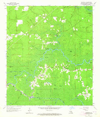
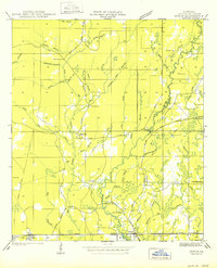
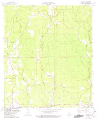
1963 Map of Whitehall
USGS Topo · Published 1964This historical map portrays the area of Whitehall in 1963, primarily covering Livingston Parish. Featuring a scale of 1:24000, this map provides a highly detailed snapshot of the terrain, roads, buildings, counties, and historical landmarks in the Whitehall region at the time. Published in 1964, it is one of 4 known editions of this map due to revisions or reprints.
Find a feature on this map
55 named features on this map. Tap any name to fly to it.
Don’t see what you’re looking for? This feature index may not catch every label — zoom into the map to look around manually.
Map Details
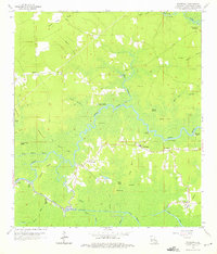
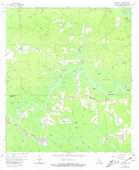
Editions of this 1963 Whitehall Map
4 editions found
Historical Maps of Denson Through Time
10 maps found
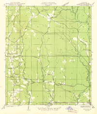
1942 Satsuma
Livingston Parish, LA
1950 Doyle
Livingston Parish, LA
1953 Satsuma
Livingston Parish, LA
1958 Pine Grove
Livingston Parish, LA
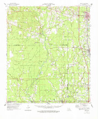
1959 Amite
Livingston Parish, LA
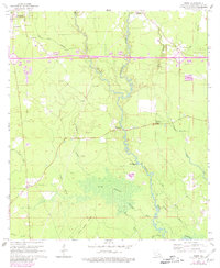
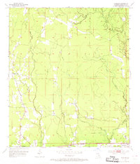
1963 Frost
Livingston Parish, LA
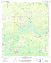
1963 Whitehall
Livingston Parish, LA
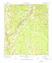
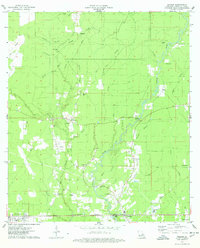
1974 Amite
Livingston Parish, LA
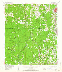
1974 Holden
Livingston Parish, LA
1980 Satsuma
Livingston Parish, LA