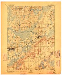
1893 Map of Whitewater
USGS Topo · Published 1903About this map
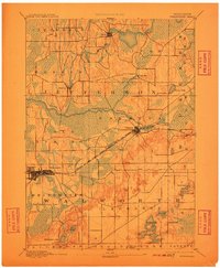
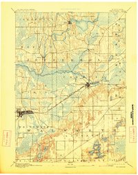
Glacial geology dictates the settlement patterns of this Southeast Wisconsin landscape, where the Chicago Milwaukee and St. Paul Railroad Prairie Du Chien Division cuts a direct line across a complex terrain of marshes and kettles. The village of Whitewater sits at the southwestern edge of the survey, serving as a gateway to the southern lake district. Further east, the town of Palmyra is situated near Spring Lake, marking a central point in a landscape defined by the winding courses of the Bark River and the Scuppernong River.
Find a feature on this map
31 named features on this map. Tap any name to fly to it.
Don’t see what you’re looking for? This feature index may not catch every label — zoom into the map to look around manually.
Map Details
Editions of this 1893 Whitewater Map
7 editions found
Other maps of this area

1891 · Waterloo
USGS Topo · 1:62,500

1891 · Koshkonong
USGS Topo · 1:62,500

1892 · Watertown
USGS Topo · 1:62,500

1892 · Oconomowoc
USGS Topo · 1:62,500

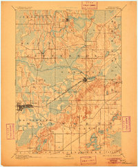
1892 · Whitewater
USGS Topo · 1:62,500

1892 · Eagle
USGS Topo · 1:62,500

1893 · Delavan
USGS Topo · 1:62,500

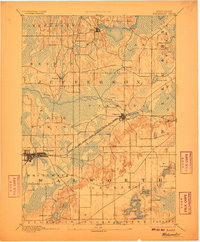
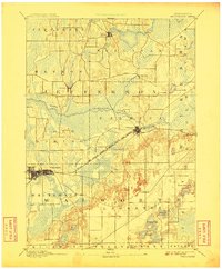
1893 · Whitewater
USGS Topo · 1:62,500

1893 · Shopiere
USGS Topo · 1:62,500

1893 · Geneva
USGS Topo · 1:62,500