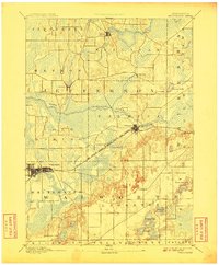
1893 Map of Whitewater
USGS Topo · Published 1908About this map
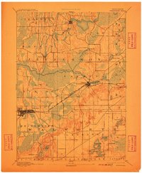
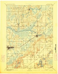
Whitewater and Palmyra serve as the primary rail hubs in this late-19th-century landscape, connected by the Prairie Du Chien Division Chicago Milwaukee and St Paul Railroad. This corridor links the agricultural prairie lands with the kettle moraine topography to the east. The drainage of the Bark River and Scuppernong River shapes the development of smaller settlements like Hebron and Rome, where early roads converge near the riverbanks. To the south, a dense cluster of glacial water bodies including the Lauderdale Lakes, Pleasant Lake, and Whitewater Lake highlights the region's natural hydrography before modern shoreline development. Small hamlets like Oak Hill and Efurt appear as simple crossroads, reflecting the dispersed rural settlement pattern of the Wisconsin frontier era.
Find a feature on this map
30 named features on this map. Tap any name to fly to it.
Don’t see what you’re looking for? This feature index may not catch every label — zoom into the map to look around manually.
Map Details
Editions of this 1893 Whitewater Map
7 editions found
Other maps of this area

1891 · Waterloo
USGS Topo · 1:62,500

1891 · Koshkonong
USGS Topo · 1:62,500

1892 · Watertown
USGS Topo · 1:62,500

1892 · Oconomowoc
USGS Topo · 1:62,500

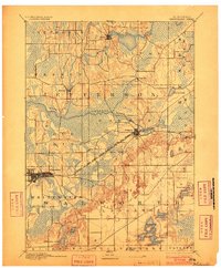
1892 · Whitewater
USGS Topo · 1:62,500

1892 · Eagle
USGS Topo · 1:62,500

1893 · Delavan
USGS Topo · 1:62,500

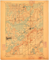
1893 · Whitewater
USGS Topo · 1:62,500

1893 · Shopiere
USGS Topo · 1:62,500

1893 · Geneva
USGS Topo · 1:62,500