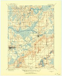
1903 Map of Whitewater
USGS Topo · Published 1953About this map
Glacial topography defines this corner of Wisconsin, where the Bark River and Scuppernong River wind through a landscape of marshy depressions and prominent hills. At the turn of the century, the Chicago Milwaukee and St. Paul railroad serves as the primary artery for commerce, connecting the established hub of Whitewater with the village of Palmyra. The map documents a rural economy still tied to the water, visible in the siting of Heaths Mills and the small crossroads of Hebron.
Find a feature on this map
36 named features on this map. Tap any name to fly to it.
Don’t see what you’re looking for? This feature index may not catch every label — zoom into the map to look around manually.
Map Details
Editions of this 1903 Whitewater Map
5 editions found

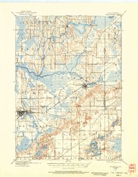
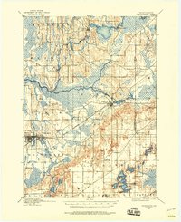
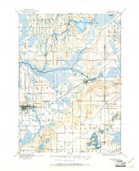
Other maps of this area

1891 · Waterloo
USGS Topo · 1:62,500

1891 · Koshkonong
USGS Topo · 1:62,500

1892 · Watertown
USGS Topo · 1:62,500

1892 · Oconomowoc
USGS Topo · 1:62,500

1892 · Whitewater
USGS Topo · 1:62,500

1892 · Eagle
USGS Topo · 1:62,500

1893 · Delavan
USGS Topo · 1:62,500

1893 · Whitewater
USGS Topo · 1:62,500

1893 · Shopiere
USGS Topo · 1:62,500

1893 · Geneva
USGS Topo · 1:62,500