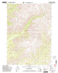
1991 Map of Wiggins Peak
USGS Topo · Published 1997About this map
Wiggins Peak and Mount Kent dominate this high-altitude landscape within the Shoshone National Forest, as documented in a 1991 revision of earlier mid-century photogrammetry. The map details a complex network of drainages including Wiggins Fork, Caldwell Creek, and Bear Creek, which have carved deep features such as Brown Canyon and Caldwell Canyon. This area is significantly defined by its remote character, designated as the Washakie Wilderness, where human infrastructure is limited to primitive routes like the Absaroka Trail West. The presence of the Thirteenth Guide Meridian West and the Eleventh Standard Parallel North provides a glimpse into the formal surveying framework used to organize this high Wyoming backcountry. The absence of settlements or improved roads emphasizes the preserved natural state of this Fremont County territory at the end of the twentieth century.
Find a feature on this map
17 named features on this map. Tap any name to fly to it.
Don’t see what you’re looking for? This feature index may not catch every label — zoom into the map to look around manually.
Map Details
Editions of this 1991 Wiggins Peak Map
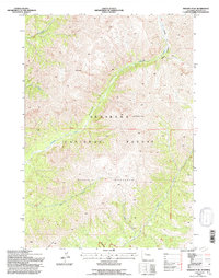
2 editions found
Other maps of this area

1904 · Kirwin
USGS Topo · 1:125,000

1905 · Younts Peak
USGS Topo · 1:125,000

1906 · Kirwin
USGS Topo · 1:125,000

1907 · Younts Peak
USGS Topo · 1:125,000

1955 · Thermopolis
USGS Topo · 1:250,000

1956 · Indian Point
USGS Topo · 1:24,000

1956 · Snow Lake
USGS Topo · 1:24,000

1956 · Emerald Lake
USGS Topo · 1:24,000

1958 · Thermopolis
USGS Topo · 1:250,000

1962 · Thermopolis
USGS Topo · 1:250,000