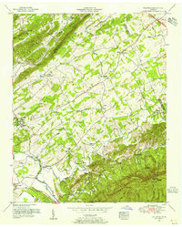
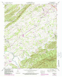
1953 Map of Wildwood
USGS Topo · Published 1955About this map
Bays Mountain and the high ridges of Chilhowee Mountain frame a landscape of tight-knit rural communities along the Little River and its tributaries. The settlement at Wildwood serves as a central hub, surrounded by a dense network of country churches and family burial grounds that reflect the deep-rooted social fabric of mid-century Blount County. Notable spiritual centers like Eusebia Church, Bethel Church, and Union Temple are dotted across the ridges and valleys, alongside local educational landmarks such as the Klondike School.
Find a feature on this map
56 named features on this map. Tap any name to fly to it.
Don’t see what you’re looking for? This feature index may not catch every label — zoom into the map to look around manually.
Map Details
Editions of this 1953 Wildwood Map
5 editions found
Other maps of this area

1886 · Knoxville
USGS Topo · 1:125,000

1892 · Knoxville
USGS Topo · 1:125,000

1894 · Knoxville
USGS Topo · 1:125,000

1895 · Knoxville
USGS Topo · 1:125,000

1901 · Knoxville
USGS Topo · 1:125,000

1935 · Knoxville
USGS Topo · 1:48,000

1935 · Walden Creek
USGS Topo · 1:24,000

1935 · Maryville
USGS Topo · 1:24,000

1935 · Wildwood
USGS Topo · 1:24,000
1935 · Blockhouse
USGS Topo · 1:24,000