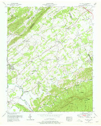
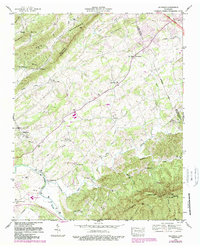
1953 Map of Wildwood
USGS Topo · Published 1978About this map
Little River winds through this Tennessee landscape at the base of Chilhowee Mountain, defining the settlement patterns of a rural region spanning Knox, Blount, and Sevier counties. The map reveals a dense network of community life established long before the 1952 field checks, anchored by numerous country churches such as Eusebia Church and Keeble Chapel. Educational roots are visible in landmarks like Klondike School and the Old Chilhowee School, which highlight the decentralized nature of early mountain communities.
Find a feature on this map
53 named features on this map. Tap any name to fly to it.
Don’t see what you’re looking for? This feature index may not catch every label — zoom into the map to look around manually.
Map Details
Editions of this 1953 Wildwood Map
5 editions found
Other maps of this area

1886 · Knoxville
USGS Topo · 1:125,000

1892 · Knoxville
USGS Topo · 1:125,000

1894 · Knoxville
USGS Topo · 1:125,000

1895 · Knoxville
USGS Topo · 1:125,000

1901 · Knoxville
USGS Topo · 1:125,000

1935 · Knoxville
USGS Topo · 1:48,000

1935 · Walden Creek
USGS Topo · 1:24,000

1935 · Maryville
USGS Topo · 1:24,000

1935 · Wildwood
USGS Topo · 1:24,000
1935 · Blockhouse
USGS Topo · 1:24,000