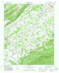
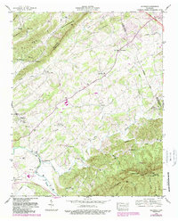
1953 Map of Wildwood
USGS Topo · Published 1981About this map
The Tennessee Valley Authority mapping services branch documented this rural corridor where the valley floors of Ellejoy Creek and Nails Creek meet the rising slopes of Chilhowee Mountain. This 1950s landscape is defined by its deep community roots, shown through a high density of country schools and churches that served as local anchors, such as Klondike School and the historic Eusebia Church.
Find a feature on this map
41 named features on this map. Tap any name to fly to it.
Don’t see what you’re looking for? This feature index may not catch every label — zoom into the map to look around manually.
Map Details
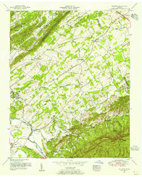
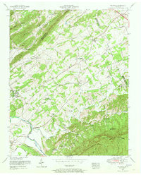
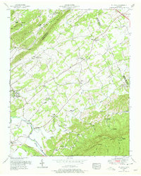
Editions of this 1953 Wildwood Map
5 editions found
Other maps of this area

1886 · Knoxville
USGS Topo · 1:125,000

1892 · Knoxville
USGS Topo · 1:125,000

1894 · Knoxville
USGS Topo · 1:125,000

1895 · Knoxville
USGS Topo · 1:125,000

1901 · Knoxville
USGS Topo · 1:125,000

1935 · Knoxville
USGS Topo · 1:48,000

1935 · Walden Creek
USGS Topo · 1:24,000

1935 · Maryville
USGS Topo · 1:24,000

1935 · Wildwood
USGS Topo · 1:24,000
1935 · Blockhouse
USGS Topo · 1:24,000