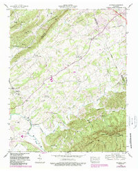
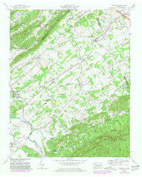
1953 Map of Wildwood
USGS Topo · Published 1988About this map
Bays Mountains and Chilhowee Mountain anchor this Tennessee landscape, where the ridges of East Tennessee shape the settlement patterns of Blount and Sevier counties. The survey captures a network of rural communities and valley farms connected by the Chapman Highway and localized centers like Wildwood and Newell Station. The density of congregational life is evident through numerous landmarks such as Keeble Chapel, Eusebia Church, and the Union Temple New Castle Church, which served as the social fabric for these valley residents.
Find a feature on this map
48 named features on this map. Tap any name to fly to it.
Don’t see what you’re looking for? This feature index may not catch every label — zoom into the map to look around manually.
Map Details
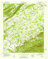
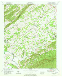
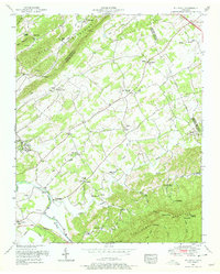
Editions of this 1953 Wildwood Map
5 editions found
Other maps of this area

1886 · Knoxville
USGS Topo · 1:125,000

1892 · Knoxville
USGS Topo · 1:125,000

1894 · Knoxville
USGS Topo · 1:125,000

1895 · Knoxville
USGS Topo · 1:125,000

1901 · Knoxville
USGS Topo · 1:125,000

1935 · Knoxville
USGS Topo · 1:48,000

1935 · Walden Creek
USGS Topo · 1:24,000

1935 · Maryville
USGS Topo · 1:24,000

1935 · Wildwood
USGS Topo · 1:24,000
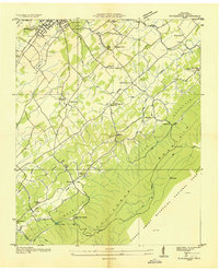
1935 · Blockhouse
USGS Topo · 1:24,000