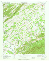
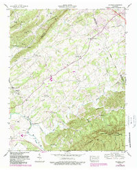
1953 Map of Wildwood
USGS Topo · Published 1973About this map
Chilhowee Mountain dominates the southern landscape of this 1953 survey, a period when the rural borderlands of Blount and Sevier Counties remained a patchwork of small-scale agriculture and community hubs. The Little River winds through the southwestern corner, accessible at the time via Davis Ford. The settlement of Wildwood serves as a central point, complete with its Athletic field, surrounded by a dense network of country churches and schools that define the social geography of the era.
Find a feature on this map
46 named features on this map. Tap any name to fly to it.
Don’t see what you’re looking for? This feature index may not catch every label — zoom into the map to look around manually.
Map Details
Editions of this 1953 Wildwood Map
5 editions found
Other maps of this area

1886 · Knoxville
USGS Topo · 1:125,000

1892 · Knoxville
USGS Topo · 1:125,000

1894 · Knoxville
USGS Topo · 1:125,000

1895 · Knoxville
USGS Topo · 1:125,000

1901 · Knoxville
USGS Topo · 1:125,000

1935 · Knoxville
USGS Topo · 1:48,000

1935 · Walden Creek
USGS Topo · 1:24,000

1935 · Maryville
USGS Topo · 1:24,000

1935 · Wildwood
USGS Topo · 1:24,000
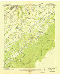
1935 · Blockhouse
USGS Topo · 1:24,000