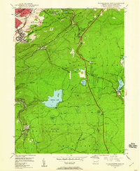
1947 Map of Wilkes-Barre East
USGS Topo · Published 1959About this map
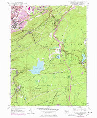
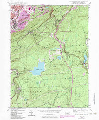
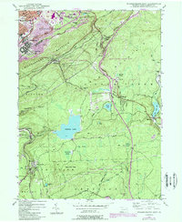
Wilkes-Barre and its eastern industrial fringes are defined by the intersection of coal mining and mountain rail corridors in this late 1940s landscape. High on the ridge above Georgetown, numerous strip mines and mine dumps overlook the tracks of the Central Railroad of Pennsylvania and the Lehigh Valley Railroad. The survey illustrates the transition from the dense urban grid of the Wyoming Valley to the high-elevation wetlands and resorts of the Poconos plateau, featuring the massive Crystal Lake and smaller bodies like Behren Pond and Fountain Lake. Local history is captured in the scattered settlements of Oliver Mills and Llewellyn Corners, alongside institutions like the Oliver Sch and Holy Trinity Cem. Southward, the map details the recreation and residential growth around Mountain Top and Glen Summit, where the terrain begins to flatten into the swamps of McKean Swamp and Long Swamp.
Find a feature on this map
60 named features on this map. Tap any name to fly to it.
Don’t see what you’re looking for? This feature index may not catch every label — zoom into the map to look around manually.
Map Details
Editions of this 1947 Wilkes-Barre East Map
7 editions found
Other maps of this area

1889 · Scranton
USGS Topo · 1:62,500

1891 · Wilkesbarre
USGS Topo · 1:62,500

1891 · Scranton
USGS Topo · 1:62,500

1893 · Pittston
USGS Topo · 1:62,500

1893 · Scranton
USGS Topo · 1:62,500

1894 · Wilkesbarre
USGS Topo · 1:62,500

1922 · Stoddartsville
USGS Topo · 1:62,500

1924 · Stoddartsville
USGS Topo · 1:62,500

1943 · Scranton
USGS Topo · 1:125,000

1943 · Stoddartsville
USGS Topo · 1:62,500