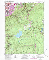
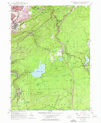
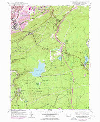
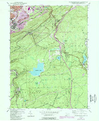
1947 Map of Wilkes-Barre East
USGS Topo · Published 1984About this map
Wilkes-Barre sits at the foot of the massive Wilkes-Barre Mountain ridge, marking the edge of a landscape defined by industry and highland recreation. The 1947 survey captures a period of transition, where active strip mines neighbor growing residential developments like Boulevard Manor. Extensive rail lines of the Conrail system wind through the gaps, connecting the coal-rich valley to the high plateau country.
Find a feature on this map
60 named features on this map. Tap any name to fly to it.
Don’t see what you’re looking for? This feature index may not catch every label — zoom into the map to look around manually.
Map Details
Editions of this 1947 Wilkes-Barre East Map
7 editions found
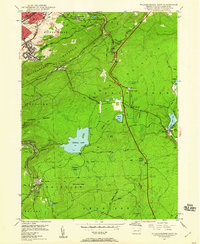
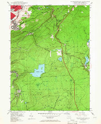
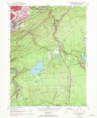
Other maps of this area

1889 · Scranton
USGS Topo · 1:62,500

1891 · Wilkesbarre
USGS Topo · 1:62,500

1891 · Scranton
USGS Topo · 1:62,500

1893 · Pittston
USGS Topo · 1:62,500

1893 · Scranton
USGS Topo · 1:62,500

1894 · Wilkesbarre
USGS Topo · 1:62,500

1922 · Stoddartsville
USGS Topo · 1:62,500

1924 · Stoddartsville
USGS Topo · 1:62,500

1943 · Scranton
USGS Topo · 1:125,000

1943 · Stoddartsville
USGS Topo · 1:62,500