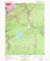
1947 Map of Wilkes-Barre East
USGS Topo · Published 1969About this map
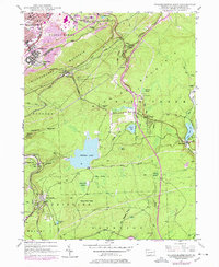
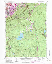
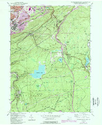
Wilkes-Barre sits at the northern edge of this Pennsylvania landscape, where industrial activity and natural topography converge. The terrain is dominated by the steep rise of Wilkes-Barre Mountain and Mount Airy, separating the urban center from the more sparsely populated highlands to the southeast. Active extraction is evident through numerous strip mines dotting the hillsides near Georgetown and Laurel Run. The transportation network is particularly dense, with the Lehigh Valley RR and the Central RR of New Jersey winding through mountain gaps alongside the modern path of the Pennsylvania Turnpike.
Find a feature on this map
61 named features on this map. Tap any name to fly to it.
Don’t see what you’re looking for? This feature index may not catch every label — zoom into the map to look around manually.
Map Details
Editions of this 1947 Wilkes-Barre East Map
7 editions found
Other maps of this area

1889 · Scranton
USGS Topo · 1:62,500

1891 · Wilkesbarre
USGS Topo · 1:62,500

1891 · Scranton
USGS Topo · 1:62,500

1893 · Pittston
USGS Topo · 1:62,500

1893 · Scranton
USGS Topo · 1:62,500

1894 · Wilkesbarre
USGS Topo · 1:62,500

1922 · Stoddartsville
USGS Topo · 1:62,500

1924 · Stoddartsville
USGS Topo · 1:62,500

1943 · Scranton
USGS Topo · 1:125,000

1943 · Stoddartsville
USGS Topo · 1:62,500