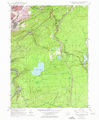
1947 Map of Wilkes-Barre East
USGS Topo · Published 1974About this map
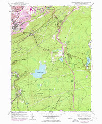
Wilkes-Barre sits at the foot of Wilkes-Barre Mountain, where mid-century industrial expansion meets the rugged ridges of the Wyoming Valley. This survey reveals a landscape defined by complex transportation corridors, featuring the Central RR of New Jersey and the Lehigh Valley RR threading through the gaps toward settlements like Laurel Run and Oliver Mills. The presence of a strip mine near the city edge contrasts with the burgeoning residential developments at Boulevard Manor and Mountain Park.
Find a feature on this map
66 named features on this map. Tap any name to fly to it.
Don’t see what you’re looking for? This feature index may not catch every label — zoom into the map to look around manually.
Map Details
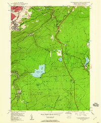
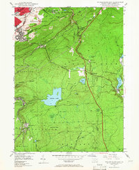
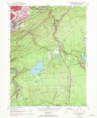
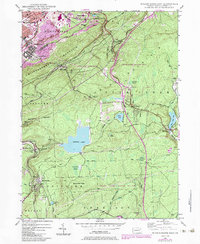
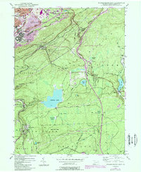
Editions of this 1947 Wilkes-Barre East Map
7 editions found
Other maps of this area

1889 · Scranton
USGS Topo · 1:62,500

1891 · Wilkesbarre
USGS Topo · 1:62,500

1891 · Scranton
USGS Topo · 1:62,500

1893 · Pittston
USGS Topo · 1:62,500

1893 · Scranton
USGS Topo · 1:62,500

1894 · Wilkesbarre
USGS Topo · 1:62,500

1922 · Stoddartsville
USGS Topo · 1:62,500

1924 · Stoddartsville
USGS Topo · 1:62,500

1943 · Scranton
USGS Topo · 1:125,000

1943 · Stoddartsville
USGS Topo · 1:62,500