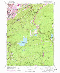
1947 Map of Wilkes-Barre East
USGS Topo · Published 1978About this map
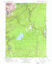
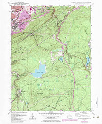
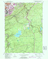
Wilkes-Barre sits at the edge of a landscape defined by the anthracite industry and the climb into the Poconos. This post-war update traces the heavy infrastructure of the era, from the numerous Strip Mine operations flanking Wilkes-Barre Mountain to the path of the Pennsylvania Turnpike Northeast Extension. Beyond the industrial core, the map reveals smaller upland communities like Laurel Run and Oliver Mills, where the Oliver Sch and Laurel Sch served local families. The southern half of the sheet shifts toward the high plateaus and wetlands, anchored by Crystal Lake and the summer colony at Glen Summit. These areas are characterized by vast marshes like Jimmy Kane Swamp and McKean Swamp, illustrating the transition from the coal-rich valley floor to the high, water-abundant reaches of the mountainside.
Find a feature on this map
61 named features on this map. Tap any name to fly to it.
Don’t see what you’re looking for? This feature index may not catch every label — zoom into the map to look around manually.
Map Details
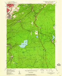
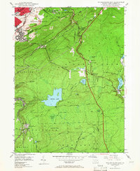
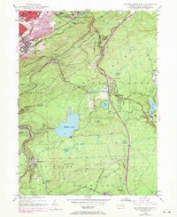
Editions of this 1947 Wilkes-Barre East Map
7 editions found
Other maps of this area

1889 · Scranton
USGS Topo · 1:62,500

1891 · Wilkesbarre
USGS Topo · 1:62,500

1891 · Scranton
USGS Topo · 1:62,500

1893 · Pittston
USGS Topo · 1:62,500

1893 · Scranton
USGS Topo · 1:62,500

1894 · Wilkesbarre
USGS Topo · 1:62,500

1922 · Stoddartsville
USGS Topo · 1:62,500

1924 · Stoddartsville
USGS Topo · 1:62,500

1943 · Scranton
USGS Topo · 1:125,000

1943 · Stoddartsville
USGS Topo · 1:62,500