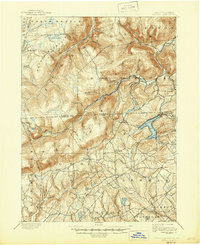
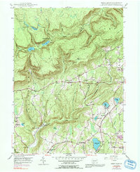
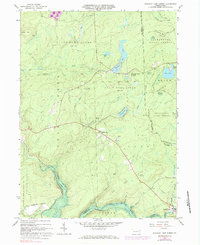
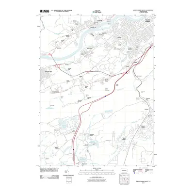
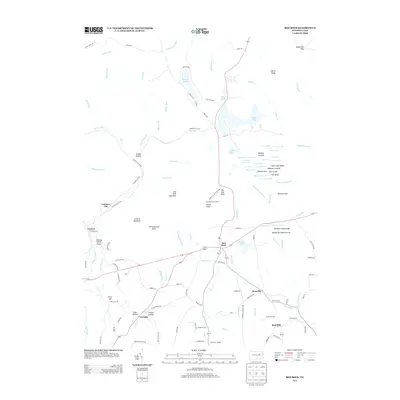
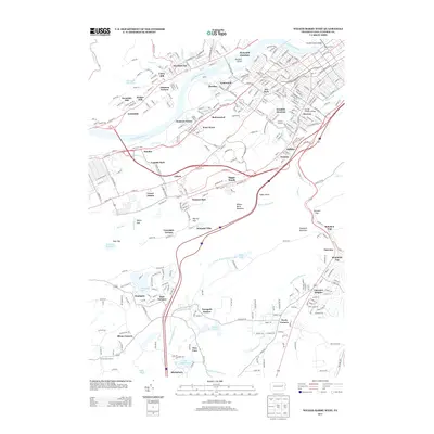
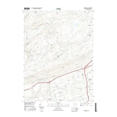
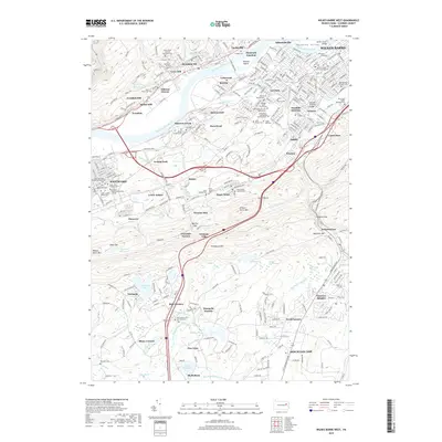
1947 Map of Wilkes-Barre East
USGS Topo · Published 1988About this map
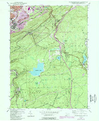
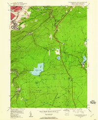
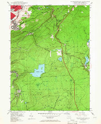
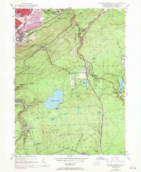
Wilkes Barre Mountain and Penobscot Mountain dominate the central landscape of this 1947 Luzerne County survey, separating the urban edge of Wilkes-Barre from the high plateaus and wetlands to the south. The transition from industrial city to wilderness is immediate, with a Strip Mine and the Conrail rail lines giving way to vast conservation areas like State Game Lands No 91. The map reveals a high-elevation landscape defined by significant water bodies and peatlands, including Crystal Lake, Bear Creek Lake, and the curiously named Jimmy Kane Swamp. Pockets of early 20th-century settlement such as Glen Summit, Mountain Top, and Laurel Run are connected by the historic Sullivan Trail. Along the southern reaches, rural remnants like the Ochre Mill and Oliver Sch point to the area's older agricultural and timbering roots before the expansion of suburban enclaves like Boulevard Manor.
Find a feature on this map
63 named features on this map. Tap any name to fly to it.
Don’t see what you’re looking for? This feature index may not catch every label — zoom into the map to look around manually.
Map Details
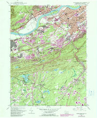
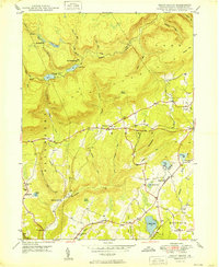
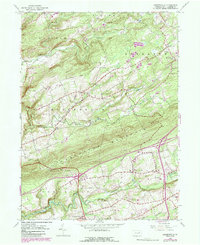
Editions of this 1947 Wilkes-Barre East Map
7 editions found
Historical Maps of Wilkes-Barre Through Time
50 maps found
1893 Harvey Lake
Luzerne County, PA
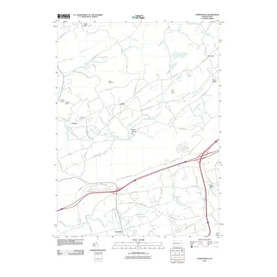
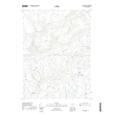
1946 Sweet Valley
Luzerne County, PA

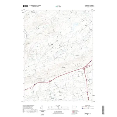
1946 Sybertsville
Luzerne County, PA
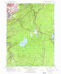
1947 Wilkes-Barre East
Luzerne County, PA
1947 Wilkes-Barre West
Luzerne County, PA
1949 Sweet Valley
Luzerne County, PA

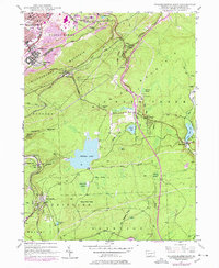
1950 Wilkes-Barre East
Luzerne County, PA

1950 Wilkes-Barre West
Luzerne County, PA
1955 Sybertsville
Luzerne County, PA
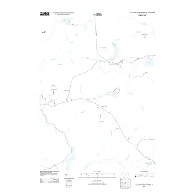
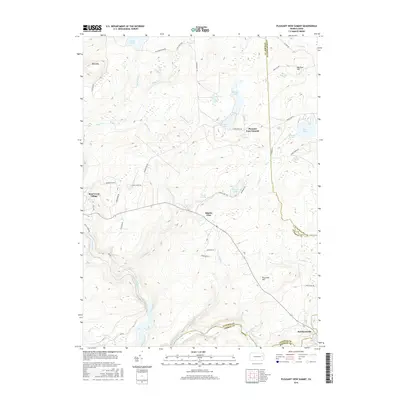
1965 Pleasant View Summit
Luzerne County, PA
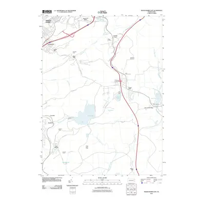
1969 Red Rock
Luzerne County, PA

1976 Pleasant View Summit
Luzerne County, PA

1976 Sybertsville
Luzerne County, PA

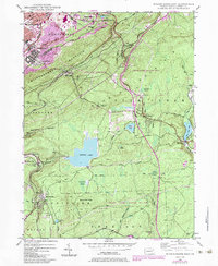
1976 Wilkes-Barre East
Luzerne County, PA

1976 Wilkes-Barre West
Luzerne County, PA

1992 Pleasant View Summit
Luzerne County, PA

1994 Wilkes-Barre East
Luzerne County, PA

1995 Red Rock
Luzerne County, PA

1997 Pleasant View Summit
Luzerne County, PA

1999 Wilkes-Barre East
Luzerne County, PA
2010 Pleasant View Summit
Luzerne County, PA

2010 Red Rock
Luzerne County, PA
2010 Sweet Valley
Luzerne County, PA
2010 Sybertsville
Luzerne County, PA
2010 Wilkes-Barre East
Luzerne County, PA
2010 Wilkes-Barre West
Luzerne County, PA
2013 Pleasant View Summit
Luzerne County, PA
2013 Red Rock
Luzerne County, PA
2013 Sweet Valley
Luzerne County, PA
2013 Sybertsville
Luzerne County, PA
2013 Wilkes-Barre East
Luzerne County, PA
2013 Wilkes-Barre West
Luzerne County, PA
2016 Pleasant View Summit
Luzerne County, PA
2016 Red Rock
Luzerne County, PA
2016 Sweet Valley
Luzerne County, PA
2016 Sybertsville
Luzerne County, PA
2016 Wilkes-Barre East
Luzerne County, PA

2016 Wilkes-Barre West
Luzerne County, PA
2019 Pleasant View Summit
Luzerne County, PA
2019 Red Rock
Luzerne County, PA
2019 Sweet Valley
Luzerne County, PA
2019 Sybertsville
Luzerne County, PA
2019 Wilkes-Barre East
Luzerne County, PA
2019 Wilkes-Barre West
Luzerne County, PA

2023 Pleasant View Summit
Luzerne County, PA

2023 Red Rock
Luzerne County, PA
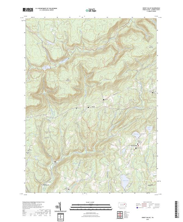
2023 Sweet Valley
Luzerne County, PA

2023 Sybertsville
Luzerne County, PA
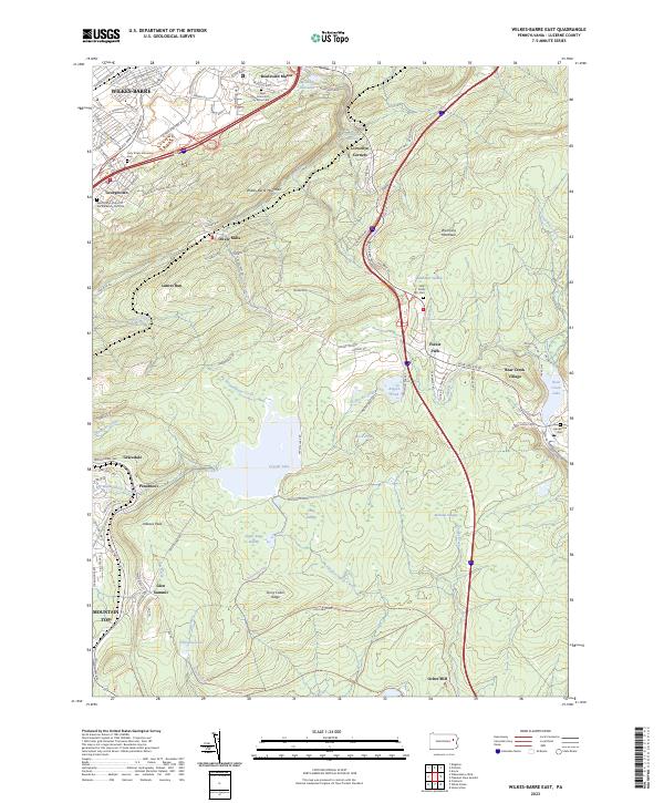
2023 Wilkes-Barre East
Luzerne County, PA

2023 Wilkes-Barre West
Luzerne County, PA