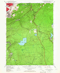
1947 Map of Wilkes-Barre East
USGS Topo · Published 1966About this map
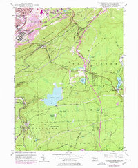
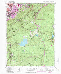
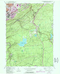
Wilkes-Barre Mountain dominates the center of this landscape, separating the industrial bustle of Wilkes-Barre and Georgetown from the higher plateau to the southeast. At the turn of the post-war era, the anthracite coal influence remains visible in the strip mine and mine dump topography north of Laurel Run, while the southern half of the map reveals a shift toward recreation and summer residence. Features like Crystal Lake, Bear Creek Lake, and Forest Park signify the area's transition into a mountain retreat for valley residents.
Find a feature on this map
66 named features on this map. Tap any name to fly to it.
Don’t see what you’re looking for? This feature index may not catch every label — zoom into the map to look around manually.
Map Details
Editions of this 1947 Wilkes-Barre East Map
7 editions found
Other maps of this area

1889 · Scranton
USGS Topo · 1:62,500

1891 · Wilkesbarre
USGS Topo · 1:62,500

1891 · Scranton
USGS Topo · 1:62,500

1893 · Pittston
USGS Topo · 1:62,500

1893 · Scranton
USGS Topo · 1:62,500

1894 · Wilkesbarre
USGS Topo · 1:62,500

1922 · Stoddartsville
USGS Topo · 1:62,500

1924 · Stoddartsville
USGS Topo · 1:62,500

1943 · Scranton
USGS Topo · 1:125,000

1943 · Stoddartsville
USGS Topo · 1:62,500