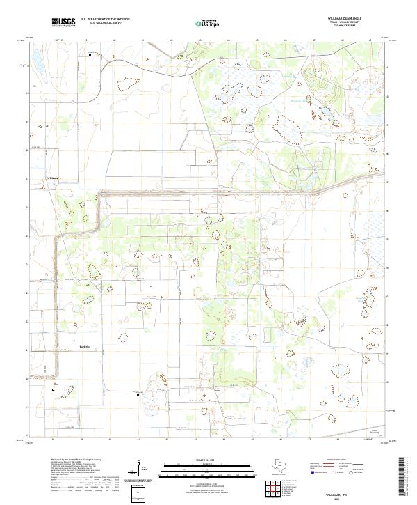
2022 Map of Willamar
USGS Topo · Published 2022About this map
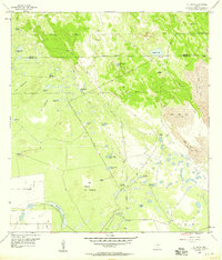
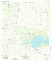
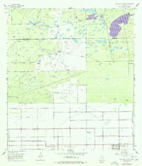
Willamar serves as a primary reference point in this coastal prairie landscape of South Texas, where a rectilinear grid of farm-to-market roads and county routes defines the modern agricultural footprint. Small rural settlements like Porfirio are situated along these transit lines, reflecting the area's transition into systematic ranching and farming operations. The terrain is marked by essential water management features such as Sacatosa Tank, Retamita Tank, and Long Hill Tank, which are critical for livestock and land use in this semi-arid environment. Local heritage is preserved in scattered burial grounds including El Toro Cem, Las Rucias Cem, and La Jarita Cem. The southern edge of the survey is dominated by the North Floodway, a significant piece of regional infrastructure designed for water control across the Willacy County plains.
Find a feature on this map
33 named features on this map. Tap any name to fly to it.
Don’t see what you’re looking for? This feature index may not catch every label — zoom into the map to look around manually.
Map Details
Editions of this 2022 Willamar Map
This is the sole edition of this map. No revisions or reprints were ever made.
Historical Maps of Porfirio Through Time
20 maps found
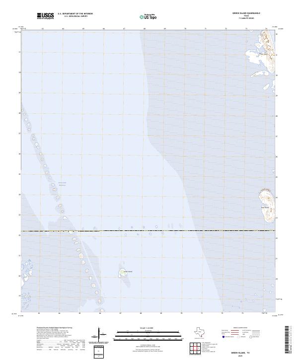
1952 Green Island
Willacy County, TX
1952 Hawk Island
Willacy County, TX
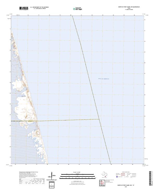
1952 North Of Port Isabel NW
Willacy County, TX
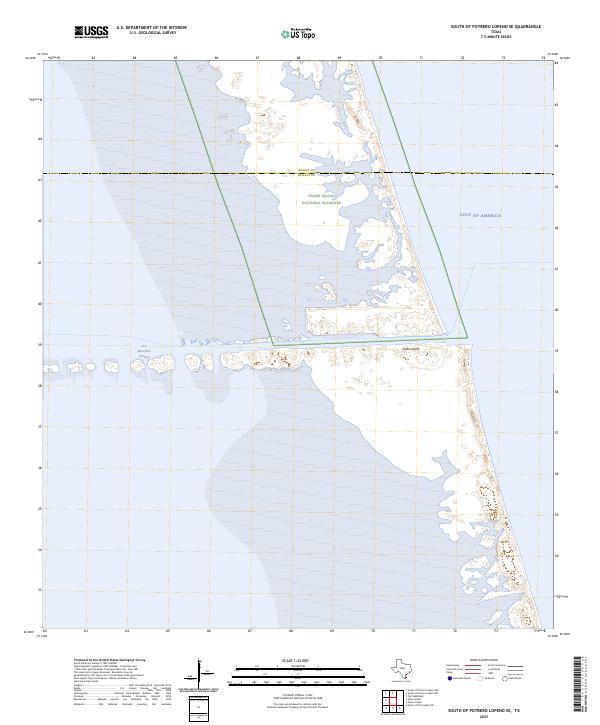
1952 South of Potrero Lopeno SE
Willacy County, TX
1956 El Jardin
Willacy County, TX
1956 La Sal Vieja
Willacy County, TX
1956 San Perlita North
Willacy County, TX
1956 San Perlita South
Willacy County, TX
1956 Willamar
Willacy County, TX
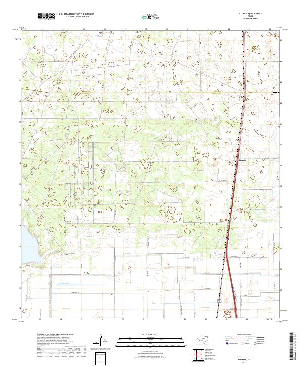
1956 Yturria
Willacy County, TX
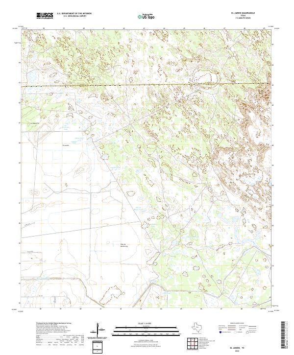
2022 El Jardin
Willacy County, TX
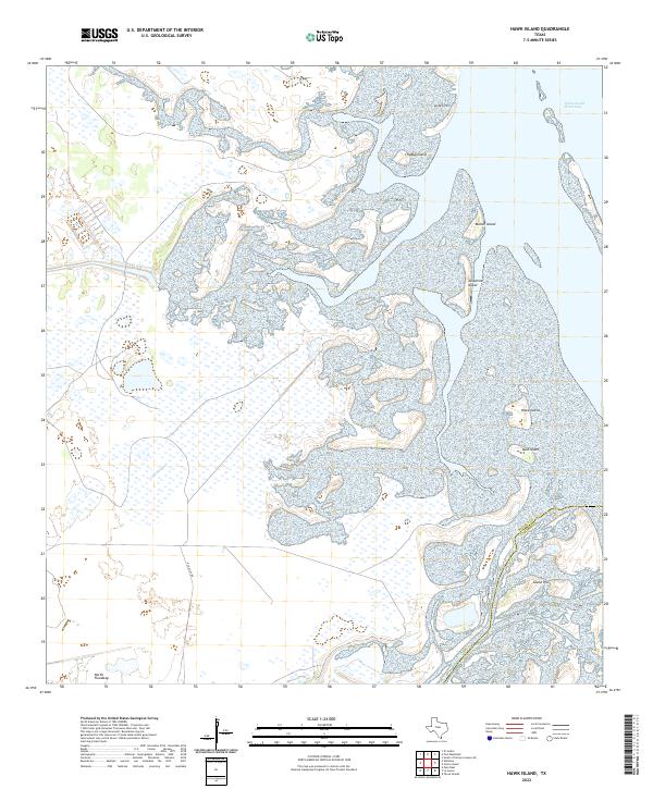
2022 Hawk Island
Willacy County, TX
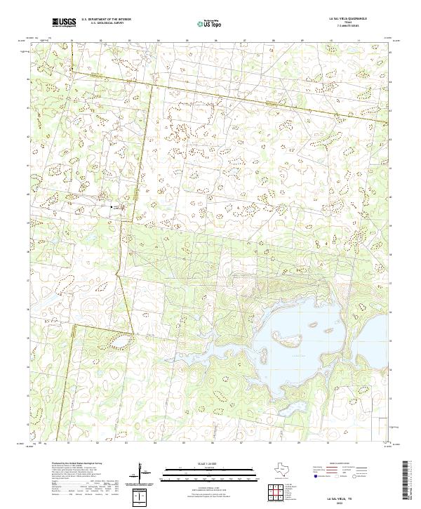
2022 La Sal Vieja
Willacy County, TX
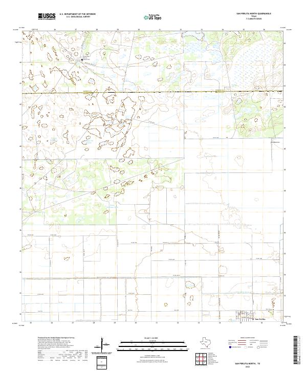
2022 San Perlita North
Willacy County, TX
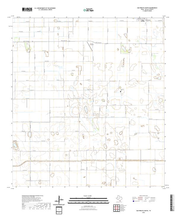
2022 San Perlita South
Willacy County, TX
2022 Willamar
Willacy County, TX
2022 Yturria
Willacy County, TX
2025 Green Island
Willacy County, TX
2025 North of Port Isabel NW
Willacy County, TX
2025 South of Potrero Lopeno SE
Willacy County, TX