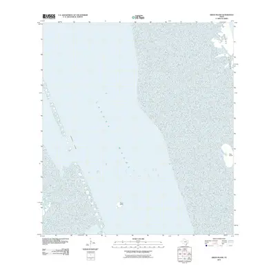
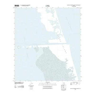
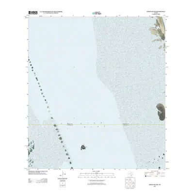
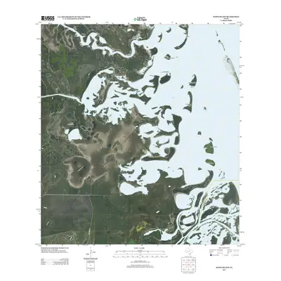
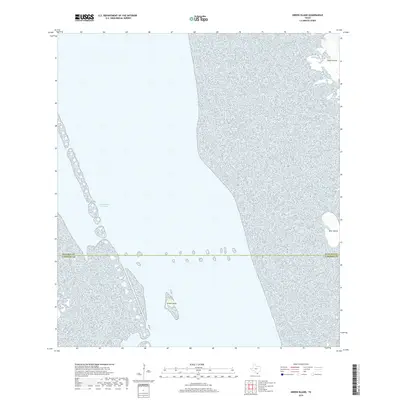
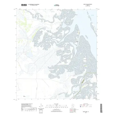
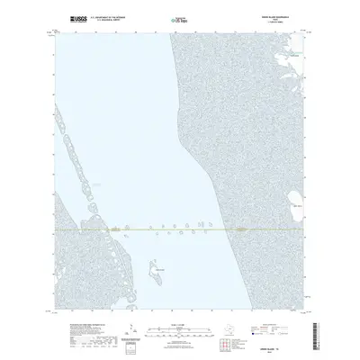
2022 Map of Hawk Island
USGS Topo · Published 2022About this map
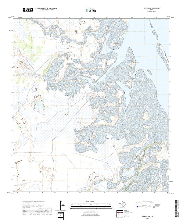
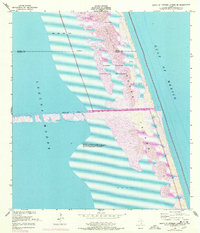
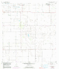
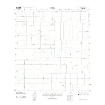
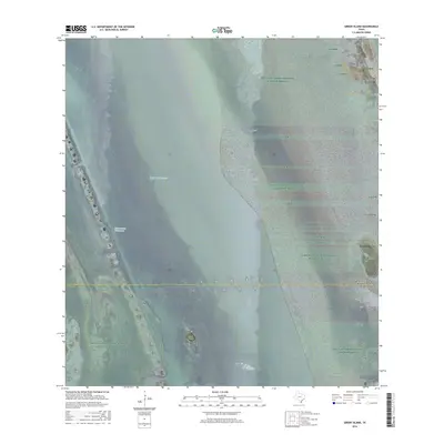
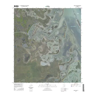
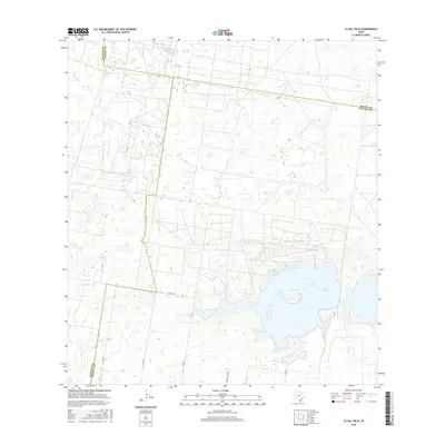
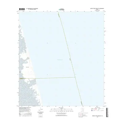
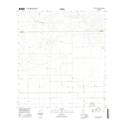
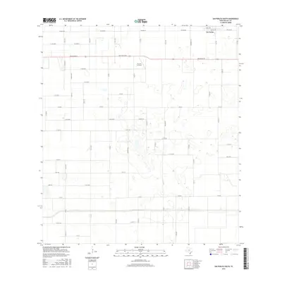
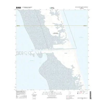
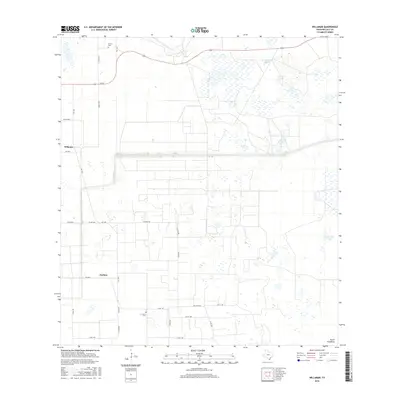
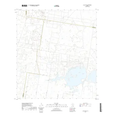
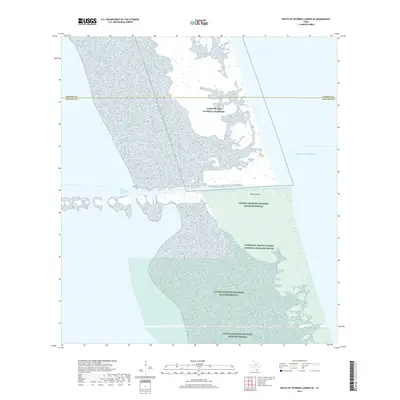
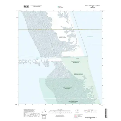
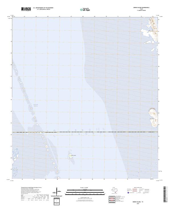
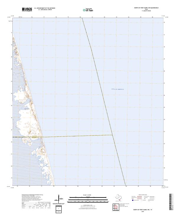
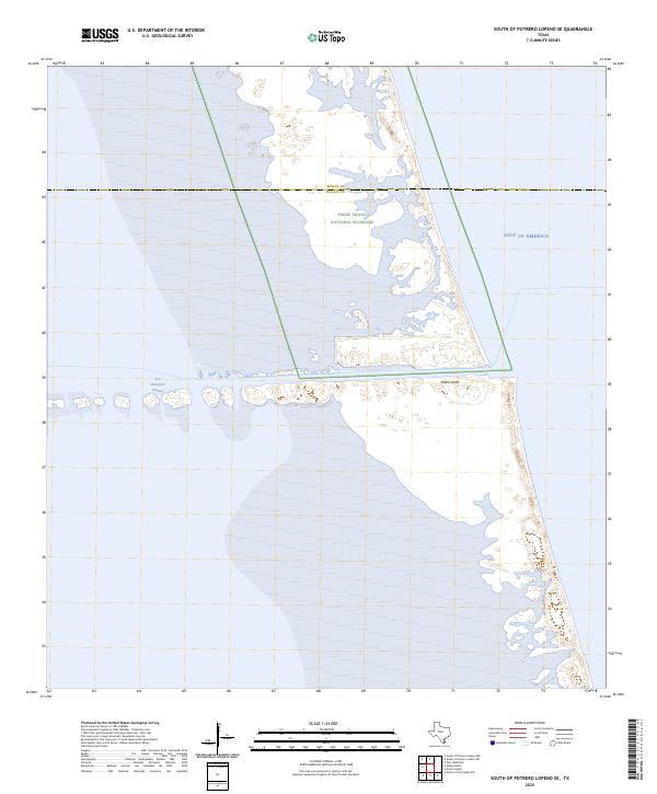
The Willacy County and Cameron County line bisects this 2022 survey of the Texas coast, revealing a landscape defined by shifting salt marshes and tidal islands. The Intracoastal Waterway cuts through the eastern portion of the map, serving as a vital artery for commercial traffic along the Gulf. Landforms such as Hawk Island, Mud Island, and Josephine Island dominate the estuarine environment, while subtle elevations like Green Hill and Goose Hill provide rare relief in the low-lying wetlands. Historically, Old Alice Rd serves as a reminder of early overland travel routes across the South Texas plains, now terminating near the expansive drainage systems of the North Floodway. The map captures the delicate balance between natural coastal erosion and engineered water management at the edge of the Laguna Madre.
Find a feature on this map
11 named features on this map. Tap any name to fly to it.
Don’t see what you’re looking for? This feature index may not catch every label — zoom into the map to look around manually.
Map Details
Editions of this 2022 Hawk Island Map
This is the sole edition of this map. No revisions or reprints were ever made.
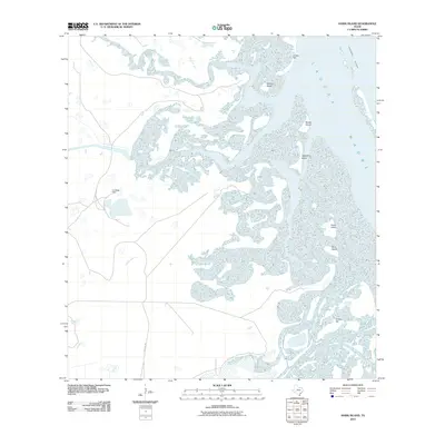
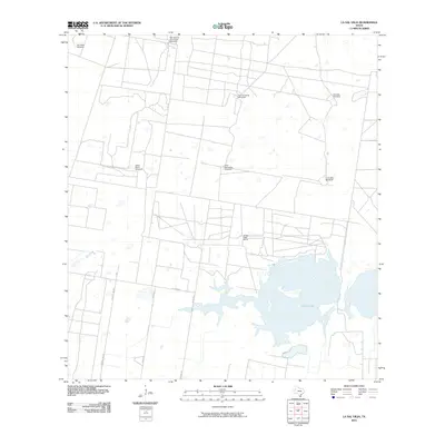
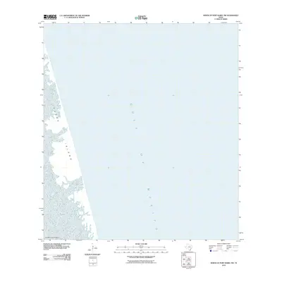
Historical Maps of Cameron County Through Time
63 maps found
1952 Green Island
Willacy County, TX
1952 Hawk Island
Willacy County, TX
1952 North Of Port Isabel NW
Willacy County, TX
1952 South of Potrero Lopeno SE
Willacy County, TX
1956 El Jardin
Willacy County, TX
1956 La Sal Vieja
Willacy County, TX
1956 San Perlita North
Willacy County, TX
1956 San Perlita South
Willacy County, TX
1956 Willamar
Willacy County, TX
1956 Yturria
Willacy County, TX
2010 El Jardin
Willacy County, TX
2010 Green Island
Willacy County, TX
2010 Hawk Island
Willacy County, TX
2010 La Sal Vieja
Willacy County, TX
2010 North of Port Isabel NW
Willacy County, TX
2010 San Perlita North
Willacy County, TX
2010 San Perlita South
Willacy County, TX
2010 South of Potrero Lopeno SE
Willacy County, TX
2010 Willamar
Willacy County, TX
2010 Yturria
Willacy County, TX
2012 Green Island
Willacy County, TX
2012 South of Potrero Lopeno SE
Willacy County, TX
2013 El Jardin
Willacy County, TX
2013 Hawk Island
Willacy County, TX
2013 La Sal Vieja
Willacy County, TX
2013 North of Port Isabel NW
Willacy County, TX
2013 San Perlita North
Willacy County, TX
2013 San Perlita South
Willacy County, TX
2013 Willamar
Willacy County, TX
2013 Yturria
Willacy County, TX
2016 El Jardin
Willacy County, TX
2016 Green Island
Willacy County, TX
2016 Hawk Island
Willacy County, TX
2016 La Sal Vieja
Willacy County, TX
2016 North of Port Isabel NW
Willacy County, TX
2016 San Perlita North
Willacy County, TX
2016 San Perlita South
Willacy County, TX
2016 South of Potrero Lopeno SE
Willacy County, TX
2016 Willamar
Willacy County, TX
2016 Yturria
Willacy County, TX
2019 El Jardin
Willacy County, TX
2019 Green Island
Willacy County, TX
2019 Hawk Island
Willacy County, TX
2019 La Sal Vieja
Willacy County, TX
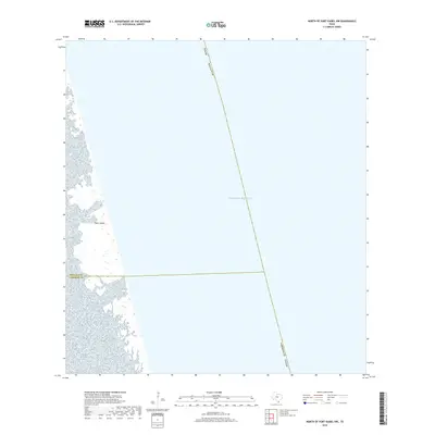
2019 North of Port Isabel NW
Willacy County, TX
2019 San Perlita North
Willacy County, TX
2019 San Perlita South
Willacy County, TX
2019 South of Potrero Lopeno SE
Willacy County, TX
2019 Willamar
Willacy County, TX
2019 Yturria
Willacy County, TX
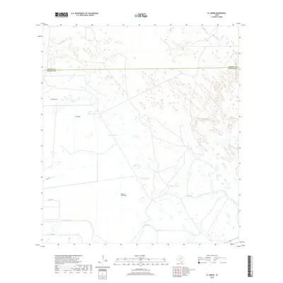
2022 El Jardin
Willacy County, TX
2022 Green Island
Willacy County, TX
2022 Hawk Island
Willacy County, TX
2022 La Sal Vieja
Willacy County, TX
2022 North of Port Isabel NW
Willacy County, TX
2022 San Perlita North
Willacy County, TX
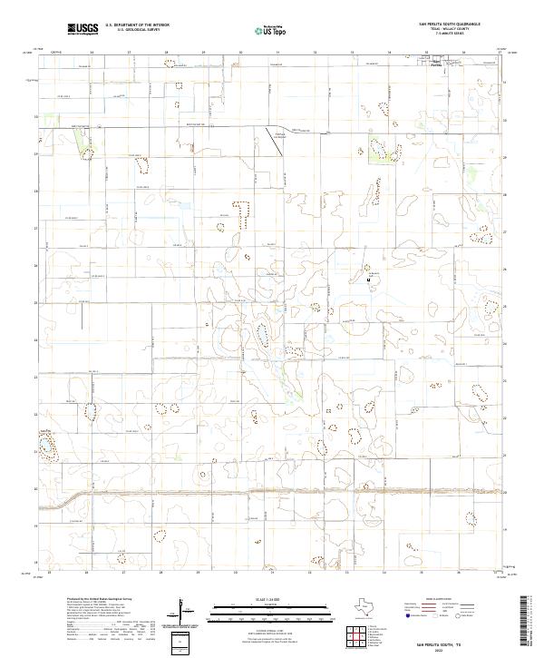
2022 San Perlita South
Willacy County, TX
2022 South of Potrero Lopeno SE
Willacy County, TX
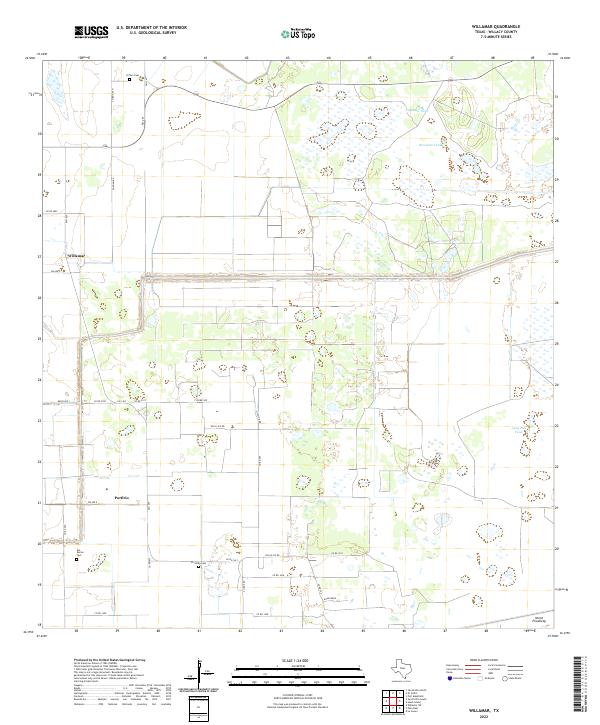
2022 Willamar
Willacy County, TX
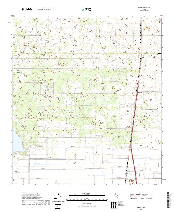
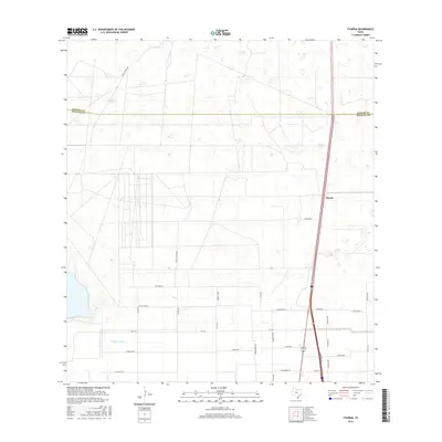
2022 Yturria
Willacy County, TX
2025 Green Island
Willacy County, TX
2025 North of Port Isabel NW
Willacy County, TX
2025 South of Potrero Lopeno SE
Willacy County, TX