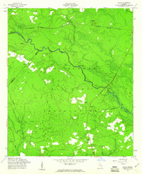
1958 Map of Willie
USGS Topo · Published 1961About this map
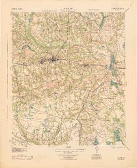
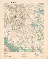
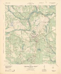
Fort Stewart Military Reservation dominates this Georgia landscape, documenting a transition where private lands and older settlements were absorbed into a vast military training area. The survey preserves the location of Willie, a community reduced to a site name by the late 1950s, along with several family-named landmarks that point to the area's agricultural past. Family history is anchored by scattered burial grounds, including Jerusalem Cem, Moody Cem, and Elarbee Cem, which remain within the reservation boundaries.
Find a feature on this map
25 named features on this map. Tap any name to fly to it.
Don’t see what you’re looking for? This feature index may not catch every label — zoom into the map to look around manually.
Map Details
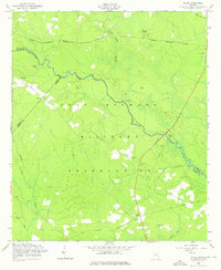
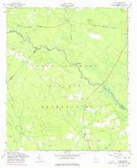
Editions of this 1958 Willie Map
3 editions found
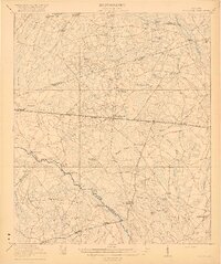
Other maps of this area

1918 · Hinesville
USGS Topo · 1:62,500

1919 · Claxton
USGS Topo · 1:62,500
1920 · Pembroke
USGS Topo · 1:62,500

1920 · Glennville
USGS Topo · 1:62,500
1944 · Claxton
USGS Topo · 1:62,500
1944 · Glennville
USGS Topo · 1:62,500
1944 · Hinesville
USGS Topo · 1:62,500

1946 · Brunswick
USGS Topo · 1:250,000

1947 · Savannah
USGS Topo · 1:250,000

1948 · Brunswick
USGS Topo · 1:250,000