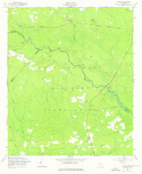
1958 Map of Willie
USGS Topo · Published 1976About this map
Fort Stewart Military Reservation dominates this landscape in Liberty, Evans, and Bryan counties, as mapped in the late 1950s. The area is characterized by the winding course of the Canoochee River and various low-lying wetlands such as Strum Bay and Otter Hole Branch. A significant cultural layer exists within the military boundary, marked by the location of Willie (Site) and several scattered family or community burial grounds including Jerusalem Cem, Salem Cem, and Elarbee Cem.
Find a feature on this map
24 named features on this map. Tap any name to fly to it.
Don’t see what you’re looking for? This feature index may not catch every label — zoom into the map to look around manually.
Map Details
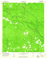
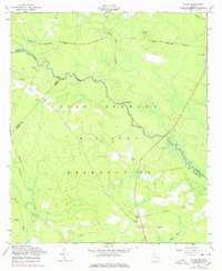
Editions of this 1958 Willie Map
3 editions found
Other maps of this area

1918 · Hinesville
USGS Topo · 1:62,500

1919 · Claxton
USGS Topo · 1:62,500

1920 · Pembroke
USGS Topo · 1:62,500

1920 · Glennville
USGS Topo · 1:62,500

1944 · Claxton
USGS Topo · 1:62,500

1944 · Glennville
USGS Topo · 1:62,500

1944 · Hinesville
USGS Topo · 1:62,500

1946 · Brunswick
USGS Topo · 1:250,000

1947 · Savannah
USGS Topo · 1:250,000

1948 · Brunswick
USGS Topo · 1:250,000