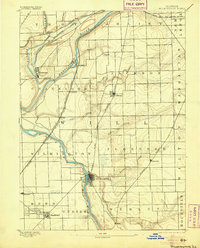
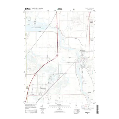
1892 Map of Wilmington
USGS Topo · Published 1905About this map
The confluence of the Desplaines River and Kankakee River anchors this late-nineteenth-century landscape, where river-based transport intersects with a burgeoning rail network. The Illinois and Michigan Canal runs parallel to the rivers near Channahon, illustrating the early industrial reliance on waterway navigation. This period shows a complex web of iron roads including the Chicago and Alton Railway and the Wabash Railway, which facilitated the growth of shipping points like Elwood and Symerton.
Find a feature on this map
40 named features on this map. Tap any name to fly to it.
Don’t see what you’re looking for? This feature index may not catch every label — zoom into the map to look around manually.
Map Details
Editions of this 1892 Wilmington Map
3 editions found

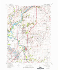
Historical Maps of Joliet Through Time
11 maps found
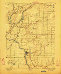
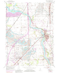
1892 Wilmington
Will County, IL
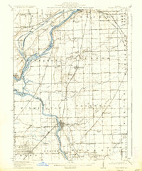
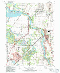
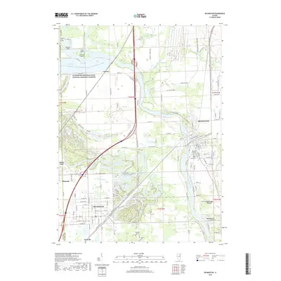
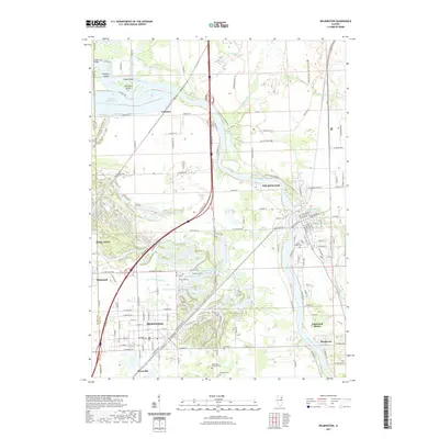
1918 Wilmington
Will County, IL
1954 Wilmington
Will County, IL
1954 Wilmington
Will County, IL
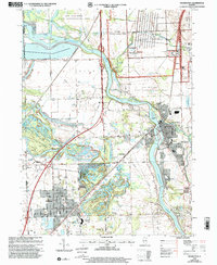
1993 Wilmington
Will County, IL
1999 Wilmington
Will County, IL
2012 Wilmington
Will County, IL
2015 Wilmington
Will County, IL
2018 Wilmington
Will County, IL
2021 Wilmington
Will County, IL
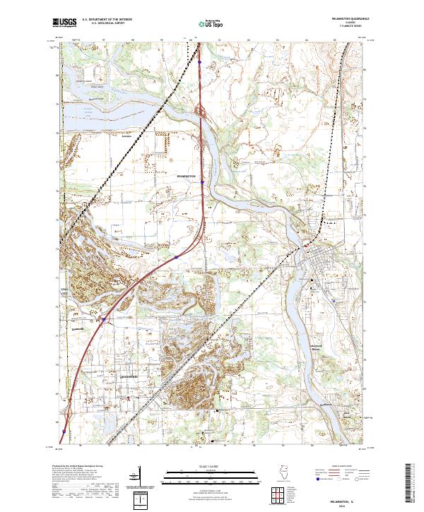
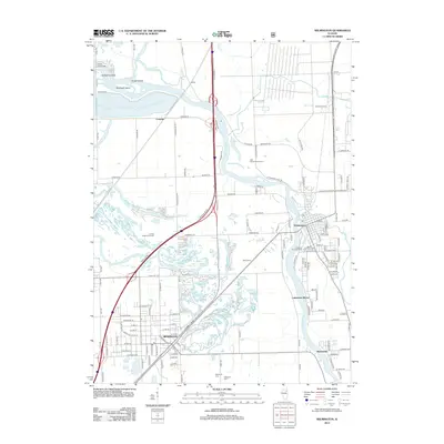
2024 Wilmington
Will County, IL