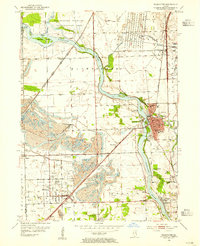
1954 Map of Wilmington
USGS Topo · Published 1955About this map
The Kankakee River winds through this mid-century landscape, carving a path past Wilmington and the massive Strip Mines that dominate the terrain to the southwest. The expansion of industrial coal extraction is evident in the numerous Mine Dumps near Braidwood and Diamond, contrasting sharply with the preservation efforts at the Des Plaines Wildlife Conservation Area and Bardwell Island to the north.
Find a feature on this map
43 named features on this map. Tap any name to fly to it.
Don’t see what you’re looking for? This feature index may not catch every label — zoom into the map to look around manually.
Map Details
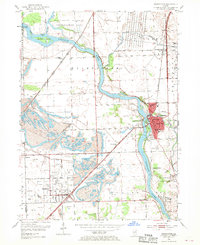
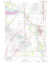
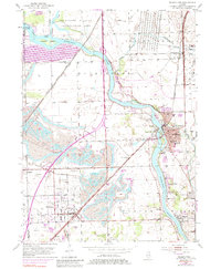
Editions of this 1954 Wilmington Map
4 editions found
Other maps of this area

1892 · Morris
USGS Topo · 1:62,500

1892 · Wilmington
USGS Topo · 1:62,500

1918 · Wilmington
USGS Topo · 1:62,500

1918 · Morris
USGS Topo · 1:62,500

1923 · Herscher
USGS Topo · 1:62,500

1925 · Herscher
USGS Topo · 1:62,500

1948 · Dwight
USGS Topo · 1:62,500

1950 · Dwight
USGS Topo · 1:62,500

1953 · Coal City
USGS Topo · 1:24,000

1953 · Symerton
USGS Topo · 1:24,000