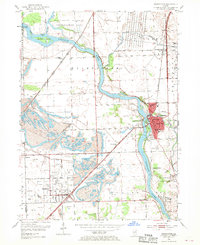
1954 Map of Wilmington
USGS Topo · Published 1970About this map
The Kankakee River carves a winding path through the heart of this landscape, separating the industrial coal fields to the south from the protected wetlands of the Des Plaines Wildlife Conservation Area. In Wilmington, the concentration of civic life is evident through a dense cluster of schools and landmarks, including the Soldiers Widows Home and St Rose Sch. This 1950s survey captures a community defined by both heavy industry and agricultural roots, with extensive Strip Mine operations sprawling across the southwest near Braidwood and Diamond. The presence of numerous distinct burial grounds, such as Mt Olive Cem, Bohemian Cem, and Oak Lawn Cem, provides a detailed record for genealogical research. Transportation is anchored by the Gulf Mobile and Ohio and the Atchison Topeka and Santa Fe railroads, which served the coal and freight needs of the region during this mid-century period.
Find a feature on this map
38 named features on this map. Tap any name to fly to it.
Don’t see what you’re looking for? This feature index may not catch every label — zoom into the map to look around manually.
Map Details
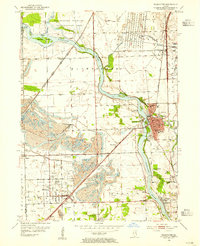
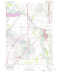
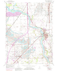
Editions of this 1954 Wilmington Map
4 editions found
Other maps of this area

1892 · Morris
USGS Topo · 1:62,500

1892 · Wilmington
USGS Topo · 1:62,500

1918 · Wilmington
USGS Topo · 1:62,500

1918 · Morris
USGS Topo · 1:62,500

1923 · Herscher
USGS Topo · 1:62,500

1925 · Herscher
USGS Topo · 1:62,500

1948 · Dwight
USGS Topo · 1:62,500

1950 · Dwight
USGS Topo · 1:62,500

1953 · Coal City
USGS Topo · 1:24,000

1953 · Symerton
USGS Topo · 1:24,000