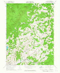
1964 Map of Wilpen
USGS Topo · Published 1966About this map
Chestnut Ridge dominates the western landscape of this mid-1960s survey, marking a sharp topographic divide between the forested highlands and the developed valleys of Ligonier and Fairfield townships. Along the eastern base of the ridge, the village of Wilpen sits at a crossroads near Hannahs Run, while industrial activity is evident in the numerous strip mines and a quarry scattered across the hillsides. The southern portion of the map follows the winding course of Mill Creek, where the settlements of Oak Grove and Waterford are situated.
Find a feature on this map
49 named features on this map. Tap any name to fly to it.
Don’t see what you’re looking for? This feature index may not catch every label — zoom into the map to look around manually.
Map Details
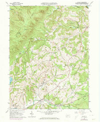
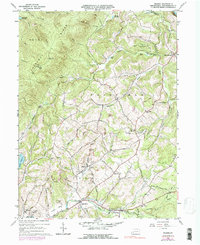
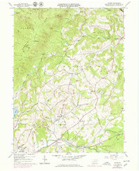
Editions of this 1964 Wilpen Map
4 editions found
Other maps of this area

1900 · Latrobe
USGS Topo · 1:62,500

1902 · Latrobe
USGS Topo · 1:62,500

1903 · Latrobe
USGS Topo · 1:62,500

1913 · Somerset
USGS Topo · 1:62,500

1915 · Somerset
USGS Topo · 1:62,500

1920 · New Florence
USGS Topo · 1:62,500

1921 · New Florence
USGS Topo · 1:48,000

1922 · Donegal
USGS Topo · 1:62,500

1922 · New Florence
USGS Topo · 1:62,500

1935 · Donegal
USGS Topo · 1:62,500
Featured Places
- Fairfield Township, PA
- Ligonier Township, PA
- Wilpen, Ligonier Township
- Waterford, Ligonier Township
- Hillsview, Ligonier Township