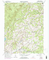
1964 Map of Wilpen
USGS Topo · Published 1979About this map
Chestnut Ridge dominates the western landscape of this mid-century survey, its slopes marked by notable landmarks like the Bear Cave Lookout Tower and a Radio Tower. The Ligonier Valley below reveals a pattern of rural settlement and industry, where the village of Wilpen sits at the junction of Hannas Run and Ramsey Run. Small coal operations are evident through multiple Strip Mine sites and a Tipple located near the old railroad grade that parallels Mill Creek. Local life is anchored by several country congregations, including Fort Palmer Ch, St Johns Ch, and St Anns Ch, alongside the Township Sch near West Fairfield. The terrain is deeply etched by numerous hollows such as Beer Pond Hollow and Death Hollow, while the Latrobe Reservoir and Blairsville Reservoir indicate the vital water management of the Ligonier and Derry regions.
Find a feature on this map
77 named features on this map. Tap any name to fly to it.
Don’t see what you’re looking for? This feature index may not catch every label — zoom into the map to look around manually.
Map Details
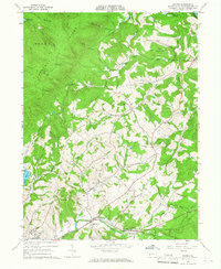
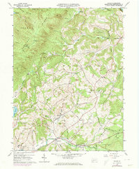
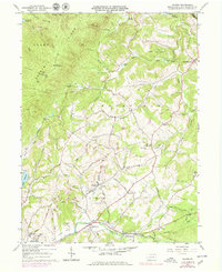
Editions of this 1964 Wilpen Map
4 editions found
Other maps of this area

1900 · Latrobe
USGS Topo · 1:62,500

1902 · Latrobe
USGS Topo · 1:62,500

1903 · Latrobe
USGS Topo · 1:62,500

1913 · Somerset
USGS Topo · 1:62,500

1915 · Somerset
USGS Topo · 1:62,500

1920 · New Florence
USGS Topo · 1:62,500

1921 · New Florence
USGS Topo · 1:48,000

1922 · Donegal
USGS Topo · 1:62,500

1922 · New Florence
USGS Topo · 1:62,500

1935 · Donegal
USGS Topo · 1:62,500
Featured Places
- Fairfield Township, PA
- Ligonier Township, PA
- Wilpen, Ligonier Township
- Waterford, Ligonier Township
- Hillsview, Ligonier Township