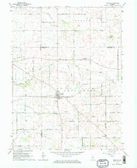
1962 Map of Wingate
USGS Topo · Published 1964About this map
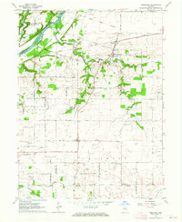
Wingate sits at the heart of this rural landscape, serving as a hub for the surrounding Coal Creek and Richland townships in the early 1960s. The town is anchored by the New York Chicago and St Louis railroad, which cuts diagonally through the terrain. The map reveals a high density of small family and community burial grounds, such as Quirk Cem, Meharry Cem, and Wheeler Grove Cem, suggesting a long-settled agricultural heritage. This region is defined by its intricate drainage network, where Shawnee Creek and Turkey Run carve through the prairie. Further south, the small settlement of Elmdale marks the transition into Wayne township, while the Coal Creek Central Sch stands as a central landmark for the local rural community during this period of mid-century growth.
Find a feature on this map
29 named features on this map. Tap any name to fly to it.
Don’t see what you’re looking for? This feature index may not catch every label — zoom into the map to look around manually.
Map Details
Editions of this 1962 Wingate Map
2 editions found
Other maps of this area

1953 · Danville
USGS Topo · 1:250,000

1955 · Danville
USGS Topo · 1:250,000

1956 · Danville
USGS Topo · 1:250,000

1956 · Crawfordsville
USGS Topo · 1:24,000

1958 · Linden
USGS Topo · 1:24,000

1961 · Romney
USGS Topo · 1:24,000
1962 · Waynetown
USGS Topo · 1:24,000
1962 · Mellott
USGS Topo · 1:24,000
1962 · Westpoint
USGS Topo · 1:24,000
1962 · Attica
USGS Topo · 1:24,000