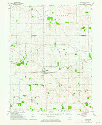
1962 Map of Wingate
USGS Topo · Published 1964About this map
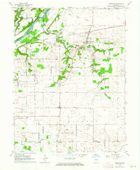
Wingate serves as the central hub of this agricultural landscape in the early 1960s, situated at the junction of the New York Chicago and St Louis RR and several regional transit routes. The area is defined by a dense network of country cemeteries, such as Pleasant Hill Cem and Meharry Cem, which provide significant points of interest for genealogical research in this part of Montgomery County. The topography is shaped by the winding paths of Coal Creek and its many tributaries, including the North Fork Coal Creek and Turkey Run. The presence of the Coal Creek Central Sch north of the village and the small settlement of Elmdale to the southeast illustrates the established rural community structure of the era. The map also captures the intricate section lines and fence rows that partitioned the fertile Indiana farmland during this period.
Find a feature on this map
44 named features on this map. Tap any name to fly to it.
Don’t see what you’re looking for? This feature index may not catch every label — zoom into the map to look around manually.
Map Details
Editions of this 1962 Wingate Map
2 editions found
Other maps of this area

1953 · Danville
USGS Topo · 1:250,000

1955 · Danville
USGS Topo · 1:250,000

1956 · Danville
USGS Topo · 1:250,000

1956 · Crawfordsville
USGS Topo · 1:24,000

1958 · Linden
USGS Topo · 1:24,000

1961 · Romney
USGS Topo · 1:24,000
1962 · Waynetown
USGS Topo · 1:24,000
1962 · Mellott
USGS Topo · 1:24,000
1962 · Westpoint
USGS Topo · 1:24,000
1962 · Attica
USGS Topo · 1:24,000