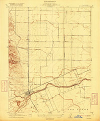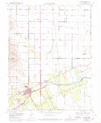
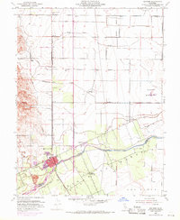
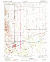
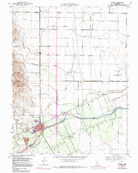
1953 Map of Winters
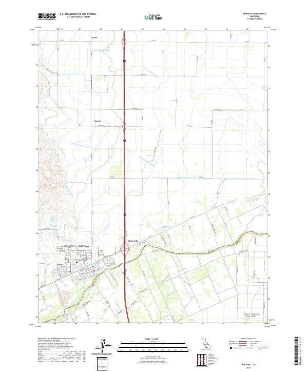
USGS Topo · Published 1980About this map
Putah Creek defines the lower corridor of this landscape, separating the agricultural plains of Yolo and Solano counties. The town of Winters sits at the heart of the map, showing its mid-century urban core alongside newer developments like El Rio Villa and a designated Trailer Park. The transportation infrastructure is anchored by the Southern Pacific railroad line running north-south through the valley floor, connecting the smaller sidings or settlements of Arroz and Norton. Institutional landmarks such as the Union School and Wolfskill School reflect the distributed rural community of the era. The presence of numerous Windmills, scattered Gas Wells, and the Military Reservation to the east highlights a mix of traditional ranching and evolving industrial and defense footprints in the Sacramento Valley.
Find a feature on this map
27 named features on this map. Tap any name to fly to it.
Don’t see what you’re looking for? This feature index may not catch every label — zoom into the map to look around manually.
Map Details
Editions of this 1953 Winters Map
6 editions found
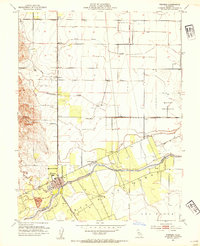
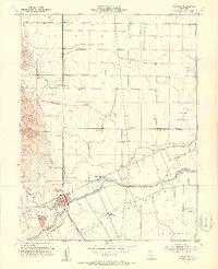
Historical Maps of Winters Through Time
6 maps found