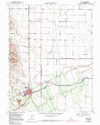
1953 Map of Winters
USGS Topo · Published 1991About this map
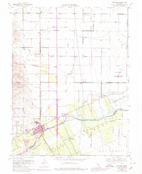
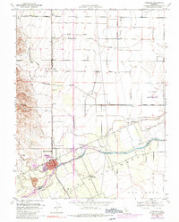
Putah Creek defines the southern reach of this Yolo County landscape, flowing past the growing town of Winters as it appeared in the mid-20th century. The land here is meticulously partitioned into agricultural blocks, supported by an irrigation network including the Central Canal and Willow Canal. Rural life is anchored by landmarks like the Wolfskill School and Union School, alongside small rail-side settlements such as Arroz and Norton. The geography transitions from the flat valley floor, marked by drainage features like Chickahominy Slough and Dry Slough, toward the rising terrain of the southwest near Pleasants Valley Rd. This 1953 survey, updated with 1968 aerial revisions, captures the early suburban expansion of El Rio Villa and the established town grid of Winters, providing a clear record of the region's agricultural and civil infrastructure before late-century development.
Find a feature on this map
19 named features on this map. Tap any name to fly to it.
Don’t see what you’re looking for? This feature index may not catch every label — zoom into the map to look around manually.
Map Details
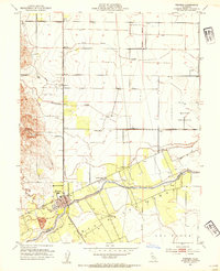
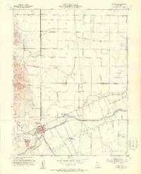
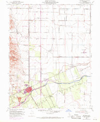
Editions of this 1953 Winters Map
6 editions found
Other maps of this area

1902 · Napa
USGS Topo · 1:125,000

1905 · Esparto
USGS Topo · 1:24,000

1907 · Woodland
USGS Topo · 1:62,500

1908 · Vacaville
USGS Topo · 1:62,500

1915 · Yolo
USGS Topo · 1:31,680

1915 · Merritt
USGS Topo · 1:31,680

1916 · Dixon
USGS Topo · 1:31,680

1916 · Jacobs Corner
USGS Topo · 1:31,680

1916 · Winters
USGS Topo · 1:31,680

1916 · Esparto
USGS Topo · 1:31,680