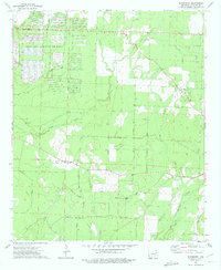
1973 Map of Woodberry
USGS Topo · Published 1975About this map
The Abandoned Ammunition Depot dominates the northwestern landscape of this 1970s survey, its massive grid of roads and bunkers standing in stark contrast to the surrounding timberlands of Calhoun County. Located just east of East Camden, this facility represents a significant military-industrial footprint in the region. The map captures a rural Arkansas economy transitioning from rail-dependent agriculture to more modern infrastructure, with the St Louis Southwestern Ry running past New Hope Ch toward the settlement of Woodberry.
Find a feature on this map
32 named features on this map. Tap any name to fly to it.
Don’t see what you’re looking for? This feature index may not catch every label — zoom into the map to look around manually.
Map Details
Editions of this 1973 Woodberry Map
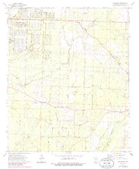
2 editions found
Other maps of this area

1903 · Camden
USGS Topo · 1:125,000

1934 · Moro Bay
USGS Topo · 1:62,500

1938 · Moro Bay
USGS Topo · 1:62,500

1939 · Moro Bay
USGS Topo · 1:62,500

1953 · El Dorado
USGS Topo · 1:250,000

1957 · El Dorado
USGS Topo · 1:250,000

1958 · El Dorado
USGS Topo · 1:250,000

1960 · El Dorado
USGS Topo · 1:250,000

1962 · Smackover NE
USGS Topo · 1:24,000

1962 · Snow Hill
USGS Topo · 1:24,000