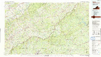
2022 Map of Woolwine
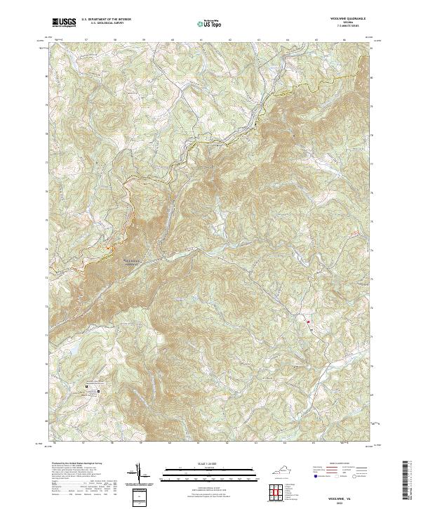
USGS Topo · Published 2022This historical map portrays the area of Woolwine in 2022, primarily covering Patrick County as well as portions of Floyd County. Featuring a scale of 1:24000, this map provides a highly detailed snapshot of the terrain, roads, buildings, counties, and historical landmarks in the Woolwine region at the time. Published in 2022, it is the sole known edition of this map.
Map Details
Editions of this 2022 Woolwine Map
This is the sole edition of this map. No revisions or reprints were ever made.
Historical Maps of Woolwine Through Time
14 maps found
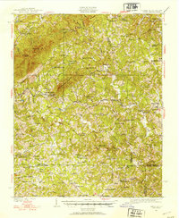
1926 Critz
Patrick County, VA
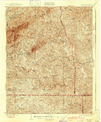
1928 Critz
Patrick County, VA
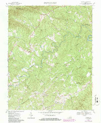
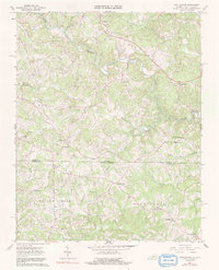
1967 Charity
Patrick County, VA
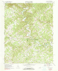
1967 Nettleridge
Patrick County, VA
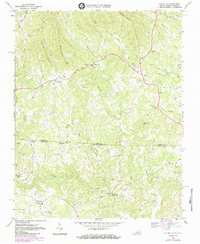
1968 Claudville
Patrick County, VA
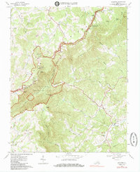
1968 Stuart SE
Patrick County, VA
1968 Woolwine
Patrick County, VA
1986 Galax
Patrick County, VA
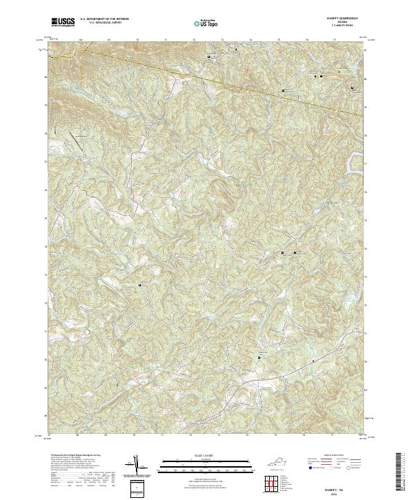
2022 Charity
Patrick County, VA
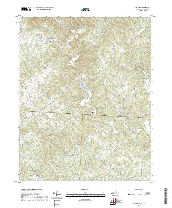
2022 Claudville
Patrick County, VA
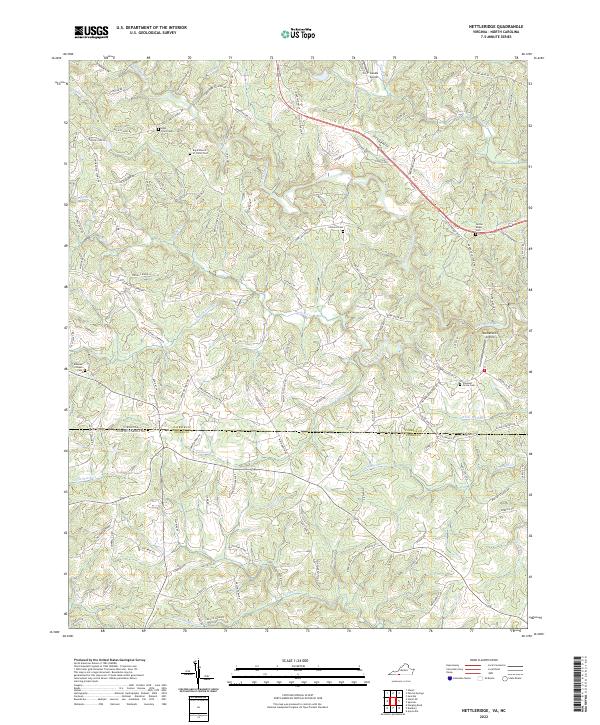
2022 Nettleridge
Patrick County, VA
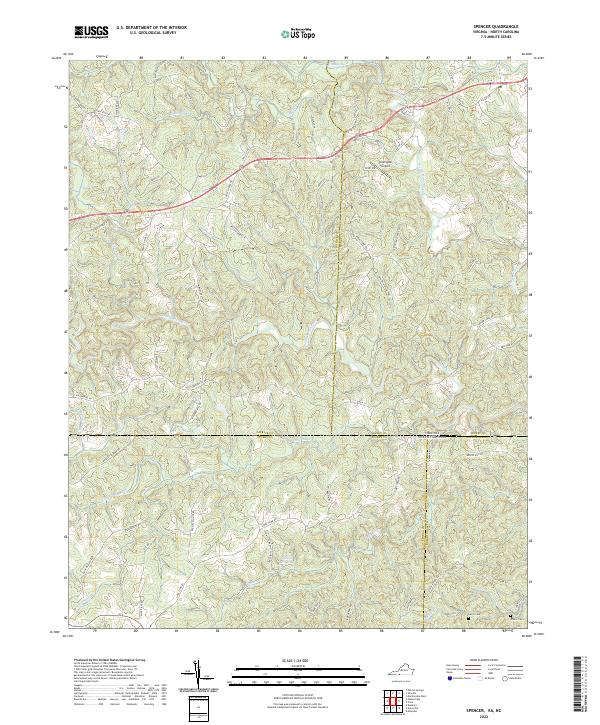
2022 Spencer
Patrick County, VA
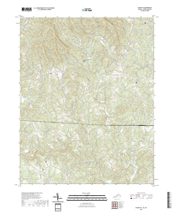
2022 Stuart SE
Patrick County, VA
2022 Woolwine
Patrick County, VA