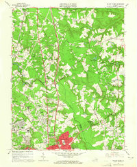
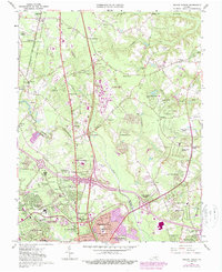
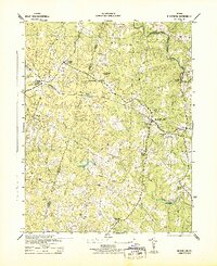
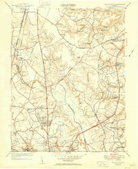
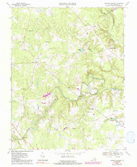
1963 Map of Yellow Tavern
USGS Topo · Published 1965This historical map portrays the area of Yellow Tavern in 1963, primarily covering Hanover County as well as portions of Henrico County. Featuring a scale of 1:24000, this map provides a highly detailed snapshot of the terrain, roads, buildings, counties, and historical landmarks in the Yellow Tavern region at the time. Published in 1965, it is one of 6 known editions of this map due to revisions or reprints.
Find a feature on this map
110 named features on this map. Tap any name to fly to it.
Don’t see what you’re looking for? This feature index may not catch every label — zoom into the map to look around manually.
Map Details
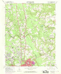
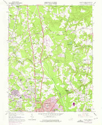
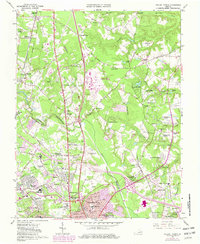
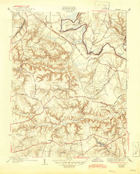
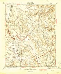
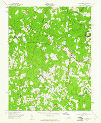
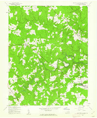
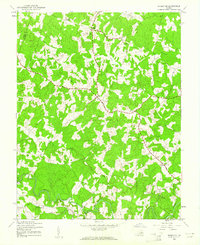
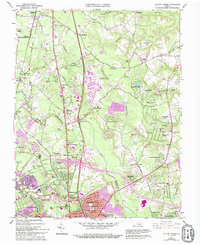
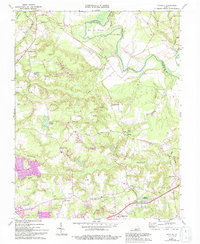
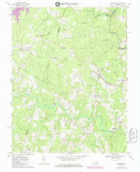
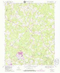
Editions of this 1963 Yellow Tavern Map
6 editions found
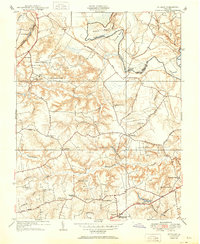
Historical Maps of Elmont Through Time
15 maps found
1938 Studley
Hanover County, VA
1938 Yellow Tavern
Hanover County, VA
1942 Beaverdam
Hanover County, VA
1943 Beaverdam
Hanover County, VA
1943 Hanover Academy
Hanover County, VA
1943 Mabelton
Hanover County, VA
1951 Studley
Hanover County, VA
1951 Yellow Tavern
Hanover County, VA
1963 Yellow Tavern
Hanover County, VA
1964 Studley
Hanover County, VA
1969 Beaverdam
Hanover County, VA
1969 Hanover Academy
Hanover County, VA
1969 Montpelier
Hanover County, VA

1974 Studley
Hanover County, VA
1974 Yellow Tavern
Hanover County, VA