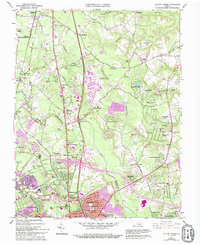
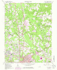
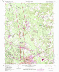
1963 Map of Yellow Tavern
USGS Topo · Published 1994About this map
The JEB Stuart Monument and the Henry Clay Birthplace anchor the historical landscape of this region north of Richmond, where the rural past of Hanover County meets suburban expansion. The 1963 survey captures a transition period, showing established settlements like Yellow Tavern and Ashland alongside the growing residential developments of Chamberlayne Farms and Woodman Terrace. The Richmond Fredericksburg and Potomac RR and Telegraph Road represent long-standing transit corridors that parallel the modern interstate system.
Find a feature on this map
101 named features on this map. Tap any name to fly to it.
Don’t see what you’re looking for? This feature index may not catch every label — zoom into the map to look around manually.
Map Details
Editions of this 1963 Yellow Tavern Map
6 editions found
Other maps of this area

1890 · Goochland
USGS Topo · 1:125,000

1892 · Goochland
USGS Topo · 1:125,000

1894 · Richmond
USGS Topo · 1:62,500

1895 · Richmond
USGS Topo · 1:62,500

1918 · Doswell
USGS Topo · 1:62,500

1934 · Seven Pines
USGS Topo · 1:24,000

1934 · Richmond
USGS Topo · 1:24,000

1936 · Richmond West
USGS Topo · 1:24,000

1936 · Glen Allen
USGS Topo · 1:24,000

1938 · Seven Pines
USGS Topo · 1:31,680