2020s Maps of Arizona
Explore 2,235 historic maps of Arizona from the 2020s. These maps offer a rare glimpse into what life looked like during the 2020s — showing old roads, neighborhoods, homes, and landmarks that have changed or disappeared over time.
Whether you're researching your family's past, planning a metal detecting trip, or studying how Arizona's landscape evolved across the 2020s, these high-resolution maps are a powerful tool for exploring the history of this region.
- Focus on a specific era: All maps on this page are from the 2020s, giving you a focused view of this time period.
- See what’s changed: Compare century-old streets, trails, and buildings to today's modern landscape using overlays and satellite layers.
- Research with precision: Use these maps for genealogy, historical research, land use analysis, or educational projects.
- View, download, or print: Maps are fully viewable online in high resolution, and can be downloaded or printed for your own records.
Start exploring Arizona's history through authentic maps from the 2020s. This is your window into the past.
Arizona maps
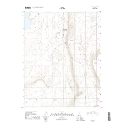
(2,235)- 2020 Map of Guadalupe Spring, 2020 Print
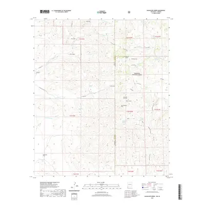 2020 Guadalupe Spring2020 Print · USGSCovers Arizona, including Cochise County, Hidalgo County, and other nearby areas
 - 2020 Map of Surrender Canyon, 2020 Print
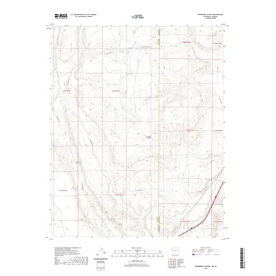 2020 Surrender Canyon2020 Print · USGSCovers Arizona, including Fort Defiance Agency, Eastern Navajo Agency, and other nearby areas
 - 2020 Map of Skull Canyon, 2020 Print
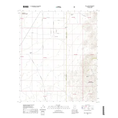 2020 Skull Canyon2020 Print · USGSCovers Arizona, including Cochise County, Hidalgo County, and other nearby areas
 - 2020 Map of Beclabito, 2020 Print
 2020 Beclabito2020 Print · USGSCovers Arizona, including Shiprock Agency, Beclabito, and other nearby areas
 - 2020 Map of Skeleton Canyon, 2020 Print
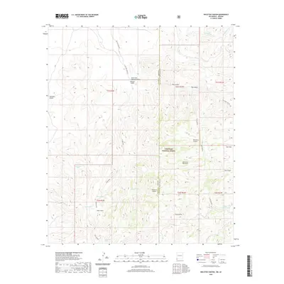 2020 Skeleton Canyon2020 Print · USGSCovers Arizona, including Cochise County, Hidalgo County, and other nearby areas
 - 2020 Map of San Simon Cienega, 2020 Print
 2020 San Simon Cienega2020 Print · USGSCovers Arizona, including Cochise County, Hidalgo County, and other nearby areas
 - 2020 Map of Harden Cienega, 2020 Print
 2020 Harden Cienega2020 Print · USGSCovers Arizona, including Harden Cienega, Grant County, and other nearby areas
 - 2020 Map of Rodeo, 2020 Print
 2020 Rodeo2020 Print · USGSCovers Arizona, including Rodeo, Cochise County, and other nearby areas
 - 2020 Map of Tillie Hall Peak, 2020 Print
 2020 Tillie Hall Peak2020 Print · USGSCovers Arizona, including Grant County, Greenlee County, and other nearby areas
 - 2020 Map of Goat Camp Spring, 2020 Print
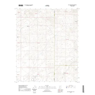 2020 Goat Camp Spring2020 Print · USGSCovers Arizona, including Duncan, Grant County, and other nearby areas
 - 2020 Map of Rainbow Bridge, 2020 Print
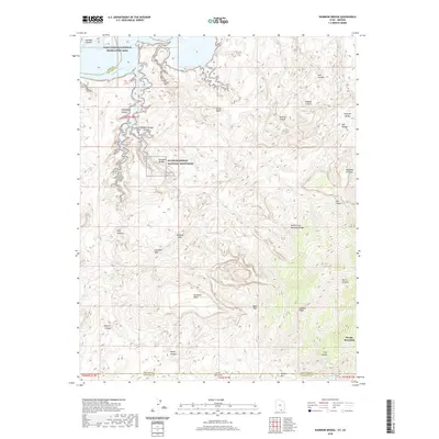 2020 Rainbow Bridge2020 Print · USGSCovers Arizona, including Coconino County, San Juan County, and other nearby areas
 - 2020 Map of Jacobs Monument, 2020 Print
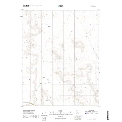 2020 Jacobs Monument2020 Print · USGSCovers Arizona, including Navajo County, San Juan County, and other nearby areas
 - 2020 Map of Deep Canyon South, 2020 Print
 2020 Deep Canyon South2020 Print · USGSCovers Arizona, including Navajo County, San Juan County, and other nearby areas
 - 2020 Map of No Mans Mesa South, 2020 Print
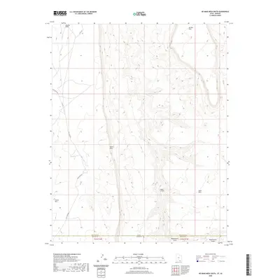 2020 No Mans Mesa South2020 Print · USGSCovers Arizona, including Navajo County, San Juan County, and other nearby areas
 - 2020 Map of Navajo Begay, 2020 Print
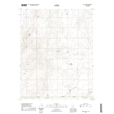 2020 Navajo Begay2020 Print · USGSCovers Arizona, including Navajo Mountain, Navajo Mountain, and other nearby areas
 - 2020 Map of Little Creek Mountain, 2020 Print
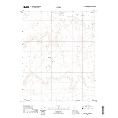 2020 Little Creek Mountain2020 Print · USGSCovers Arizona, including Apple Valley, Mohave County, and other nearby areas
 - 2020 Map of Jarvis Peak, 2020 Print
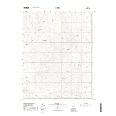 2020 Jarvis Peak2020 Print · USGSCovers Arizona, including Mohave County, Washington County, and other nearby areas
 - 2020 Map of Washington Dome, 2020 Print
 2020 Washington Dome2020 Print · USGSCovers Arizona, including St. George, Washington, and other nearby areas
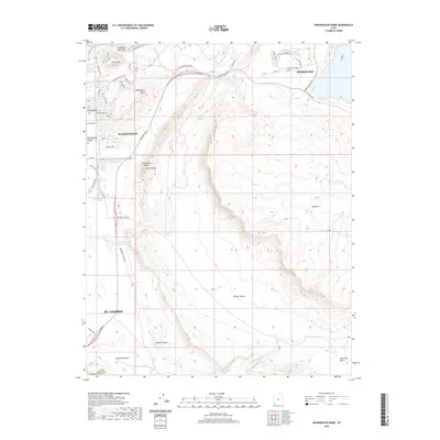
 - 2020 Map of Smithsonian Butte, 2020 Print
 2020 Smithsonian Butte2020 Print · USGSCovers Arizona, including Colorado City, Hildale, and other nearby areas
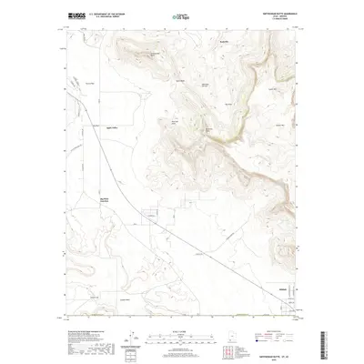
 - 2020 Map of Castle Cliff, 2020 Print
 2020 Castle Cliff2020 Print · USGSCovers Arizona, including Mohave County, Washington County, and other nearby areas
 - 2020 Map of White Hills, 2020 Print
 2020 White Hills2020 Print · USGSCovers Arizona, including St. George, Santa Clara, and other nearby areas
 - 2020 Map of The Divide, 2020 Print
 2020 The Divide2020 Print · USGSCovers Arizona, including Hurricane, Mohave County, and other nearby areas
 - 2020 Map of Gregory Butte, 2020 Print
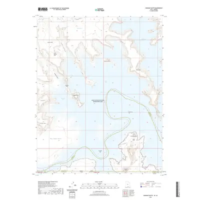
 2020 Gregory Butte2020 Print · USGSCovers Arizona, including Coconino County, San Juan County, and other nearby areas
 - 2020 Map of Cathedral Canyon, 2020 Print
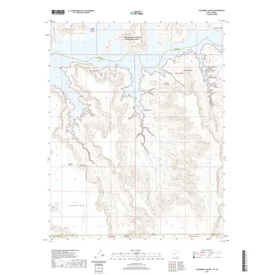 2020 Cathedral Canyon2020 Print · USGSCovers Arizona, including Coconino County, San Juan County, and other nearby areas
 - 2020 Map of Gunsight Butte, 2020 Print
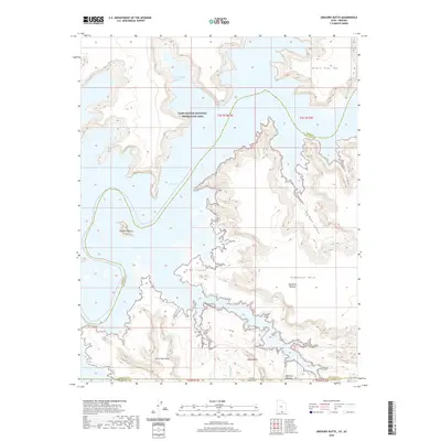
 2020 Gunsight Butte2020 Print · USGSCovers Arizona, including Coconino County, San Juan County, and other nearby areas
Showing maps 1-25 of 2,235
Top cities of Arizona
- Phoenix historical maps
- Tucson historical maps
- Mesa historical maps
- Chandler historical maps
- Glendale historical maps
- Scottsdale historical maps
See more
Top counties of Arizona
- Maricopa County historical maps
- Pima County historical maps
- Pinal County historical maps
- Yavapai County historical maps
- Mohave County historical maps
- Coconino County historical maps
See more
Frequently asked questions
- What are the different types of historical maps available for Arizona?
- What is the oldest map of Arizona?
- Where can I purchase historical maps of Arizona for my home or office?
- Where can I download high-res historical maps of Arizona?
- Are there historical topographic maps available for Arizona?
- Is there historical aerial imagery available for Arizona?
- Where are historical maps of Arizona sourced from?