2020s Maps of Graham County, Arizona
Explore 151 historic maps of Graham County from the 2020s. These maps offer a rare glimpse into what life looked like during the 2020s — showing old roads, neighborhoods, homes, and landmarks that have changed or disappeared over time.
Whether you're researching your family's past, planning a metal detecting trip, or studying how Graham County's landscape evolved across the 2020s, these high-resolution maps are a powerful tool for exploring the history of this region.
- Focus on a specific era: All maps on this page are from the 2020s, giving you a focused view of this time period.
- See what’s changed: Compare century-old streets, trails, and buildings to today's modern landscape using overlays and satellite layers.
- Research with precision: Use these maps for genealogy, historical research, land use analysis, or educational projects.
- View, download, or print: Maps are fully viewable online in high resolution, and can be downloaded or printed for your own records.
Start exploring Graham County's history through authentic maps from the 2020s. This is your window into the past.
Graham County, AZ maps
(151)- 2021 Map of Tollgate Tank, 2021 Print
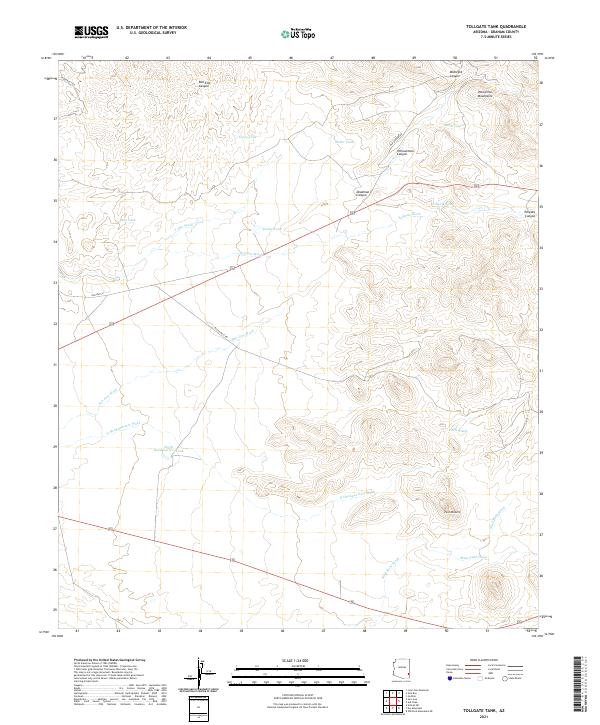 2021 Tollgate Tank2021 Print · USGSGraham County ranching and mountain terrain are mapped here in the early twenty-first century. Researchers can trace remote water-management history through named sites like Tollgate Tank, North Headquarters Tank, and Rail End Canyon.
 - 2021 Map of Sheldon, 2021 Print
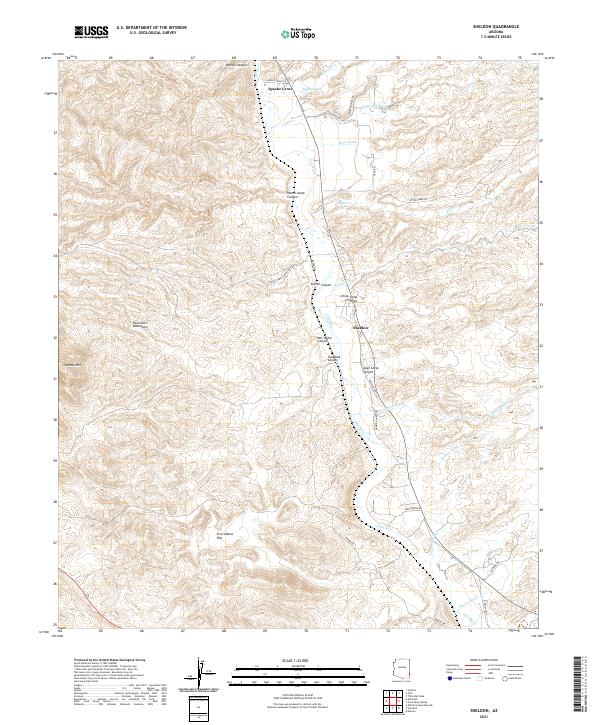 2021 Sheldon2021 Print · USGSArizona's Gila River valley remains a critical corridor for small settlements like Apache Grove and Sheldon in this modern topographic study. Researchers can trace the drainage patterns of family-named landmarks like Wes White Canyon and Harris Camp Canyon.
 - 2021 Map of Weber Peak, 2021 Print
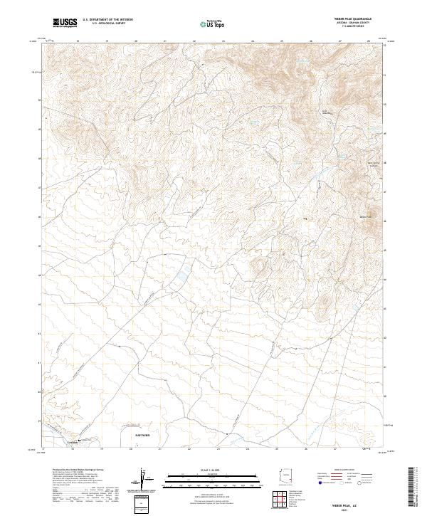 2021 Weber Peak2021 Print · USGSThe high-desert foothills of Graham County appear here in the modern era as the Gila Mountains rise toward the summit of Weber Peak. Genealogists and local historians can locate the Graham Cem and trace industrial access routes like San Juan Mine Rd or find isolated water sources such as Talley Spring.
 - 2021 Map of Martin Well, 2021 Print
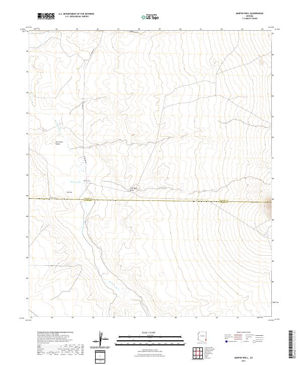 2021 Martin Well2021 Print · USGSSoutheastern Arizona at the start of the 2020s shows a landscape of ephemeral watercourses and desert basins. Researchers can trace the path of the San Simon River and locate vital landmarks like Martin Well and the outflow of Buckeye Wash.
 - 2021 Map of Tanque, 2021 Print
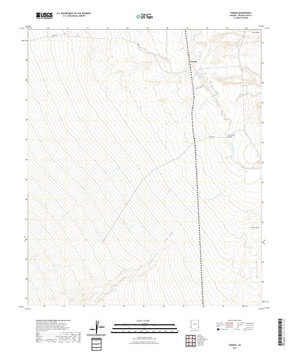 2021 Tanque2021 Print · USGSArizona's eastern desert reaches are documented here as they appeared in the early 2020s. Genealogists and historians can trace the paths of the San Simon River and local landmarks like Tanque or the winding Willow Spring Wash.
 - 2021 Map of Pima, 2021 Print
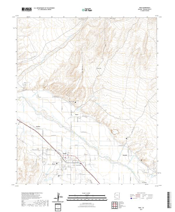 2021 Pima2021 Print · USGSThe Gila River valley in the early 2020s remains a landscape shaped by irrigation and desert hydrology. Researchers can trace rural settlement patterns and local family history through the numerous community burial sites such as Bryce Cem and Glenbar Cem.
 - 2021 Map of Artesia NE, 2021 Print
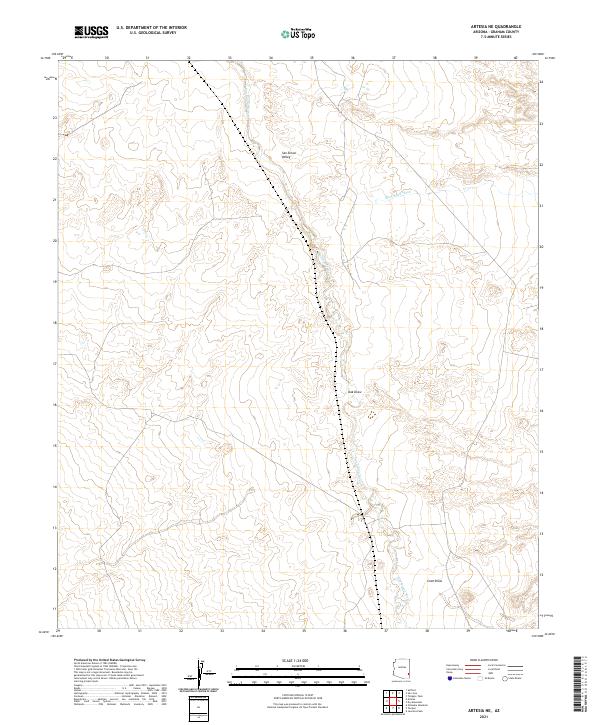 2021 Artesia NE2021 Print · USGSGraham County at the turn of the decade reveals a stark landscape of desert washes and river valleys. Researchers can trace the meandering San Simon River and locate historic land divisions near Slick Rock Wash and Oak Draw.
 - 2021 Map of Whitlock Mountains NE, 2021 Print
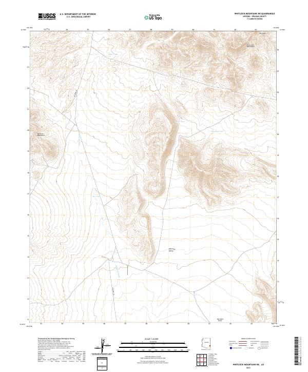 2021 Whitlock Mountains NE2021 Print · USGSGraham County’s desert ranges are surveyed here in the early 2020s, showing a land where water determines the map. Researchers can trace the drainage of Whitlock Wash and locate vital desert water points like Soapweed Tank and Bat Tank.
 - 2021 Map of Dry Mountain, 2021 Print
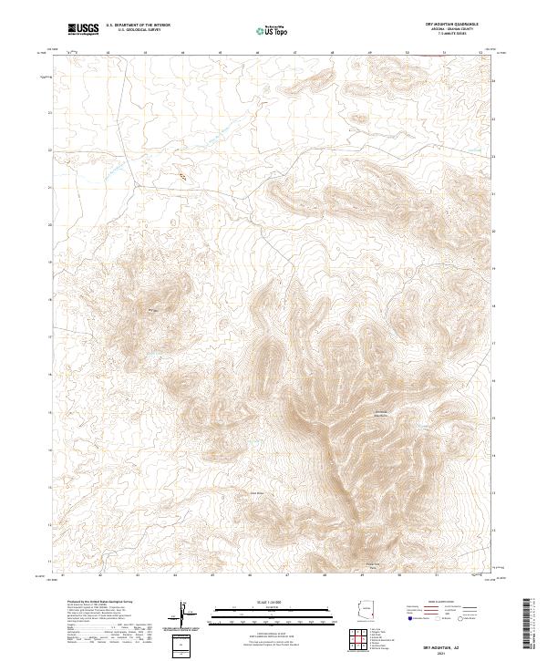 2021 Dry Mountain2021 Print · USGSGraham County’s desert terrain is mapped here in the early 2020s, showing a landscape defined by water management and high ridges. Trace the geography of the Whitlock Mountains and find local landmarks like Dry Mtn and Powerline Pass.
 - 2021 Map of Gillespie Mountain, 2021 Print
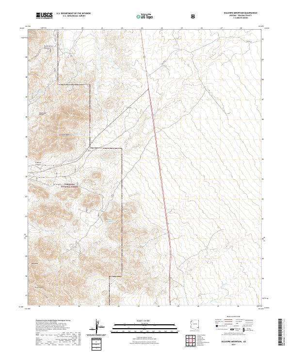 2021 Gillespie Mountain2021 Print · USGSGraham County's high-desert ranching landscape is captured here in the early twenty-first century, showing the enduring importance of local water catchments. Genealogists and historians can trace the geography of early land use through features like P Ranch Canyon, Gillespie Mtn, and Oak Canyon Tank.
 - 2021 Map of Fisher Hills, 2021 Print
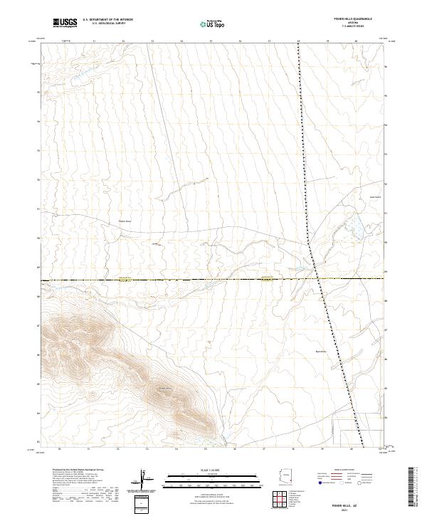 2021 Fisher Hills2021 Print · USGSCochise County and Graham County share a border across this arid desert landscape in the early twenty-first century. Researchers can trace the rugged drainage systems of Fisher Hills and identify the paths of Willow Spring Wash and Gold Gulch.
 - 2021 Map of West of Greasewood Mountain, 2021 Print
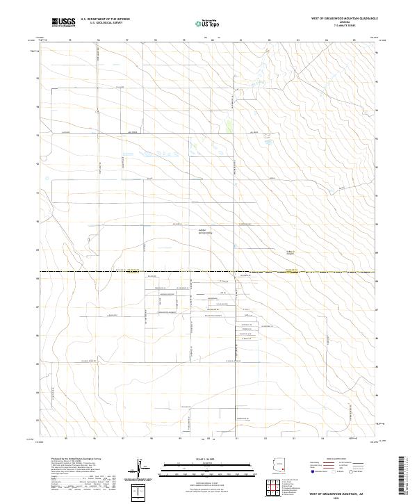 2021 West of Greasewood Mountain2021 Print · USGSArizona's high desert ranchlands are captured here in the twenty-first century as they span the boundary of Cochise and Graham counties. Genealogists and land historians can trace rural routes and family-named easements such as Fort Grant Rd, Rascon Rd, and the Winchester Easement.
 - 2021 Map of Javelina Peak, 2021 Print
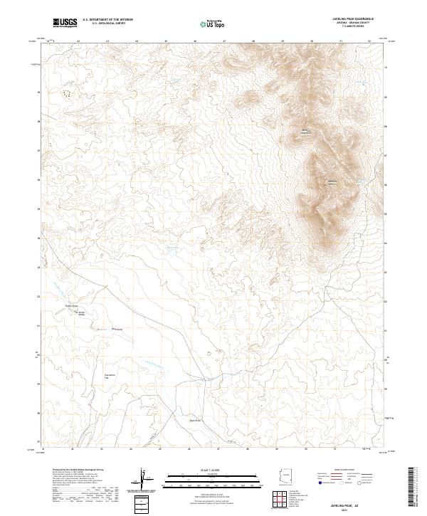 2021 Javelina Peak2021 Print · USGSThe high desert of Graham County comes into focus in this recent survey of the Whitlock Mountains and San Simon Valley. Researchers can trace land use through named water sources like Dripping Spring and grazing sites such as Starvation Flat.
 - 2021 Map of San Jose, 2021 Print
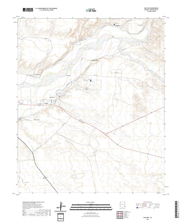 2021 San Jose2021 Print · USGSModern Graham County agriculture and valley life appear in this 2021 study of the Gila River corridor. Genealogists can locate family burial sites at San Jose Cem or Sanchez Cem and trace the old irrigation paths of the San Jose Canal.
 - 2021 Map of Eden, 2021 Print
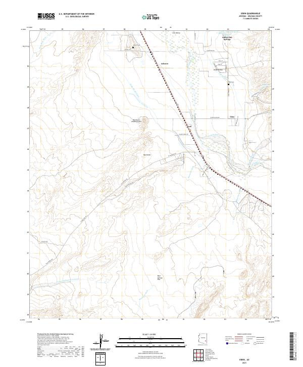 2021 Eden2021 Print · USGSThe Gila Valley comes to life in this modern survey of Graham County. Genealogists and historians can trace family ties at Ashurst Cem and Eden Cem, or explore the irrigation networks of Curtis Canal and the unique Indian Hot Springs.
 - 2021 Map of Monk Draw, 2021 Print
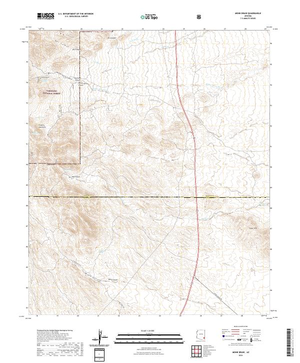 2021 Monk Draw2021 Print · USGSThe Cochise County backcountry is revealed in this modern survey of the desert valley floor. Researchers can trace remote ranching routes like N Monk Ranch Rd and locate isolated water sources such as Whisky Spring and Dial Tank.
 - 2021 Map of Thatcher, 2021 Print
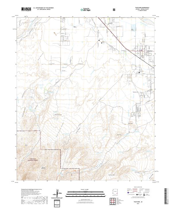 2021 Thatcher2021 Print · USGSThe Gila Valley comes into focus in this contemporary survey, capturing the agricultural heart of Graham County and the edge of the mountains. Researchers can trace the heritage of Thatcher and Central through local landmarks like Eastern Arizona College and the Old Central Cem.
 - 2021 Map of Mount Graham, 2021 Print
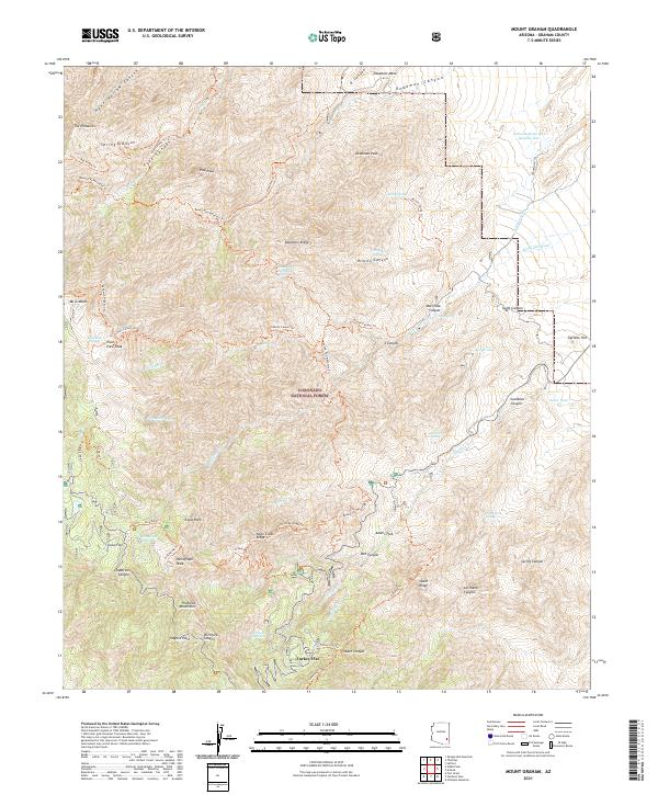 2021 Mount Graham2021 Print · USGSThe Pinaleno Mountains are shown in detail during the early 21st century, centered on high summits and forest trails. Researchers can trace historic water routes like the Lebanon Ditch and locate the mountain settlement at Turkey Flat or the fire lookout site at Heliograph Peak.
 - 2021 Map of Hot Well, 2021 Print
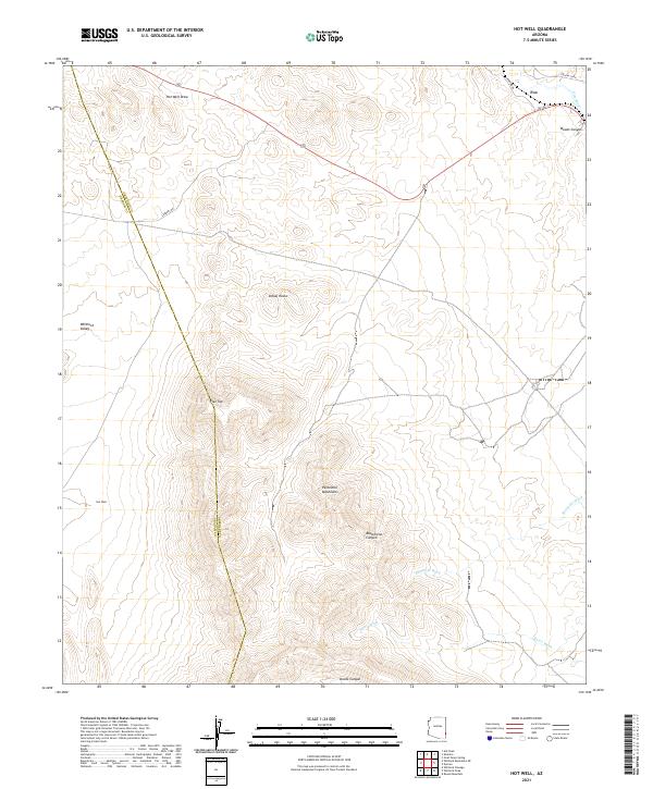 2021 Hot Well2021 Print · USGSThe high desert of southeastern Arizona in the early twenty-first century is captured here along the Graham and Greenlee county line. Researchers can trace the drainage of the Gila River and locate remote landmarks like Indian Rocks, Flat Top, and the Hot Well settlement.
 - 2021 Map of Orange Butte, 2021 Print
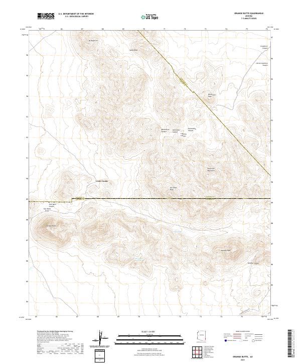 2021 Orange Butte2021 Print · USGSSoutheast Arizona’s high desert comes into focus at this tri-county intersection during the early twenty-first century. Researchers can trace remote water sources like Tule Tank and Bear Sign Tank alongside landmarks like Orange Butte and San Simon Peak.
 - 2021 Map of Artesia, 2021 Print
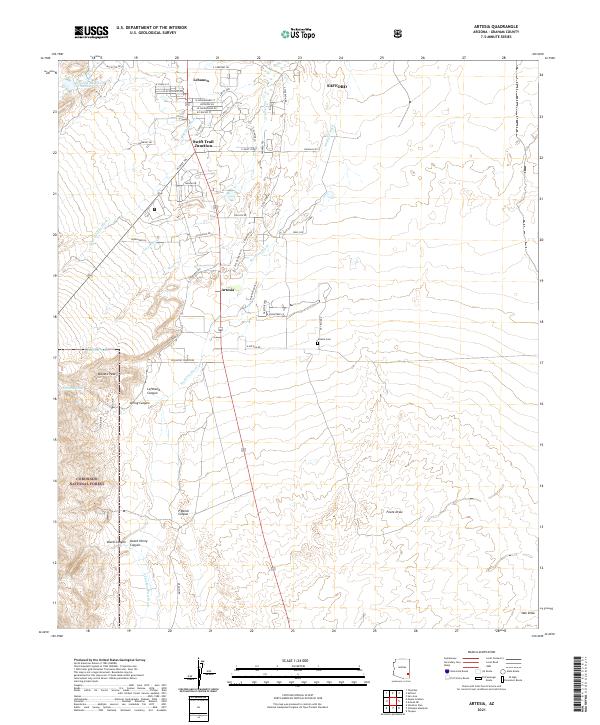 2021 Artesia2021 Print · USGSGraham County's high desert communities of Artesia and Lebanon are captured in this recent survey of the Arizona landscape. Genealogists and local historians can trace the roads around Swift Trail Junction and locate the Artesia Cemetery.
 - 2021 Map of Shingle Mill Mountain, 2021 Print
 2021 Shingle Mill Mountain2021 Print · USGSGraham County’s high desert and mountain slopes are mapped here during the early twenty-first century. Researchers can trace ranching infrastructure and remote landmarks like Flying J Ranch Airport, Shingle Mill Mtn, and Dead Steer Mesa.
 - 2021 Map of Lone Star Mountain, 2021 Print
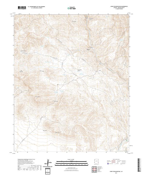 2021 Lone Star Mountain2021 Print · USGSGraham County’s desert ranges and essential water catchments are documented in this recent survey. Local historians and hunters can trace high-country routes through Solomon Pass or locate remote landmarks like Lone Star Mtn and Red Tanks Spring.
 - 2021 Map of Whitlock Cienega, 2021 Print
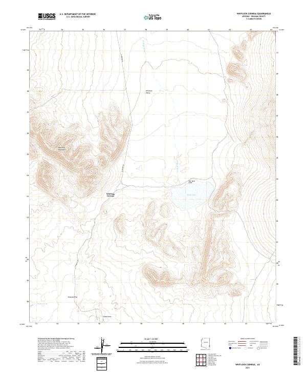 2021 Whitlock Cienega2021 Print · USGSGraham County's arid basin and range landscape is captured here in the early twenty-first century. Researchers can trace the drainage systems of Whitlock Wash and Hot Well Draw as they lead toward Parks Lake and the rare wetland of Whitlock Cienega.
 - 2021 Map of Maverick, 2021 Print
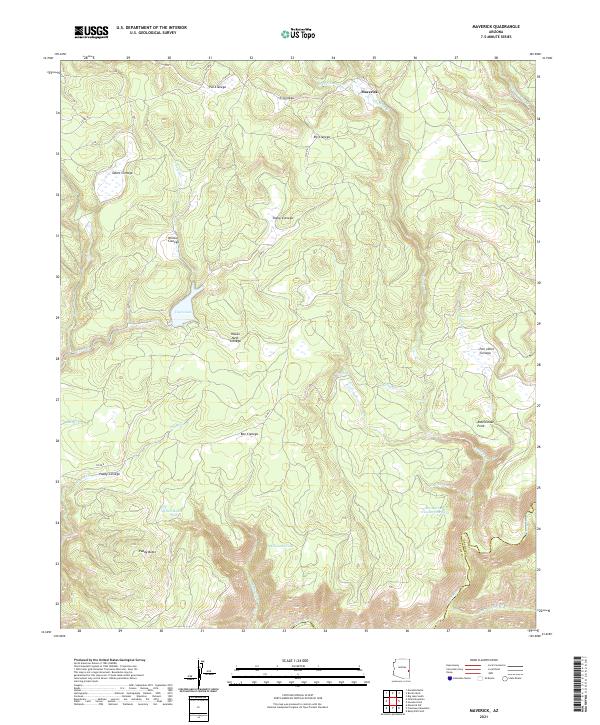 2021 Maverick2021 Print · USGSThe Maverick region of the White Mountains comes alive in this contemporary survey of its high-country wetlands and cattle tanks. Researchers can trace the drainages of Tonto Lake and the Black River, or locate remote landmarks like Paddy Butte and Pair o'Dice Cienega.
Showing maps 1-25 of 151
Top cities of Graham County
- Safford historical maps
- Thatcher historical maps
- Pima historical maps
- Swift Trail Junction historical maps
- Bylas historical maps
- Cactus Flat historical maps
See more
Frequently asked questions
- What are the different types of historical maps available for Graham County?
- What is the oldest map of Graham County?
- Where can I purchase historical maps of Graham County for my home or office?
- Where can I download high-res historical maps of Graham County?
- Are there historical topographic maps available for Graham County?
- Is there historical aerial imagery available for Graham County?
- Where are historical maps of Graham County sourced from?