2000s (21st Century) Maps of Ashley County, Arkansas
Explore 130 historic maps of Ashley County from the 2000s (21st Century). These maps offer a rare glimpse into what life looked like during the 2000s — showing old roads, neighborhoods, homes, and landmarks that have changed or disappeared over time.
Whether you're researching your family's past, planning a metal detecting trip, or studying how Ashley County's landscape evolved across the 2000s, these high-resolution maps are a powerful tool for exploring the history of this region.
- Focus on a specific era: All maps on this page are from the 2000s, giving you a focused view of this time period.
- See what’s changed: Compare century-old streets, trails, and buildings to today's modern landscape using overlays and satellite layers.
- Research with precision: Use these maps for genealogy, historical research, land use analysis, or educational projects.
- View, download, or print: Maps are fully viewable online in high resolution, and can be downloaded or printed for your own records.
Start exploring Ashley County's history through authentic maps from the 2000s. This is your window into the past.
Ashley County, AR maps
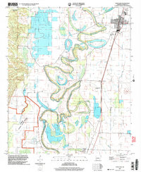
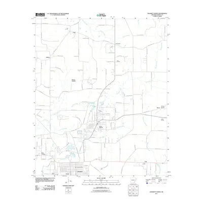
(130)- 2002 Map of Wilmot, 2003 Print
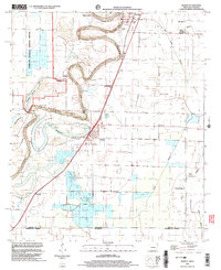 2002 Wilmot2003 Print · USGSThe Arkansas-Louisiana borderlands come into focus in this early 2000s survey of the delta region. Local historians can trace the community life of Wilmot and Parkdale through landmarks like Savage High Sch, Wilmot Cem, and Union Ch.
 - 2002 Map of Crossett South, 2003 Print
 2002 Crossett South2003 Print · USGSCrossing the state line into Louisiana at the turn of the millennium, this survey captures the industrial edge of the timber country and the quiet crossroads of the borderlands. Researchers can trace the Old Railroad Grade or locate family roots at Western Cem and the Norman Sch site.
 - 2002 Map of Berlin, 2003 Print
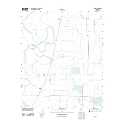
 2002 Berlin2003 Print · USGSThe Arkansas-Louisiana state line south of Ashley County is captured here at the turn of the millennium. Genealogists and historians can trace rural communities like Berlin and Gulledge, or locate family-named landmarks such as Mapleville Ch and Rawls.
 - 2002 Map of Wilmot SW, 2003 Print
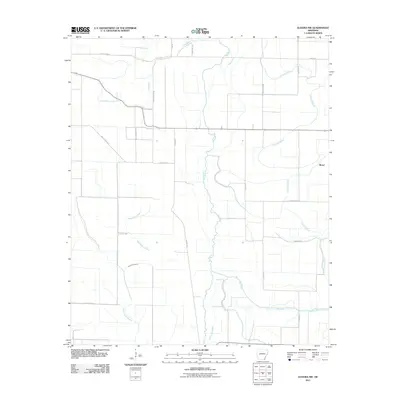
 2002 Wilmot SW2003 Print · USGSThe Arkansas-Louisiana borderlands come alive in this turn-of-the-millennium survey of the wetlands surrounding Overflow National Wildlife Refuge. Researchers can trace rural lineages at Harris Cem and Bethel Cem or follow the winding Bayou Bartholomew.
 - 2002 Map of Portland, 2004 Print
 2002 Portland2004 Print · USGSSoutheast Arkansas at the turn of the millennium remains a land of winding bayous and quiet delta settlements. Researchers can trace the layout of Portland or locate rural sites like Tillis High Sch, St Marion Ch, and Holly Grove Cem.
 - 2011 Map of Vick, 2011 Print
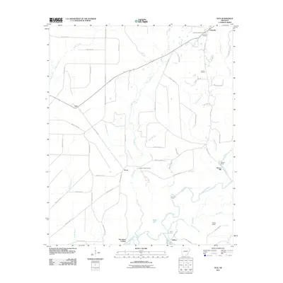 2011 Vick2011 Print · USGSCovers Ashley County, including Johnsville, Broad, and other nearby areas
 - 2011 Map of Marais Saline, 2011 Print
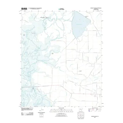 2011 Marais Saline2011 Print · USGSCovers Ashley County, including Blanchton, Godfrey Landing, and other nearby areas
 - 2011 Map of New Union, 2011 Print
 2011 New Union2011 Print · USGSCovers Ashley County, including New Union, Union County, and other nearby areas
 - 2011 Map of Felsenthal Dam, 2011 Print
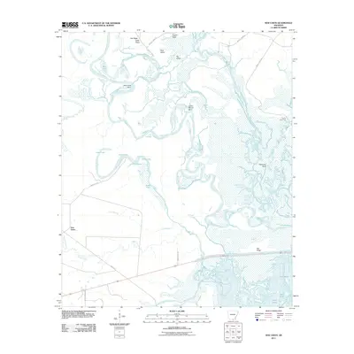
 2011 Felsenthal Dam2011 Print · USGSCovers Ashley County, including Venice, Sulphur Springs, and other nearby areas
 - 2011 Map of Huttig, 2011 Print
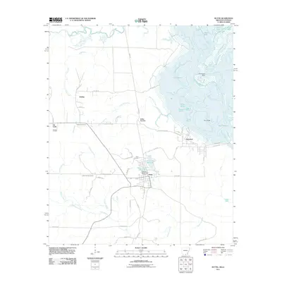 2011 Huttig2011 Print · USGSCovers Ashley County, including Huttig, Felsenthal, and other nearby areas
 - 2011 Map of Wilmot, 2011 Print
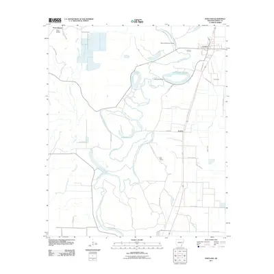
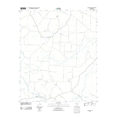
 2011 Wilmot2011 Print · USGSCovers Ashley County, including Wilmot, Parkdale, and other nearby areas
 - 2011 Map of Portland, 2011 Print
 2011 Portland2011 Print · USGSCovers Ashley County, including Portland, Parkdale, and other nearby areas
 - 2011 Map of Longview, 2011 Print
 2011 Longview2011 Print · USGSCovers Ashley County, including Longview, Drew County, and other nearby areas
 - 2011 Map of Fountain Hill, 2011 Print
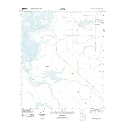
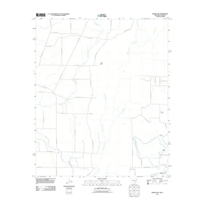
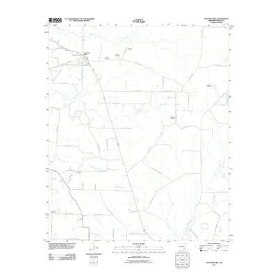 2011 Fountain Hill2011 Print · USGSCovers Ashley County, including Fountain Hill, Roark, and other nearby areas
 - 2011 Map of Mist, 2011 Print
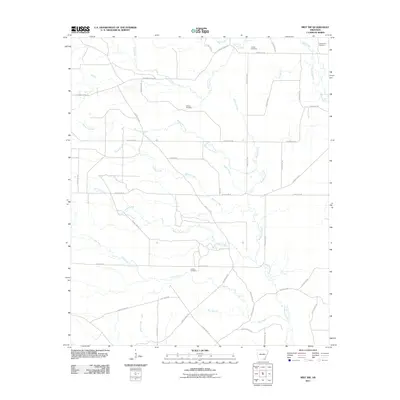
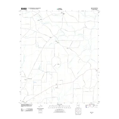 2011 Mist2011 Print · USGSCovers Ashley County, including Mist, Promised Land, and other nearby areas
 - 2011 Map of Hamburg, 2011 Print
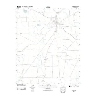 2011 Hamburg2011 Print · USGSCovers Ashley County, including Hamburg, Martinville, and other nearby areas
 - 2011 Map of Crossett North, 2011 Print
 2011 Crossett North2011 Print · USGSCovers Ashley County, including Crossett, North Crossett, and other nearby areas
 - 2011 Map of Eudora NW, 2011 Print
 2011 Eudora NW2011 Print · USGSCovers Ashley County, including Portland, Boeuf, and other nearby areas
 - 2011 Map of Snyder, 2011 Print
 2011 Snyder2011 Print · USGSCovers Ashley County, including Montrose, Donbey, and other nearby areas
 - 2011 Map of Wilmot NW, 2011 Print
 2011 Wilmot NW2011 Print · USGSCovers Ashley County, including Wallace, United States, and other nearby areas
 - 2011 Map of Mist NW, 2011 Print
 2011 Mist NW2011 Print · USGSCovers Ashley County, including Drew County, United States, and other nearby areas
 - 2011 Map of Jerome, 2011 Print
 2011 Jerome2011 Print · USGSCovers Ashley County, including Jerome, Deep Elm, and other nearby areas
 - 2011 Map of Wilmot SW, 2011 Print
 2011 Wilmot SW2011 Print · USGSCovers Ashley County, including McGinty, Morehouse Parish, and other nearby areas
 - 2011 Map of Ladelle, 2011 Print
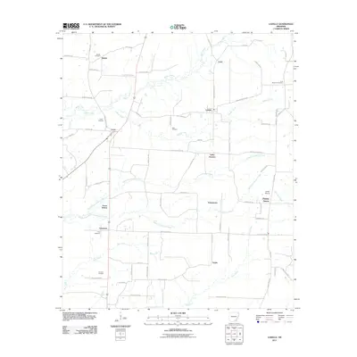 2011 Ladelle2011 Print · USGSCovers Ashley County, including Goose Hollow, Lacey, and other nearby areas
 - 2011 Map of Montrose, 2011 Print
 2011 Montrose2011 Print · USGSCovers Ashley County, including Montrose, Cosgrove, and other nearby areas
Showing maps 1-25 of 130
Top cities of Ashley County
- Crossett historical maps
- Hamburg historical maps
- North Crossett historical maps
- Wilmot historical maps
- Portland historical maps
- Montrose historical maps
See more
Frequently asked questions
- What are the different types of historical maps available for Ashley County?
- What is the oldest map of Ashley County?
- Where can I purchase historical maps of Ashley County for my home or office?
- Where can I download high-res historical maps of Ashley County?
- Are there historical topographic maps available for Ashley County?
- Is there historical aerial imagery available for Ashley County?
- Where are historical maps of Ashley County sourced from?