2010s Maps of Ashley County, Arkansas
Explore 75 historic maps of Ashley County from the 2010s. These maps offer a rare glimpse into what life looked like during the 2010s — showing old roads, neighborhoods, homes, and landmarks that have changed or disappeared over time.
Whether you're researching your family's past, planning a metal detecting trip, or studying how Ashley County's landscape evolved across the 2010s, these high-resolution maps are a powerful tool for exploring the history of this region.
- Focus on a specific era: All maps on this page are from the 2010s, giving you a focused view of this time period.
- See what’s changed: Compare century-old streets, trails, and buildings to today's modern landscape using overlays and satellite layers.
- Research with precision: Use these maps for genealogy, historical research, land use analysis, or educational projects.
- View, download, or print: Maps are fully viewable online in high resolution, and can be downloaded or printed for your own records.
Start exploring Ashley County's history through authentic maps from the 2010s. This is your window into the past.
Ashley County, AR maps
(75)- 2011 Map of Vick, 2011 Print
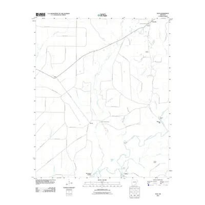 2011 Vick2011 Print · USGSThe rural riverlands of Bradley County are captured in this recent survey, centered on the winding Saline River and the small settlement of Johnsville. Researchers can locate several historic burial sites like Palestine Cemetery and trace the shoreline of Lake Georgia Pacific.
 - 2011 Map of Marais Saline, 2011 Print
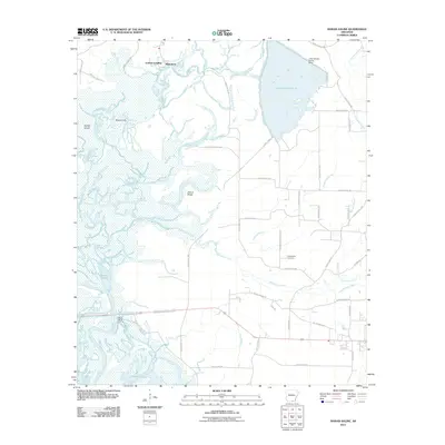 2011 Marais Saline2011 Print · USGSThe Saline River lowlands in southern Arkansas are captured here during the early twenty-first century. Researchers can trace riverside life at Godfrey Landing, locate family sites near Arkadelphia Cemetery, or explore the complex wetlands of Marais Saline.
 - 2011 Map of New Union, 2011 Print
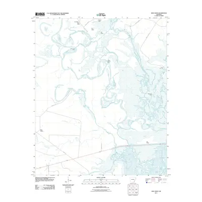 2011 New Union2011 Print · USGSUnion County, Arkansas, is captured here in the early twenty-first century at the junction of two major river systems. Researchers can trace the complex waterways and ridges of the basin, from the settlement of New Union to the oxbows of Pereogeethe Lake and Staveyard Bend.
 - 2011 Map of Felsenthal Dam, 2011 Print
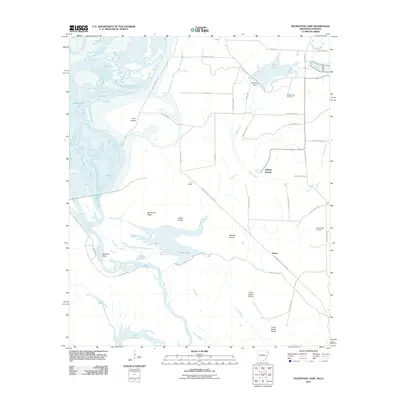 2011 Felsenthal Dam2011 Print · USGSThe southern Arkansas wetlands and the winding Ouachita River valley are captured here just after the first decade of the millennium. Researchers can trace local heritage through sites like the Macedonian Cemetery or explore the rail history found at C D Siding and the Missouri Pacific RR Tram Rd.
 - 2011 Map of Huttig, 2011 Print
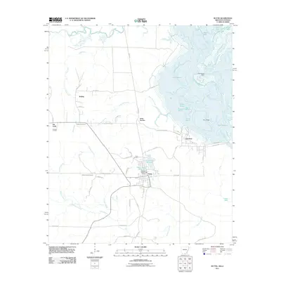 2011 Huttig2011 Print · USGSThe timber-and-water country of southern Arkansas comes into focus in this early twenty-first-century survey of the Huttig area. Researchers can trace family sites at Old Lapile Cemetery or explore the industrial footprints of Forty Acre Millpond and Felsenthal.
 - 2011 Map of Wilmot, 2011 Print
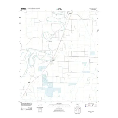 2011 Wilmot2011 Print · USGSSettled along the winding Bayou Bartholomew in the early twenty-first century, this area shows a landscape defined by delta agriculture and aquaculture. Researchers can trace family roots at Wilmot Cemetery or explore the rural roads near Lake Enterprise.
 - 2011 Map of Portland, 2011 Print
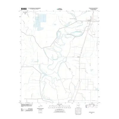 2011 Portland2011 Print · USGSSoutheast Arkansas in the early twenty-first century is defined here by the winding course of Bayou Bartholomew. Researchers can trace old settlement patterns and family histories at Saint Marion Cemetery, Sunshine, and the town of Portland.
 - 2011 Map of Longview, 2011 Print
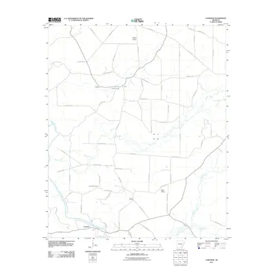 2011 Longview2011 Print · USGSSoutheast Arkansas at the start of the 2010s reveals a landscape shaped by the Saline River and a dense network of rural county roads. Researchers can locate numerous family burial grounds including Mount Peter, Ozment Cemetery, and Sixteenth Section Cemetery.
 - 2011 Map of Fountain Hill, 2011 Print
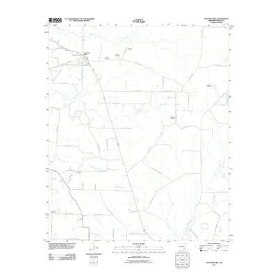 2011 Fountain Hill2011 Print · USGSAshley County during the early twenty-first century reveals a rural landscape of timber and scattered settlements. Genealogists can trace family heritage through numerous sites including Kirkpatrick Cemetery, Judson Cemetery, and the community of Roark.
 - 2011 Map of Mist, 2011 Print
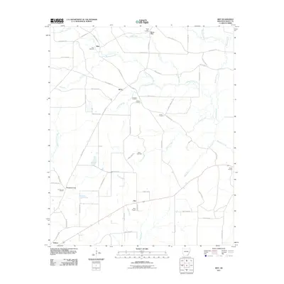 2011 Mist2011 Print · USGSMist and the surrounding Ashley County countryside appear here in the early 21st century, showing a landscape defined by timber, agriculture, and rural kinship. Researchers can trace family roots through numerous sites like Promise Land Cemetery, Pine Prairie, and Mount Olive.
 - 2011 Map of Hamburg, 2011 Print
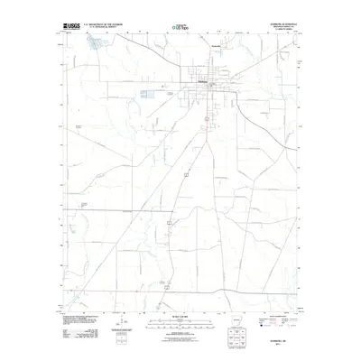 2011 Hamburg2011 Print · USGSThe Ashley County seat of Hamburg and nearby Martinville are captured here in the early twenty-first century. Genealogists can locate several local burial grounds, including Evergreen Cemetery, Carter Cemetery, and the historic Antioch Cemetery.
 - 2011 Map of Crossett North, 2011 Print
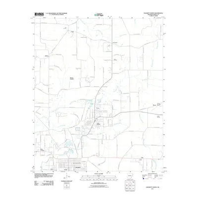 2011 Crossett North2011 Print · USGSAshley County at the start of the 2010s shows a landscape where timber-town roots meet modern development. Genealogists and local historians can trace family ties at Bethel and United Cemetery, or locate old crossroads like Whitlow Junction and Unity.
 - 2011 Map of Eudora NW, 2011 Print
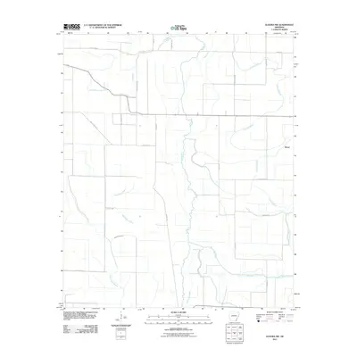 2011 Eudora NW2011 Print · USGSSoutheast Arkansas at the start of the 2010s reveals a delta landscape defined by its ancient waterways and rural road networks. Researchers can trace the winding paths of Dry Bayou and Big Bayou or locate the small settlement of Boeuf along the curves of Crooked Bayou.
 - 2011 Map of Snyder, 2011 Print
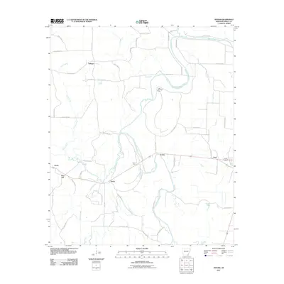 2011 Snyder2011 Print · USGSAshley County during the early twenty-first century reveals a landscape defined by the winding Bayou Bartholomew and small rail-side settlements. Researchers can trace the legacy of local transport and commerce at Snyder, Owens Spur, and Lake Grampus Dam.
 - 2011 Map of Wilmot NW, 2011 Print
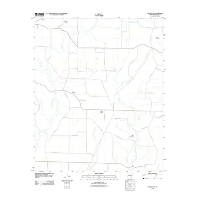 2011 Wilmot NW2011 Print · USGSAshley County remains a landscape of creek bottoms and prairies in this modern survey of the Wallace area. Genealogists can locate several local burial sites including New Texas Cemetery, Cleveland Cemetery, and Hogue Cemetery.
 - 2011 Map of Mist NW, 2011 Print
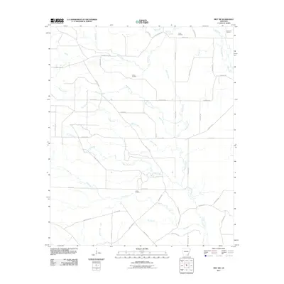 2011 Mist NW2011 Print · USGSAshley County at the start of the 2010s shows a landscape shaped by creek systems and timber history. Genealogists and local historians can trace family locations near Jordan Cemetery and Judkins Cemetery or follow the path of the Old Tram Rd.
 - 2011 Map of Jerome, 2011 Print
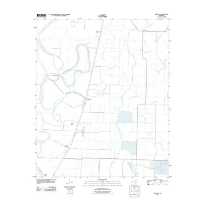 2011 Jerome2011 Print · USGSSoutheast Arkansas in the early twenty-first century reveals a landscape defined by the intricate waterways of the Delta and small crossroads communities. Researchers can trace family roots at Silver Mound Cemetery or explore the geography of Jerome and Lake Wallace.
 - 2011 Map of Wilmot SW, 2011 Print
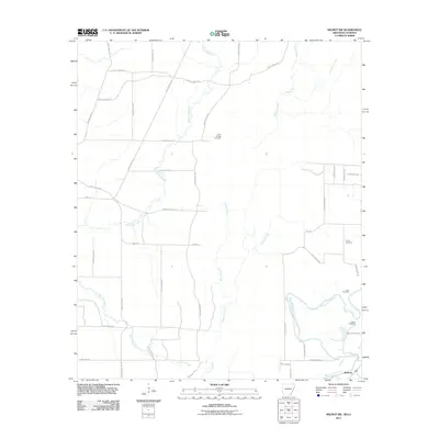 2011 Wilmot SW2011 Print · USGSThe Arkansas-Louisiana borderlands come into focus in the early 2010s, showing a rural landscape defined by slow-moving waterways and small-town roots. Genealogists can trace family landmarks and local burial grounds like Bethel Cemetery and Poley Bridge Cemetery near the banks of Bayou Bartholomew.
 - 2011 Map of Ladelle, 2011 Print
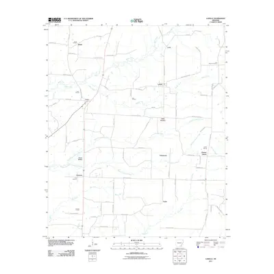 2011 Ladelle2011 Print · USGSDrew County's rural landscape is captured here in the early twenty-first century, showcasing a network of small communities and family burial sites. Genealogists can trace local heritage through Beulah Cemetery, Deal Cemetery, and settlements like Goose Hollow and Prairie Grove.
 - 2011 Map of Montrose, 2011 Print
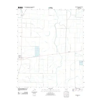 2011 Montrose2011 Print · USGSThe town of Montrose and the surrounding Ashley County delta are captured here in the early twenty-first century. Researchers can trace rural lineages through sites like Union Cemetery or follow the intricate drainage of Bayou Bartholomew and Crooked Bayou.
 - 2011 Map of Line, 2011 Print
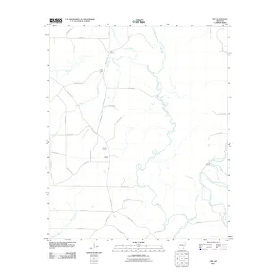 2011 Line2011 Print · USGSAshley County during the early twenty-first century reveals a landscape defined by meandering bottomlands and rural homesteads. Genealogists and local historians can pinpoint several generational burial grounds, including Old Troy Cemetery and Townsend Cemetery, situated near the waters of Cutoff Creek.
 - 2011 Map of Milo, 2011 Print
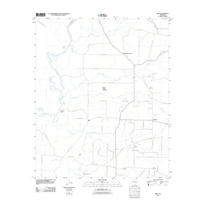 2011 Milo2011 Print · USGSSoutheast Arkansas at the turn of the decade reveals a landscape defined by the Saline River and scattered rural settlements. Researchers can trace family history through numerous burial sites like Zion Cemetery and Duckworth Cemetery or locate the old community centers of Milo and Old Milo.
 - 2011 Map of Empire, 2011 Print
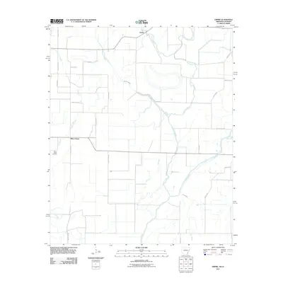 2011 Empire2011 Print · USGSThe Arkansas-Louisiana borderlands appear here in the early twenty-first century as a landscape of winding bayous and rural settlements. Researchers can locate family landmarks like Millers Chapel Cemetery or trace the complex waters of the Boeuf River and Lafourche Bayou.
 - 2011 Map of Crossett South, 2011 Print
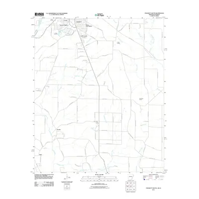 2011 Crossett South2011 Print · USGSThe southern reaches of Crossett and its surrounding timberlands are captured here at the start of the 2010s. Genealogists and historians can trace residential growth in Oakhurst Addition or locate early sites like Western Cemetery and Meridian.
 - 2011 Map of Berlin, 2011 Print
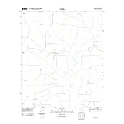 2011 Berlin2011 Print · USGSMorehouse Parish at the turn of the decade reveals a landscape defined by the winding waters of the Chemin-A-Haut Creek. Researchers can trace old family sites and rural settlements like Geddie, Berlin, and the grounds of Extra Cemetery.
Showing maps 1-25 of 75
Top cities of Ashley County
- Crossett historical maps
- Hamburg historical maps
- North Crossett historical maps
- Wilmot historical maps
- Portland historical maps
- Montrose historical maps
See more
Frequently asked questions
- What are the different types of historical maps available for Ashley County?
- What is the oldest map of Ashley County?
- Where can I purchase historical maps of Ashley County for my home or office?
- Where can I download high-res historical maps of Ashley County?
- Are there historical topographic maps available for Ashley County?
- Is there historical aerial imagery available for Ashley County?
- Where are historical maps of Ashley County sourced from?