2000s (21st Century) Maps of Marin County, California
Explore 88 historic maps of Marin County from the 2000s (21st Century). These maps offer a rare glimpse into what life looked like during the 2000s — showing old roads, neighborhoods, homes, and landmarks that have changed or disappeared over time.
Whether you're researching your family's past, planning a metal detecting trip, or studying how Marin County's landscape evolved across the 2000s, these high-resolution maps are a powerful tool for exploring the history of this region.
- Focus on a specific era: All maps on this page are from the 2000s, giving you a focused view of this time period.
- See what’s changed: Compare century-old streets, trails, and buildings to today's modern landscape using overlays and satellite layers.
- Research with precision: Use these maps for genealogy, historical research, land use analysis, or educational projects.
- View, download, or print: Maps are fully viewable online in high resolution, and can be downloaded or printed for your own records.
Start exploring Marin County's history through authentic maps from the 2000s. This is your window into the past.
Marin County, CA maps
(88)- 2012 Map of Mare Island, 2012 Print
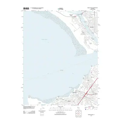 2012 Mare Island2012 Print · USGSCovers Marin County, including Vallejo, Richmond, and other nearby areas
 - 2012 Map of Petaluma, 2012 Print
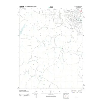 2012 Petaluma2012 Print · USGSCovers Marin County, including Petaluma, Sonoma County, and other nearby areas
 - 2012 Map of Petaluma River, 2012 Print
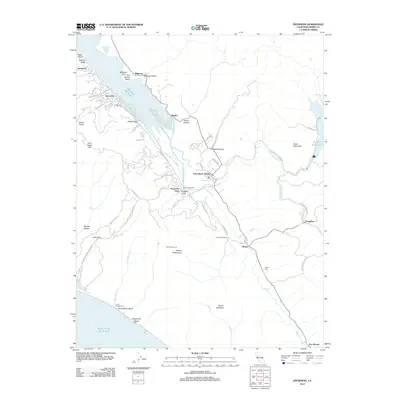
 2012 Petaluma River2012 Print · USGSCovers Marin County, including Petaluma, Novato, and other nearby areas
 - 2012 Map of Novato, 2012 Print
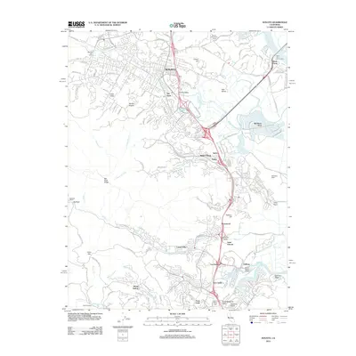 2012 Novato2012 Print · USGSCovers Marin County, including San Rafael, Novato, and other nearby areas
 - 2012 Map of Two Rock, 2012 Print
 2012 Two Rock2012 Print · USGSCovers Marin County, including Santa Rosa, Roblar, and other nearby areas
 - 2012 Map of Inverness, 2012 Print
 2012 Inverness2012 Print · USGSCovers Marin County, including Olema, Seahaven, and other nearby areas
 - 2012 Map of San Geronimo, 2012 Print
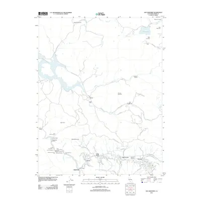 2012 San Geronimo2012 Print · USGSCovers Marin County, including Nicasio, Lagunitas, and other nearby areas
 - 2012 Map of Drakes Bay OE SW, 2012 Print
 2012 Drakes Bay OE SW2012 Print · USGSCovers Marin County, including United States, California, and other nearby areas
 - 2012 Map of Petaluma Point, 2012 Print
 2012 Petaluma Point2012 Print · USGSCovers Marin County, including Vallejo, Richmond, and other nearby areas
 - 2012 Map of Point Reyes NE, 2012 Print
 2012 Point Reyes NE2012 Print · USGSCovers Marin County, including Sonoma County, United States, and other nearby areas
 - 2012 Map of Valley Ford, 2012 Print
 2012 Valley Ford2012 Print · USGSCovers Marin County, including Dillon Beach, Valley Ford, and other nearby areas
 - 2012 Map of Drakes Bay, 2012 Print
 2012 Drakes Bay2012 Print · USGSCovers Marin County, including United States, California, and other nearby areas
 - 2012 Map of Tomales, 2012 Print
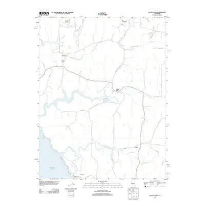
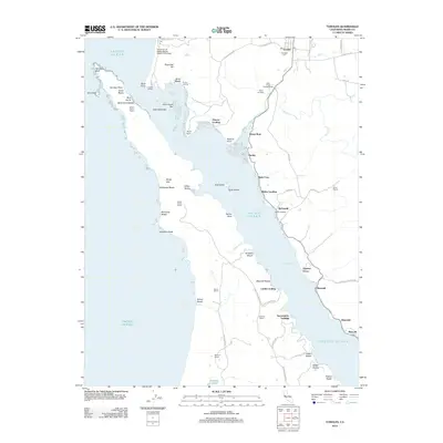 2012 Tomales2012 Print · USGSCovers Marin County, including Blakes Landing, Hamlet, and other nearby areas
 - 2012 Map of Bodega Head, 2012 Print
 2012 Bodega Head2012 Print · USGSCovers Marin County, including Carmet, Bodega Bay, and other nearby areas
 - 2012 Map of Drakes Bay OE W, 2012 Print
 2012 Drakes Bay OE W2012 Print · USGSCovers Marin County, including United States, California, and other nearby areas
 - 2012 Map of Drakes Bay OE S, 2012 Print
 2012 Drakes Bay OE S2012 Print · USGSCovers Marin County, including United States, California, and other nearby areas
 - 2012 Map of Double Point, 2012 Print
 2012 Double Point2012 Print · USGSCovers Marin County, including United States, California, and other nearby areas
 - 2012 Map of San Rafael, 2012 Print
 2012 San Rafael2012 Print · USGSCovers Marin County, including San Rafael, Mill Valley, and other nearby areas
 - 2012 Map of Bolinas, 2012 Print
 2012 Bolinas2012 Print · USGSCovers Marin County, including Stinson Beach, Bolinas, and other nearby areas
 - 2012 Map of Point Bonita, 2012 Print
 2012 Point Bonita2012 Print · USGSCovers Marin County, including San Francisco, Sausalito, and other nearby areas
 - 2012 Map of San Quentin, 2012 Print
 2012 San Quentin2012 Print · USGSCovers Marin County, including San Francisco, Richmond, and other nearby areas
 - 2012 Map of San Francisco North, 2012 Print
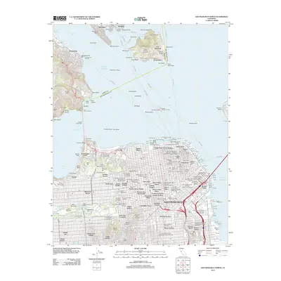 2012 San Francisco North2012 Print · USGSCovers Marin County, including San Francisco, Tiburon, and other nearby areas
 - 2015 Map of Point Bonita, 2015 Print
 2015 Point Bonita2015 Print · USGSCovers Marin County, including San Francisco, Sausalito, and other nearby areas
 - 2015 Map of Drakes Bay OE W, 2015 Print
 2015 Drakes Bay OE W2015 Print · USGSCovers Marin County, including United States, California, and other nearby areas
 - 2015 Map of San Rafael, 2015 Print
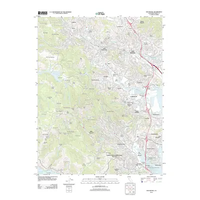
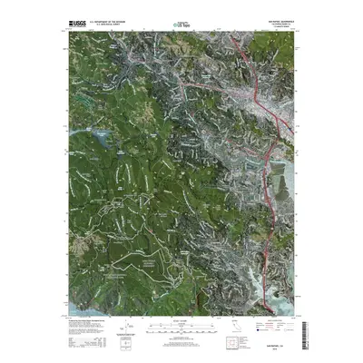 2015 San Rafael2015 Print · USGSCovers Marin County, including San Rafael, Mill Valley, and other nearby areas
Showing maps 1-25 of 88
Top cities of Marin County
- San Rafael historical maps
- Novato historical maps
- Mill Valley historical maps
- San Anselmo historical maps
- Larkspur historical maps
- Corte Madera historical maps
See more
Frequently asked questions
- What are the different types of historical maps available for Marin County?
- What is the oldest map of Marin County?
- Where can I purchase historical maps of Marin County for my home or office?
- Where can I download high-res historical maps of Marin County?
- Are there historical topographic maps available for Marin County?
- Is there historical aerial imagery available for Marin County?
- Where are historical maps of Marin County sourced from?