2010s Maps of Marin County, California
Explore 66 historic maps of Marin County from the 2010s. These maps offer a rare glimpse into what life looked like during the 2010s — showing old roads, neighborhoods, homes, and landmarks that have changed or disappeared over time.
Whether you're researching your family's past, planning a metal detecting trip, or studying how Marin County's landscape evolved across the 2010s, these high-resolution maps are a powerful tool for exploring the history of this region.
- Focus on a specific era: All maps on this page are from the 2010s, giving you a focused view of this time period.
- See what’s changed: Compare century-old streets, trails, and buildings to today's modern landscape using overlays and satellite layers.
- Research with precision: Use these maps for genealogy, historical research, land use analysis, or educational projects.
- View, download, or print: Maps are fully viewable online in high resolution, and can be downloaded or printed for your own records.
Start exploring Marin County's history through authentic maps from the 2010s. This is your window into the past.
Marin County, CA maps
(66)- 2012 Map of Mare Island, 2012 Print
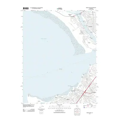 2012 Mare Island2012 Print · USGSThe maritime and industrial corridors of San Pablo Bay are captured here during a period of modern urban growth. Researchers can trace the development of Vallejo and Hercules, locating landmarks like Old Hillside Cem and the Hercules Wharf.
 - 2012 Map of Petaluma, 2012 Print
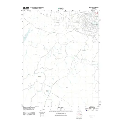 2012 Petaluma2012 Print · USGSCoastal hills and riverfront industry meet in this 2012 survey of southern Sonoma County. Genealogists and local historians can trace family-named routes and landmarks from McNear Peninsula and B'nai Israel Cem to the high reaches of Hicks Mountain.
 - 2012 Map of Petaluma River, 2012 Print
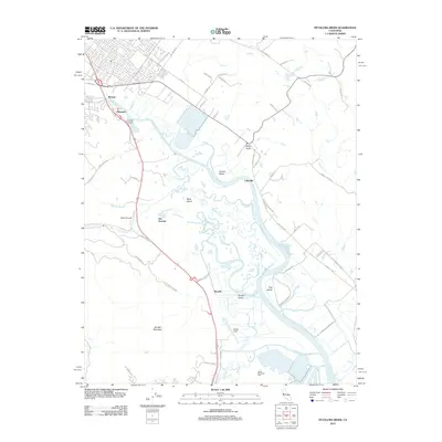 2012 Petaluma River2012 Print · USGSThe tidal marshes and ranch lands of the Petaluma River valley come into sharp focus in the early 2010s. Local researchers can trace historic landing sites like Haystack Landing, aviation hubs at Gnoss Field, and the winding reaches of Schultz Slough.
 - 2012 Map of Novato, 2012 Print
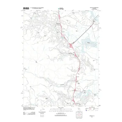 2012 Novato2012 Print · USGSMarin County's North Bay landscape is captured here in the early twenty-first century, showing the evolved suburban corridor between the hills and the bay. Researchers can trace the layout of Old Town, the expansive Hamilton Field, and local landmarks like Mount Olivet Cem.
 - 2012 Map of Two Rock, 2012 Print
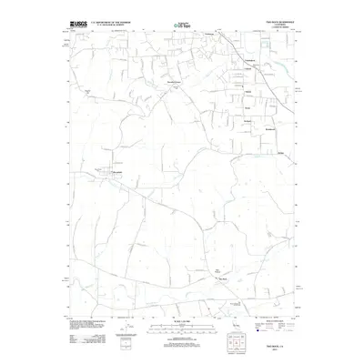 2012 Two Rock2012 Print · USGSCoastal Sonoma County remains a landscape of small agricultural settlements and winding creeks in the early 2010s. Researchers can trace family history at the Two Rock Presbyterian Church Cem or locate historic hubs like Bloomfield and Hessel.
 - 2012 Map of Inverness, 2012 Print
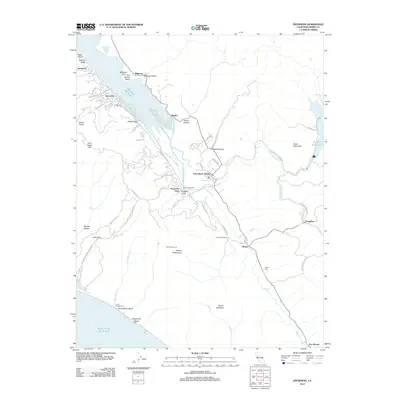 2012 Inverness2012 Print · USGSMarin County's coastal ridges and valleys are meticulously detailed in the early 21st century, showing the interface of national parkland and small settlements. Trace family roots and local landmarks from Olema Cem to the homes in Inverness and the rural outposts of Five Brooks.
 - 2012 Map of San Geronimo, 2012 Print
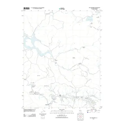 2012 San Geronimo2012 Print · USGSThe San Geronimo Valley and Nicasio highlands are shown here in the early twenty-first century, just as the region's ranching roots met modern preservation. Researchers can trace historic settlements from Woodacre to Lagunitas and locate landmarks like Shafter Bridge or Stafford Lake.
 - 2012 Map of Drakes Bay OE SW, 2012 Print
 2012 Drakes Bay OE SW2012 Print · USGSMarin County's westernmost edge meets the sea in this early twenty-first-century survey. Trace the narrow path of Point Reyes Lighthouse Rd to its terminus at the Point Reyes Lighthouse and look out over Sea Lion Cove.
 - 2012 Map of Petaluma Point, 2012 Print
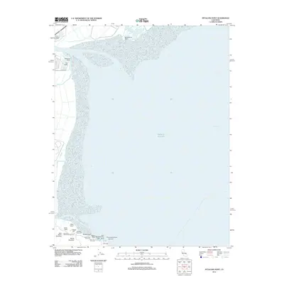 2012 Petaluma Point2012 Print · USGSSan Pablo Bay and the Sonoma shoreline come into focus in the early 2010s. Researchers can trace the coastal marshes around Port Sonoma Marina or explore the landmarks of China Camp and Miwok Meadows.
 - 2012 Map of Point Reyes NE, 2012 Print
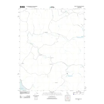 2012 Point Reyes NE2012 Print · USGSCoastal Sonoma County's ranching and water resources are documented here in the early twenty-first century. Researchers can trace land use through Walker Creek Ranch, locate the Soulajule Reservoir, and follow the path of Chileno Cr.
 - 2012 Map of Valley Ford, 2012 Print
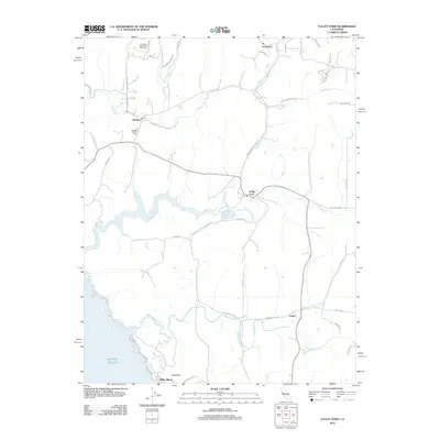 2012 Valley Ford2012 Print · USGSCoastal Sonoma and Marin counties appear here as a landscape of tidal esteros and rural hamlets in the early twenty-first century. Researchers can locate family landmarks such as Bodega Calvary Cem, the Joy Woods Redwood Tree Farm, and the seaside community at Dillon Beach.
 - 2012 Map of Drakes Bay, 2012 Print
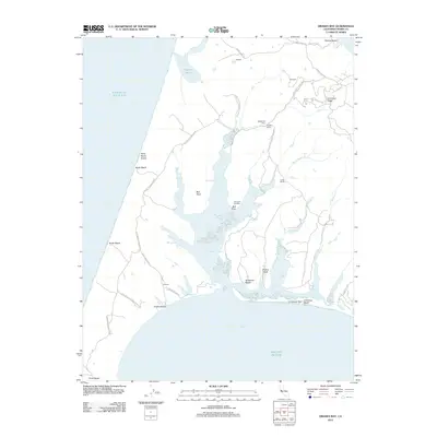 2012 Drakes Bay2012 Print · USGSCoastal Marin County rangelands and protected estuaries are meticulously detailed here in the early twenty-first century. Researchers can trace the layout of historical dairy sites like H Ranch and Home Ranch alongside landmarks like Schooner Landing.
 - 2012 Map of Tomales, 2012 Print
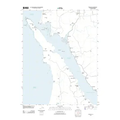 2012 Tomales2012 Print · USGSCoastal Marin County at the start of the twenty-first century reveals a shoreline defined by historic maritime landings and working ranches. Researchers can trace family legacies and rural settlements at sites like Lairds Landing, Hixon Ranch, and the Tomales Cemetery.
 - 2012 Map of Bodega Head, 2012 Print
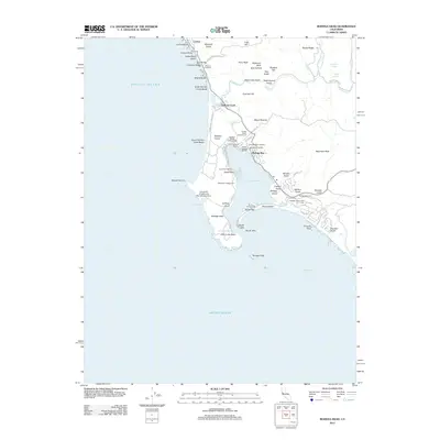 2012 Bodega Head2012 Print · USGSThe Sonoma coast at the start of the 2010s reveals a landscape defined by maritime industry and protected shorelines. Genealogists and local historians can trace the foundations of Bodega Bay, locate the Bodega Bay Cem, and explore landmarks like Duncans Landing and Spud Point.
 - 2012 Map of Drakes Bay OE W, 2012 Print
 2012 Drakes Bay OE W2012 Print · USGSThe maritime boundary of the California coast comes into focus in this early twenty-first century study. Coastal researchers can trace the precise shoreline where the Pacific Ocean meets the rocky edge of Point Reyes.
 - 2012 Map of Drakes Bay OE S, 2012 Print
 2012 Drakes Bay OE S2012 Print · USGSThe Marin County coast meets the sea in the early twenty-first century at this narrow peninsula tip. Researchers can trace the path of Sir Francis Drake Blvd as it reaches its end near Point Reyes Headlands and Chimney Rock.
 - 2012 Map of Double Point, 2012 Print
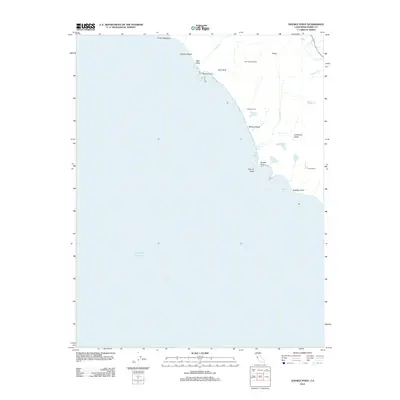 2012 Double Point2012 Print · USGSThe Marin County coast is documented here in the early twenty-first century, showing a landscape of dramatic cliffs and rare coastal lakes. You can trace the drainage of Alamere Falls and locate remote landmarks like Lake Ranch, Stormy Stack, and Wildcat Camp.
 - 2012 Map of San Rafael, 2012 Print
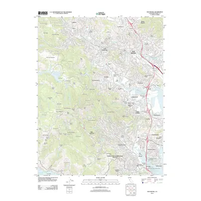 2012 San Rafael2012 Print · USGSThe slopes of Mount Tamalpais and the bayside towns of Marin County are shown here in detail during the early twenty-first century. Researchers can trace the layout of historical communities from San Rafael to Mill Valley or locate local landmarks like Mount Tamalpais Cem and Alexander Acacia Bridge.
 - 2012 Map of Bolinas, 2012 Print
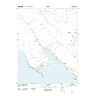 2012 Bolinas2012 Print · USGSCoastal Marin County thrives between the Pacific and the reservoirs of the interior during the early twenty-first century. Researchers can trace the residential expansion of Stinson Beach, the historical Mailliard Camp, and the ecologically significant Bolinas Lagoon.
 - 2012 Map of Point Bonita, 2012 Print
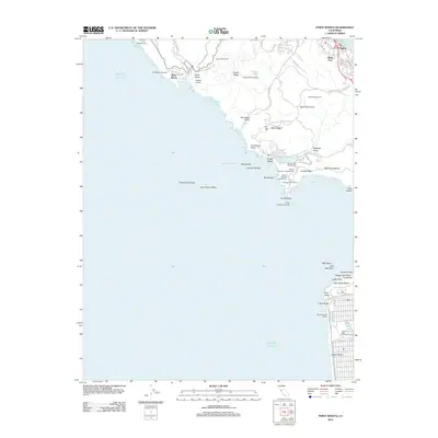 2012 Point Bonita2012 Print · USGSThe Marin coast and San Francisco’s western edge are detailed here in the early twenty-first century, showcasing a unique blend of military heritage and parkland. Trace the coastal batteries and landmarks like Point Bonita Lighthouse, Marin Headlands, and Playland at the Beach.
 - 2012 Map of San Quentin, 2012 Print
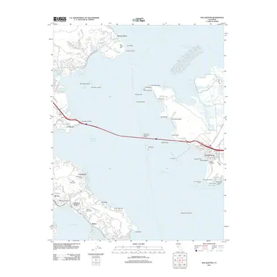 2012 San Quentin2012 Print · USGSThe North Bay’s industrial and residential waterfronts meet in the early twenty-first century, centered on the vital connection of the Richmond - San Rafael Bridge. Researchers can trace the maritime evolution of Point Richmond or locate landmarks like East Brother Lighthouse and San Quentin.
 - 2012 Map of San Francisco North, 2012 Print
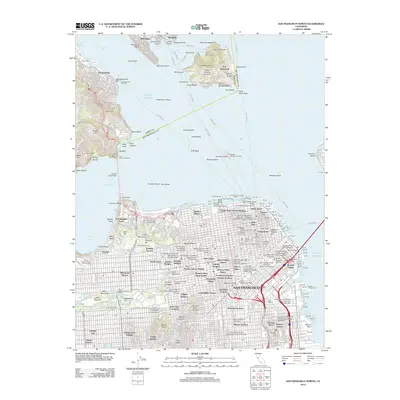 2012 San Francisco North2012 Print · USGSThe northern San Francisco peninsula and Marin coastline are shown here in the early twenty-first century, documenting a landscape of dense neighborhoods and historic maritime hubs. Researchers can locate specific sites from Fishermans Wharf to Haight-Ashbury, or trace the grounds of Fort Winfield Scott and Alcatraz Gardens.
 - 2015 Map of Point Bonita, 2015 Print
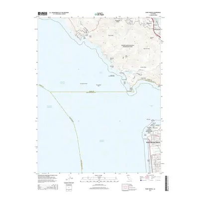 2015 Point Bonita2015 Print · USGSThe northern and southern headlands of the Golden Gate are captured here in the mid-2010s, showcasing the intersection of wild coast and urban San Francisco. Trace the military history at Fort Barry or locate coastal landmarks like Point Bonita and Seal Rocks.
 - 2015 Map of Drakes Bay OE W, 2015 Print
 2015 Drakes Bay OE W2015 Print · USGSThe Marin County coast meets the deep sea in this mid-2010s survey of the state's protected shoreline. Local historians and maritime researchers can trace the boundary between the Pacific Ocean and the terrestrial reaches of Point Reyes Beach within the Point Reyes National Seashore.
 - 2015 Map of San Rafael, 2015 Print
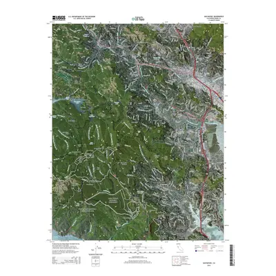 2015 San Rafael2015 Print · USGSMarin County's coastal hills and valleys are captured here at a time of established suburban growth and preserved open space. Researchers can trace local development around San Rafael and Mill Valley, or locate landmarks like College of Marin and Fernwood Cemetery.
Showing maps 1-25 of 66
Top cities of Marin County
- San Rafael historical maps
- Novato historical maps
- Mill Valley historical maps
- San Anselmo historical maps
- Larkspur historical maps
- Corte Madera historical maps
See more
Frequently asked questions
- What are the different types of historical maps available for Marin County?
- What is the oldest map of Marin County?
- Where can I purchase historical maps of Marin County for my home or office?
- Where can I download high-res historical maps of Marin County?
- Are there historical topographic maps available for Marin County?
- Is there historical aerial imagery available for Marin County?
- Where are historical maps of Marin County sourced from?