2010s Maps of Alamosa County, Colorado
Explore 100 historic maps of Alamosa County from the 2010s. These maps offer a rare glimpse into what life looked like during the 2010s — showing old roads, neighborhoods, homes, and landmarks that have changed or disappeared over time.
Whether you're researching your family's past, planning a metal detecting trip, or studying how Alamosa County's landscape evolved across the 2010s, these high-resolution maps are a powerful tool for exploring the history of this region.
- Focus on a specific era: All maps on this page are from the 2010s, giving you a focused view of this time period.
- See what’s changed: Compare century-old streets, trails, and buildings to today's modern landscape using overlays and satellite layers.
- Research with precision: Use these maps for genealogy, historical research, land use analysis, or educational projects.
- View, download, or print: Maps are fully viewable online in high resolution, and can be downloaded or printed for your own records.
Start exploring Alamosa County's history through authentic maps from the 2010s. This is your window into the past.
Alamosa County, CO maps
(100)- 2010 Map of Alamosa West, 2010 Print
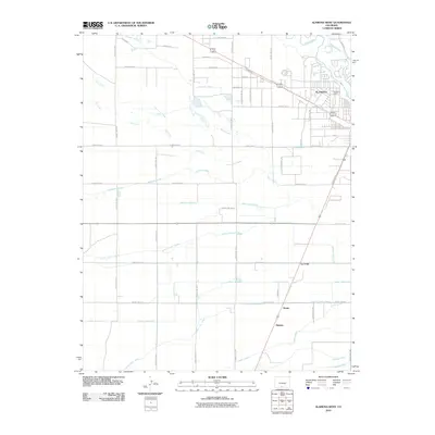 2010 Alamosa West2010 Print · USGSThe high desert agriculture of the San Luis Valley is captured here at the start of the 2010s. Genealogists and local historians can trace the rural settlements of Henry, Hartner, and La Fruto or the complex irrigation works of the Empire Lateral.
 - 2010 Map of Hooper West, 2010 Print
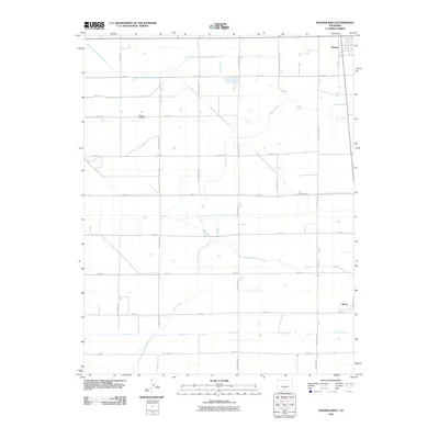 2010 Hooper West2010 Print · USGSThe San Luis Valley's high-altitude farmland is mapped here at the turn of the decade, showing a region governed by irrigation and a rigid road grid. Genealogists and local historians can locate Speiser Cemetery or trace the essential waterways like the Prairie Ditch and Hooper Lateral.
 - 2010 Map of Medano Ranch, 2010 Print
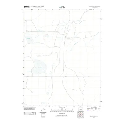 2010 Medano Ranch2010 Print · USGSAlamosa County at the turn of the millennium is a land of sprawling ranch holdings and vital desert wetlands. Researchers can trace the water systems of San Luis Lake and Medano Ranch while exploring the bounds of San Luis Lakes State Park.
 - 2010 Map of Pikes Stockade, 2010 Print
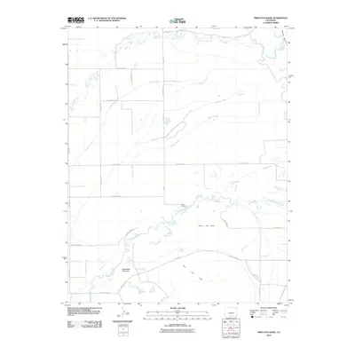 2010 Pikes Stockade2010 Print · USGSAlamosa County at the start of the 2010s reveals a sophisticated irrigation network supporting valley life. Genealogists and historians can trace water rights and land use through the Stewart Ditch, Pikes Stockade, and McIntire Spring.
 - 2010 Map of Sand Camp, 2010 Print
 2010 Sand Camp2010 Print · USGSAlamosa County ranching land and water resources are documented here in the early twenty-first century. Researchers can locate remote landmarks like Sand Camp and Sand Pasture Windmill, or trace natural water sources such as Antelope Springs and Sand Creek.
 - 2010 Map of Baldy, 2010 Print
 2010 Baldy2010 Print · USGSAlamosa County at the start of the decade reveals a landscape where the Road 8 Railroad and rural housing developments meet. Local historians can trace the intricate network of residential thoroughfares such as Canon City Rd, Valley Vista Blvd, and the heights of Hansen Bluff.
 - 2010 Map of Hooper East, 2010 Print
 2010 Hooper East2010 Print · USGSAgricultural life in the Colorado high desert is revealed through this survey of the eastern Hooper area. Genealogists and local historians can trace the water rights and road networks that defined the valley, from Bachelor Lake to the Streator Lateral.
 - 2010 Map of Hooper SE, 2010 Print
 2010 Hooper SE2010 Print · USGSAlamosa County's agricultural landscape is seen here at the start of the decade, defined by its rigid grid and vital irrigation arteries. Trace the path of the Central Lateral and Costilla Canal as they navigate past Stanley Rd and Jasper Cir.
 - 2010 Map of Blanca, 2010 Print
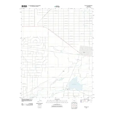 2010 Blanca2010 Print · USGSBlanca and the surrounding San Luis Valley basin appear here in the early twenty-first century as a landscape defined by irrigation and high-desert agriculture. You can trace the complex water network of Smith Reservoir, the Garland Ditch, and Trinchera Creek.
 - 2010 Map of Lasauses, 2010 Print
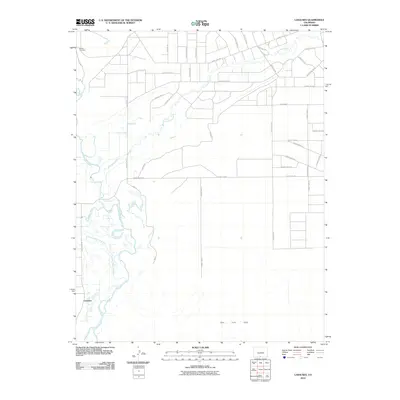 2010 Lasauses2010 Print · USGSThe San Luis Valley comes into sharp focus during the early twenty-first century as the Rio Grande meets the Conejos River. You can trace the rural irrigation network of the Conejos River Diversion and find the location of the Becker Cemetery near Lasauses.
 - 2010 Map of Deadman Camp, 2010 Print
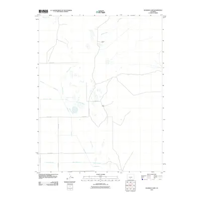 2010 Deadman Camp2010 Print · USGSAlamosa County ranching and water rights are clearly defined in this early twenty-first-century survey of the San Luis Valley. Trace the complex irrigation networks of the Gibson Ditch and Farmers Union Canal near White Ranch.
 - 2010 Map of Alamosa East, 2010 Print
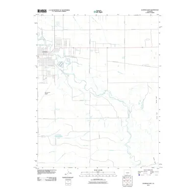 2010 Alamosa East2010 Print · USGSAlamosa and the surrounding high-desert valley are seen here in the early twenty-first century, defined by a sophisticated web of irrigation canals. Researchers can trace the flow of the Rio Grande and locate landmarks like the San Luis Valley Regional Airport, Adams Lake, and Hansen Bluff.
 - 2010 Map of Dry Lakes, 2010 Print
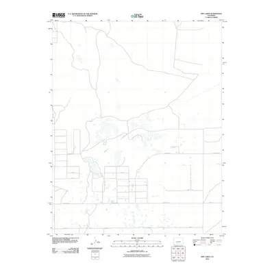 2010 Dry Lakes2010 Print · USGSAlamosa County's high-altitude basin appears here during the early 2000s, defined by its intricate water management and seasonal lake beds. Researchers can trace the layout of the Central Lateral irrigation canal and rural routes like Twomile Rd and County Hwy-116.
 - 2010 Map of La Jara, 2010 Print
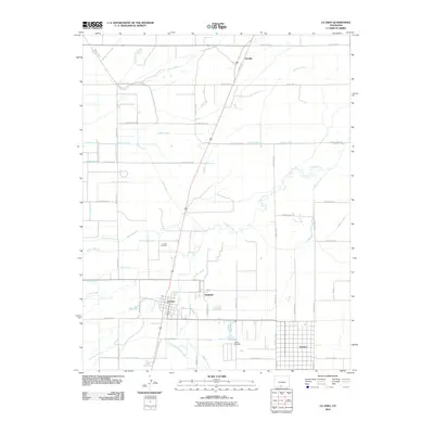 2010 La Jara2010 Print · USGSThe San Luis Valley at the turn of the decade reveals a sophisticated landscape of high-altitude irrigation and planned settlements. Genealogists and local researchers can trace the roads connecting La Jara, Sanford, and the La Jara Cemetery, or follow the course of the Empire Canal.
 - 2010 Map of Homelake, 2010 Print
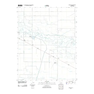 2010 Homelake2010 Print · USGSThe San Luis Valley in the early 2000s reveals a sophisticated network of irrigation and rail-side settlements centered on the Rio Grande. Trace the agricultural heritage of the region through landmarks like Homelake, Sugar Junction, and the expansive Empire Canal.
 - 2010 Map of Capulin, 2010 Print
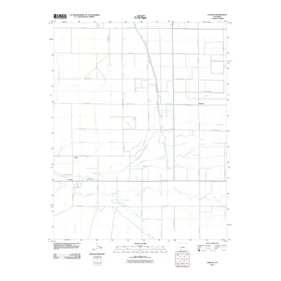 2010 Capulin2010 Print · USGSIn the early twenty-first century, this high-altitude ranching and farming region remains centered on the Alamosa River. Researchers can trace the layout of local cemeteries like Saint Joseph Cemetery and the complex irrigation system of the Monte Vista Canal.
 - 2010 Map of Mount Pleasant School, 2010 Print
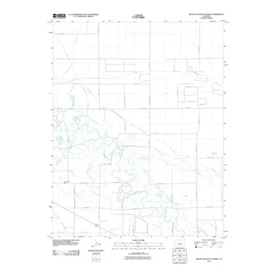 2010 Mount Pleasant School2010 Print · USGSThe Alamosa County countryside is defined by its sophisticated irrigation networks and rural centers in the early twenty-first century. Researchers can trace water rights and land use through the San Luis Valley Canal and locate the historic Mount Pleasant School.
 - 2010 Map of Waverly, 2010 Print
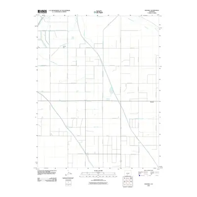 2010 Waverly2010 Print · USGSIn the San Luis Valley during the early twenty-first century, this landscape shows the essential role of complex irrigation systems. Genealogists and local historians can trace the paths of the Empire Canal, Monte Vista Canal, and the community at Waverly.
 - 2010 Map of Center South, 2010 Print
 2010 Center South2010 Print · USGSThe northern San Luis Valley at the start of the 2010s reveals a meticulous landscape of high-altitude agriculture and irrigation. Researchers can trace historic water rights and rural settlements like Ansel, Dunul, and Vastine along the RIO GRANDE DRAIN.
 - 2011 Map of Liberty, 2011 Print
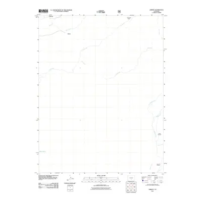 2011 Liberty2011 Print · USGSSaguache County at the edge of the Sangre de Cristo range is shown here in the early twenty-first century. Researchers can trace the drainages of Sand Creek and Medano Creek or locate the settlements of Liberty and Duncan and the secluded Indian Spring.
 - 2011 Map of Zapata Ranch, 2011 Print
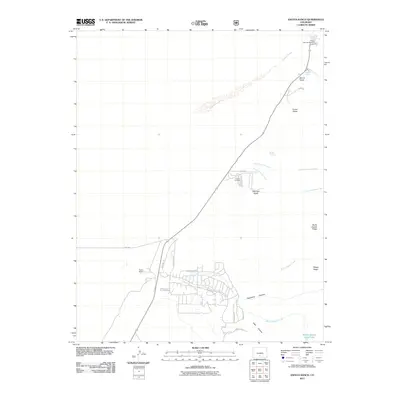 2011 Zapata Ranch2011 Print · USGSAlamosa County ranch lands and rugged foothill drainages are documented here in the early twenty-first century. Researchers can locate Zapata Ranch, trace the route through Mosca Pass, and find the Urraca Cemetery near the gulches.
 - 2011 Map of Medano Pass, 2011 Print
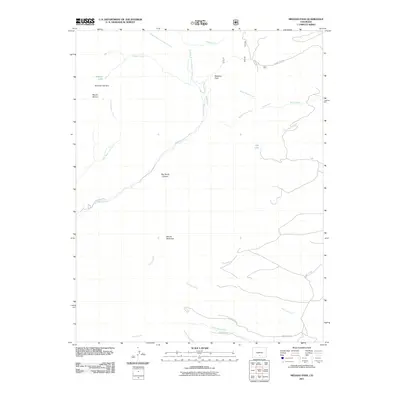 2011 Medano Pass2011 Print · USGSAlamosa County's high-mountain passes and water-diversion history are captured here in the early twenty-first century. Researchers can trace the path of Medano Pass and locate high-altitude features like McKinley Clay Dam and the Medano Ditch.
 - 2011 Map of Twin Peaks, 2011 Print
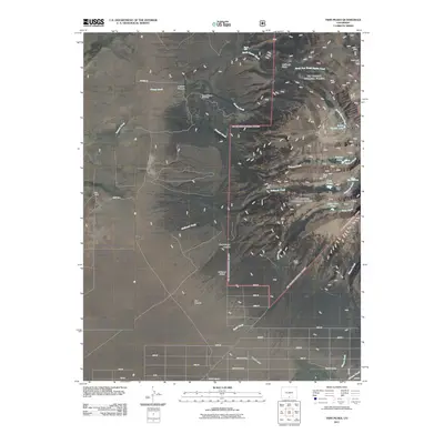 2011 Twin Peaks2011 Print · USGSAlamosa County at the start of the new millennium shows a striking blend of mountain wilderness and emerging rural infrastructure. Local researchers can trace early family sites like King Ranch, high-altitude prospects at Blanca Mine, and the Pioneer Urraca Cemetery.
 - 2011 Map of Blanca Peak, 2011 Print
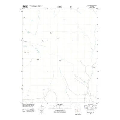 2011 Blanca Peak2011 Print · USGSHigh in the Sangre de Cristo Range during the early twenty-first century, this area centers on some of Colorado's most iconic summits. Hikers and researchers can trace the alpine terrain around Sierra Blanca and Blanca Peak, or locate the Arrowhead Ranch near Ikes Creek.
 - 2011 Map of Mosca Pass, 2011 Print
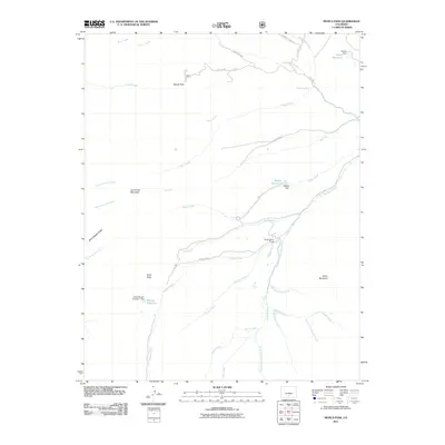 2011 Mosca Pass2011 Print · USGSAlamosa County and the high Sangre de Cristo foothills are captured here in a period of modern water management and ranching. Genealogists and hikers can trace the paths around Mosca Pass and Singing River Ranch, or locate historic landmarks like Shaft Draw.
Showing maps 1-25 of 100
Top cities of Alamosa County
Frequently asked questions
- What are the different types of historical maps available for Alamosa County?
- What is the oldest map of Alamosa County?
- Where can I purchase historical maps of Alamosa County for my home or office?
- Where can I download high-res historical maps of Alamosa County?
- Are there historical topographic maps available for Alamosa County?
- Is there historical aerial imagery available for Alamosa County?
- Where are historical maps of Alamosa County sourced from?