2000s (21st Century) Maps of Boulder County, Colorado
Explore 120 historic maps of Boulder County from the 2000s (21st Century). These maps offer a rare glimpse into what life looked like during the 2000s — showing old roads, neighborhoods, homes, and landmarks that have changed or disappeared over time.
Whether you're researching your family's past, planning a metal detecting trip, or studying how Boulder County's landscape evolved across the 2000s, these high-resolution maps are a powerful tool for exploring the history of this region.
- Focus on a specific era: All maps on this page are from the 2000s, giving you a focused view of this time period.
- See what’s changed: Compare century-old streets, trails, and buildings to today's modern landscape using overlays and satellite layers.
- Research with precision: Use these maps for genealogy, historical research, land use analysis, or educational projects.
- View, download, or print: Maps are fully viewable online in high resolution, and can be downloaded or printed for your own records.
Start exploring Boulder County's history through authentic maps from the 2000s. This is your window into the past.
Boulder County, CO maps
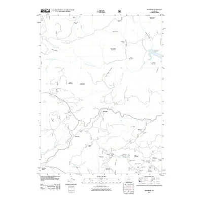
(120)- 2010 Map of Carter Lake Reservoir, 2010 Print
 2010 Carter Lake Reservoir2010 Print · USGSCovers Boulder County, including Loveland, Berthoud, and other nearby areas
 - 2010 Map of McHenrys Peak, 2010 Print
 2010 McHenrys Peak2010 Print · USGSCovers Boulder County, including Larimer County, Grand County, and other nearby areas
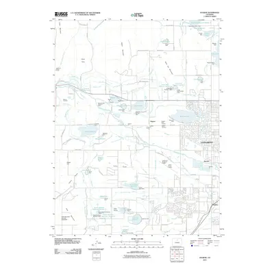
 - 2010 Map of Erie, 2010 Print
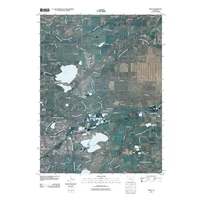
 2010 Erie2010 Print · USGSCovers Boulder County, including Lafayette, Erie, and other nearby areas
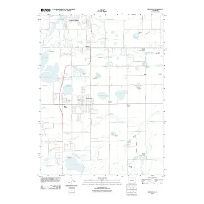
 - 2010 Map of Hygiene, 2010 Print
 2010 Hygiene2010 Print · USGSCovers Boulder County, including Longmont, Lyons, and other nearby areas
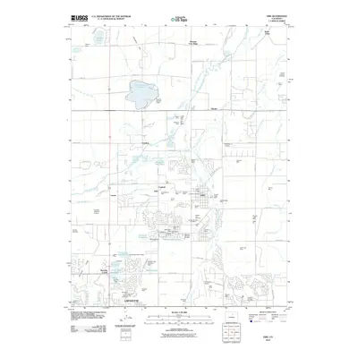
 - 2010 Map of Berthoud, 2010 Print
 2010 Berthoud2010 Print · USGSCovers Boulder County, including Loveland, Berthoud, and other nearby areas
 - 2010 Map of Longmont, 2010 Print
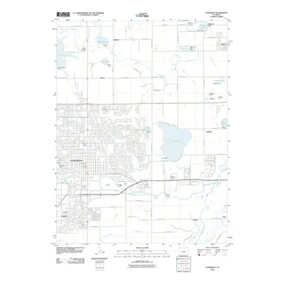 2010 Longmont2010 Print · USGSCovers Boulder County, including Longmont, Frederick, and other nearby areas
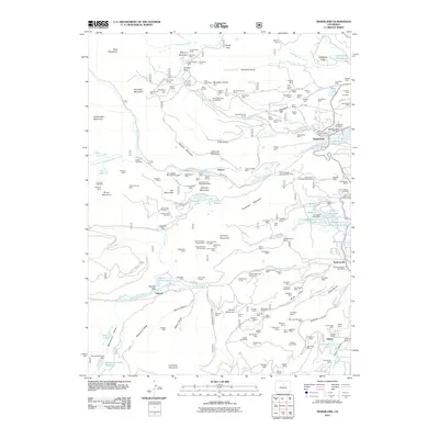
 - 2010 Map of Niwot, 2010 Print
 2010 Niwot2010 Print · USGSCovers Boulder County, including Boulder, Lafayette, and other nearby areas
 - 2010 Map of Lafayette, 2010 Print
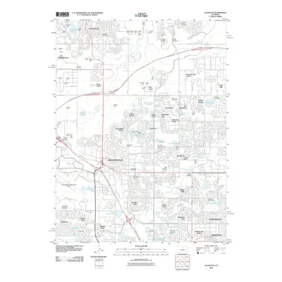 2010 Lafayette2010 Print · USGSCovers Boulder County, including Thornton, Westminster, and other nearby areas
 - 2011 Map of Allenspark, 2011 Print
 2011 Allenspark2011 Print · USGSCovers Boulder County, including Ferncliff, Allenspark, and other nearby areas
 - 2011 Map of Isolation Peak, 2011 Print
 2011 Isolation Peak2011 Print · USGSCovers Boulder County, including Grand County, United States, and other nearby areas
 - 2011 Map of Ward, 2011 Print
 2011 Ward2011 Print · USGSCovers Boulder County, including Ward, United States, and other nearby areas
 - 2011 Map of Raymond, 2011 Print
 2011 Raymond2011 Print · USGSCovers Boulder County, including Jamestown, Peaceful Valley, and other nearby areas
 - 2011 Map of Monarch Lake, 2011 Print
 2011 Monarch Lake2011 Print · USGSCovers Boulder County, including Grand County, United States, and other nearby areas
 - 2011 Map of Lyons, 2011 Print
 2011 Lyons2011 Print · USGSCovers Boulder County, including Lyons, Altona, and other nearby areas
 - 2011 Map of East Portal, 2011 Print
 2011 East Portal2011 Print · USGSCovers Boulder County, including Buckingham Campground, Diamond Lake Campground, and other nearby areas
 - 2011 Map of Louisville, 2011 Print
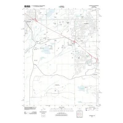 2011 Louisville2011 Print · USGSCovers Boulder County, including Westminster, Boulder, and other nearby areas
 - 2011 Map of Longs Peak, 2011 Print
 2011 Longs Peak2011 Print · USGSCovers Boulder County, including Estes Park, Beaver Point, and other nearby areas
 - 2011 Map of Boulder, 2011 Print
 2011 Boulder2011 Print · USGSCovers Boulder County, including Boulder, Jamestown, and other nearby areas
 - 2011 Map of Gold Hill, 2011 Print
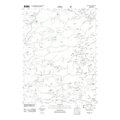 2011 Gold Hill2011 Print · USGSCovers Boulder County, including Jamestown, Silver Springs, and other nearby areas
 - 2011 Map of Pinewood Lake, 2011 Print
 2011 Pinewood Lake2011 Print · USGSCovers Boulder County, including Noland, Pinewood Springs, and other nearby areas
 - 2011 Map of Panorama Peak, 2011 Print
 2011 Panorama Peak2011 Print · USGSCovers Boulder County, including Estes Park, Big Elk Meadows, and other nearby areas
 - 2011 Map of Eldorado Springs, 2011 Print
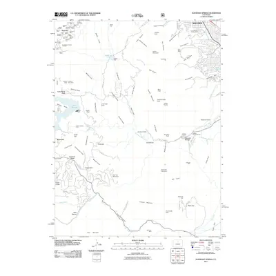 2011 Eldorado Springs2011 Print · USGSCovers Boulder County, including Arvada, Boulder, and other nearby areas
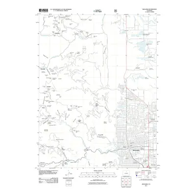
 - 2011 Map of Nederland, 2011 Print
 2011 Nederland2011 Print · USGSCovers Boulder County, including Nederland, Eldora, and other nearby areas
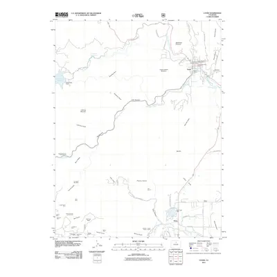
 - 2011 Map of Tungsten, 2011 Print
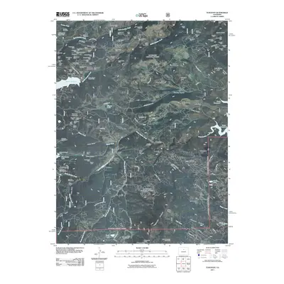 2011 Tungsten2011 Print · USGSCovers Boulder County, including Nederland, Kelly Dahl Campground, and other nearby areas
 - 2013 Map of Isolation Peak, 2013 Print
 2013 Isolation Peak2013 Print · USGSCovers Boulder County, including Grand County, United States, and other nearby areas
Showing maps 1-25 of 120
Top cities of Boulder County
- Boulder historical maps
- Longmont historical maps
- Lafayette historical maps
- Louisville historical maps
- Lyons historical maps
- Nederland historical maps
See more
Frequently asked questions
- What are the different types of historical maps available for Boulder County?
- What is the oldest map of Boulder County?
- Where can I purchase historical maps of Boulder County for my home or office?
- Where can I download high-res historical maps of Boulder County?
- Are there historical topographic maps available for Boulder County?
- Is there historical aerial imagery available for Boulder County?
- Where are historical maps of Boulder County sourced from?