
Historical Maps of Monroe County, Florida
What stories do these 170 old maps tell about Monroe County's past? From 1921 to present day, these maps reveal the evolution of streets, neighborhoods, iconic landmarks, and natural features in stunning high-res detail. Whether you're a history enthusiast, genealogist, or professional in education, environmental work, or architecture, these maps are perfect for exploration, research, and discovery.
Discover Monroe County's history through maps:
- Trace Monroe County's growth: Explore earlier and latest maps and editions to uncover how the region changed over time.
- Examine technical details: Each map includes its creators, publishers, scale, dimensions, and full source information.
- Layer maps with modern tools & imagery: Compare historical maps to modern-day with high-resolution satellite imagery and detailed LiDAR layers.
- Sourced from trusted archives: Carefully preserved and digitized by institutions like the United Stated Geological Survey and the US Library of Congress.
- Access in any format: View and explore in high resolution, download for offline use, or order a museum-quality print for yourself or a loved one.
Begin your journey into Monroe County's history with these remarkable must-see maps.
Monroe County, FL maps
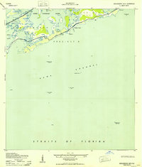
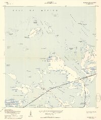
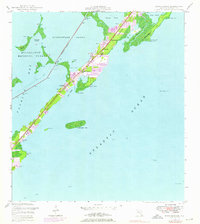
(170)- 1921 Map of Sugar Loaf Key
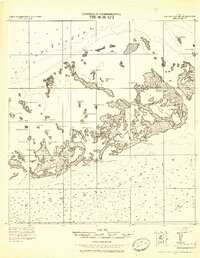 1921 Sugar Loaf Key1921 Print · USGSCovers Monroe County, including Key West, El Chico, and other nearby areas
 - 1921 Map of Key West
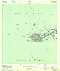
 1921 Key West1921 Print · USGSCovers Monroe County, including Key West, United States, and other nearby areas
 - 1921 Map of Sugar Loaf Key, 1942 Print
 1921 Sugar Loaf Key1942 Print · USGSCovers Monroe County, including Key West, El Chico, and other nearby areas
 - 1943 Map of Snipe Keys
 1943 Snipe Keys1943 Print · USGSCovers Monroe County, including United States, Florida, and other nearby areas
 - 1943 Map of Bay Keys
 1943 Bay Keys1943 Print · USGSCovers Monroe County, including United States, Florida, and other nearby areas
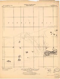
 - 1943 Map of Saddlebunch Keys
 1943 Saddlebunch Keys1943 Print · USGSCovers Monroe County, including United States, Florida, and other nearby areas
 - 1943 Map of Boca Chica
 1943 Boca Chica1943 Print · USGSCovers Monroe County, including Key West, El Chico, and other nearby areas
 - 1943 Map of Key West
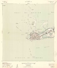
 1943 Key West1943 Print · USGSCovers Monroe County, including Key West, United States, and other nearby areas
 - 1943 Map of Saddlebunch Keys
 1943 Saddlebunch Keys1943 Print · USGSCovers Monroe County, including United States, Florida, and other nearby areas
 - 1943 Map of Key West
 1943 Key West1943 Print · USGSCovers Monroe County, including Key West, United States, and other nearby areas
 - 1943 Map of Snipe Keys
 1943 Snipe Keys1943 Print · USGSCovers Monroe County, including United States, Florida, and other nearby areas
 - 1943 Map of Sugarloaf Key
 1943 Sugarloaf Key1943 Print · USGSCovers Monroe County, including Pirates Cove, Perky, and other nearby areas
 - 1943 Map of Key West, 1952 Print
 1943 Key West1952 Print · USGSCovers Monroe County, including Key West, United States, and other nearby areas
 - 1943 Map of Sugarloaf Key, 1952 Print
 1943 Sugarloaf Key1952 Print · USGSCovers Monroe County, including Pirates Cove, Perky, and other nearby areas
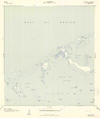
 - 1943 Map of Cottrell Key, 1952 Print
 1943 Cottrell Key1952 Print · USGSCovers Monroe County, including United States, Florida, and other nearby areas
 - 1943 Map of Sugarloaf Key, 1963 Print
 1943 Sugarloaf Key1963 Print · USGSCovers Monroe County, including Pirates Cove, Perky, and other nearby areas
 - 1947 Map of Garden Cove, 1964 Print
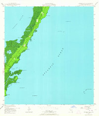 1947 Garden Cove1964 Print · USGSCovers Monroe County, including Garden Cove, United States, and other nearby areas
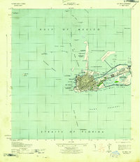
 - 1947 Map of Rock Harbor, 1965 Print
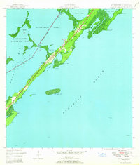 1947 Rock Harbor1965 Print · USGSCovers Monroe County, including Key Largo, Newport, and other nearby areas
 - 1947 Map of Blackwater Sound, 1967 Print
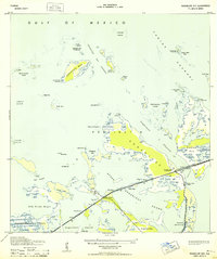
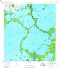 1947 Blackwater Sound1967 Print · USGSCovers Monroe County, including Anglers Park, Jewfish, and other nearby areas
 - 1947 Map of Blackwater Sound, 1970 Print
 1947 Blackwater Sound1970 Print · USGSCovers Monroe County, including Anglers Park, Jewfish, and other nearby areas
 - 1947 Map of Rock Harbor, 1970 Print
 1947 Rock Harbor1970 Print · USGSCovers Monroe County, including Key Largo, Newport, and other nearby areas
 - 1947 Map of Blackwater Sound, 1970 Print
 1947 Blackwater Sound1970 Print · USGSCovers Monroe County, including Anglers Park, Jewfish, and other nearby areas
 - 1947 Map of Garden Cove, 1970 Print
 1947 Garden Cove1970 Print · USGSCovers Monroe County, including Garden Cove, United States, and other nearby areas
 - 1947 Map of Rock Harbor, 1976 Print
 1947 Rock Harbor1976 Print · USGSCovers Monroe County, including Key Largo, Newport, and other nearby areas
 - 1947 Map of Blackwater Sound, 1976 Print
 1947 Blackwater Sound1976 Print · USGSCovers Monroe County, including Anglers Park, Jewfish, and other nearby areas
Showing maps 1-25 of 170
Top cities in Monroe County
- Key West historical maps
- Key Largo historical maps
- Marathon historical maps
- Islamorada historical maps
- Big Pine Key historical maps
- Key Colony Beach historical maps
See more
Frequently asked questions
- What are the different types of historical maps available for Monroe County?
- What is the oldest map of Monroe County?
- Where can I purchase historical maps of Monroe County for my home or office?
- Where can I download high-res historical maps of Monroe County?
- Are there historical topographic maps available for Monroe County?
- Is there historical aerial imagery available for Monroe County?
- Where are historical maps of Monroe County sourced from?