2010s Maps of Stewart County, Georgia
Explore 36 historic maps of Stewart County from the 2010s. These maps offer a rare glimpse into what life looked like during the 2010s — showing old roads, neighborhoods, homes, and landmarks that have changed or disappeared over time.
Whether you're researching your family's past, planning a metal detecting trip, or studying how Stewart County's landscape evolved across the 2010s, these high-resolution maps are a powerful tool for exploring the history of this region.
- Focus on a specific era: All maps on this page are from the 2010s, giving you a focused view of this time period.
- See what’s changed: Compare century-old streets, trails, and buildings to today's modern landscape using overlays and satellite layers.
- Research with precision: Use these maps for genealogy, historical research, land use analysis, or educational projects.
- View, download, or print: Maps are fully viewable online in high resolution, and can be downloaded or printed for your own records.
Start exploring Stewart County's history through authentic maps from the 2010s. This is your window into the past.
Stewart County, GA maps
(36)- 2011 Map of Twin Springs, 2011 Print
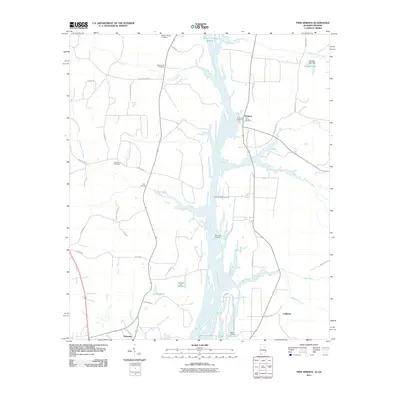 2011 Twin Springs2011 Print · USGSThe Chattahoochee River corridor at the start of the 2010s reveals a quiet landscape of riverside landings and rural settlements. Genealogists and local historians can locate several family burial grounds, including Trinity Cemetery and Williams Cemetery, near the waters of Little Barbour Creek.2 unique versions available
 - 2011 Map of Omaha, 2011 Print
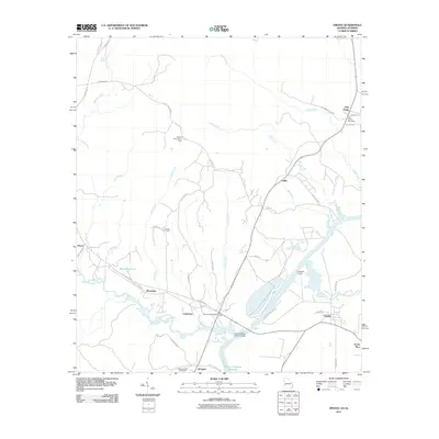 2011 Omaha2011 Print · USGSThe river border between Alabama and Georgia comes to life in this early 21st-century study of the Chattahoochee River valley. Genealogists and historians can locate family landmarks like Wesley Chapel Cemetery, Thomas Cemetery, and the community of Holy Trinity.
 - 2011 Map of Brooklyn, 2011 Print
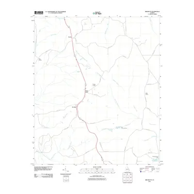 2011 Brooklyn2011 Print · USGSThe rural settlements of Brooklyn and Renfroe are documented here in the early twenty-first century, showing the established road networks and creek systems of the Georgia interior. Researchers can locate family landmarks like Saint Phillip's Cemetery and Van Cleve Lake.
 - 2011 Map of Richland, 2011 Print
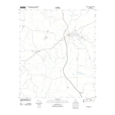 2011 Richland2011 Print · USGSRichland and the surrounding Stewart County countryside are captured here in the early twenty-first century. Genealogists and local historians can trace family roots through Pleasant Valley Cemetery, Whitt Cemetery, and the old rail connections near Randall.
 - 2011 Map of Louvale, 2011 Print
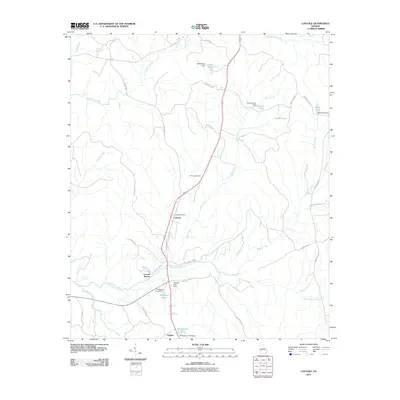 2011 Louvale2011 Print · USGSCoastal plain drainage and small rural communities characterize this Stewart County landscape in the early twenty-first century. Researchers can trace family history at Armour Cemetery and locate rural landmarks like the Louvale Post Office and Charles.
 - 2011 Map of Lumpkin SW, 2011 Print
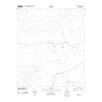 2011 Lumpkin SW2011 Print · USGSStewart County, Georgia, remains a rural landscape defined by unique erosion and quiet settlements in the early twenty-first century. Researchers can locate family heritage sites like the James Templeton Cemetery or explore the geography of Providence Canyons and Patterson Hills.
 - 2011 Map of Georgetown, 2011 Print
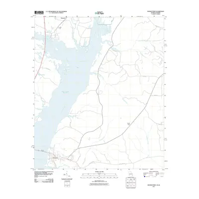 2011 Georgetown2011 Print · USGSThe Georgia-Alabama borderland is shown in the early twenty-first century as the Chattahoochee River flows through the Walter F George Reservoir. Researchers can trace local landmarks like the Quitman Lookout Tower, the Vandiver Causeway, and the historic landing at Watson's Lndg.
 - 2011 Map of Lumpkin, 2011 Print
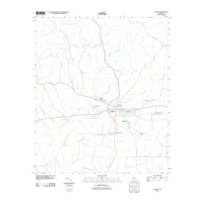 2011 Lumpkin2011 Print · USGSLumpkin and Westville are captured in the early twenty-first century, showcasing a landscape defined by local millponds and historic road networks. Researchers can locate East Side Cemetery, trace the path of Hodchodkee Creek, and identify landmarks like the Stewart County Prison Farm.
 - 2011 Map of Union, 2011 Print
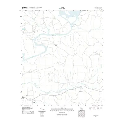 2011 Union2011 Print · USGSThe river landings and family homesteads of Stewart County are captured here in the early twenty-first century. Researchers can trace land legacies at Upper Bradley Place or locate family plots at Mathis Cemetery and the Irena Methodist Church Cemetery.
 - 2011 Map of Benevolence, 2011 Print
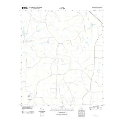 2011 Benevolence2011 Print · USGSWest Georgia's rural landscape is captured here in the early twenty-first century, showing a network of small settlements and traditional homesteads. Researchers can locate family landmarks like Sardis Cemetery, the community of Benevolence, and quiet water features such as Singers Pond.
 - 2011 Map of County Line, 2011 Print
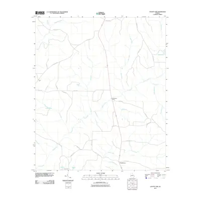 2011 County Line2011 Print · USGSBenevolence and the surrounding Randolph County countryside are shown here in the early twenty-first century. Researchers can trace rural community footprints and family landmarks such as Pumpkintown, Summerfield Bridge, and Carters Pond.
 - 2011 Map of Sanford, 2011 Print
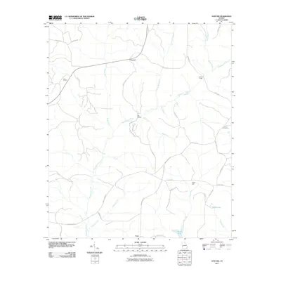 2011 Sanford2011 Print · USGSStewart County at the start of the 2010s was a landscape of quiet crossroads and winding creek branches. Researchers can trace family history through sites like Hogan Cemetery, the settlement of Union, and crossings at Ray Bridge.
 - 2014 Map of Lumpkin, 2014 Print
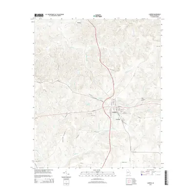 2014 Lumpkin2014 Print · USGSStewart County, Georgia, is captured here in the early twenty-first century, centered on the historic town of Lumpkin. Researchers can trace local burial sites like Ebenezer Cem and find geographic landmarks such as Westville, Ushers Millpond, and Peek Hollow.
 - 2014 Map of Richland, 2014 Print
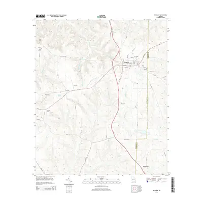 2014 Richland2014 Print · USGSRichland and the surrounding Georgia countryside are documented here during the early twenty-first century. Genealogists can locate several area burial grounds like Harmony Cem and Bryants Cem or trace the rural routes connecting Randall and Kimbrough.
 - 2014 Map of Louvale, 2014 Print
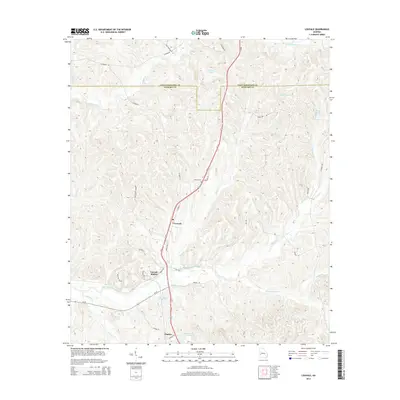 2014 Louvale2014 Print · USGSStewart County, Georgia, is documented here in the early twenty-first century as a landscape of rural settlements and interconnected waterways. Researchers can trace family history through sites like the Armour Cem and local landmarks including Halliday Lake and Louvale Station.
 - 2014 Map of Brooklyn, 2014 Print
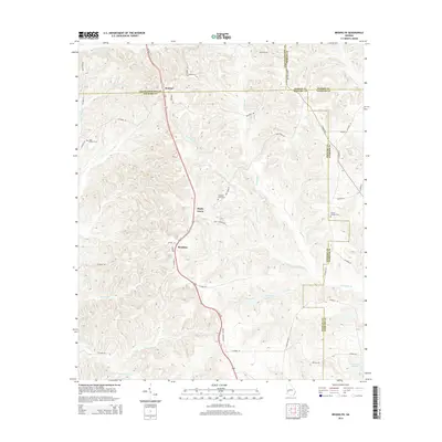 2014 Brooklyn2014 Print · USGSStewart and Chattahoochee counties appear in the early twenty-first century as a landscape of rural settlements and winding creeks. Researchers can trace family sites like Saint Phillip's Cem and Pickett Shipley Cem along the waters of Slaughter Cr.
 - 2014 Map of Lumpkin SW, 2014 Print
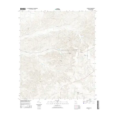 2014 Lumpkin SW2014 Print · USGSStewart County, Georgia, is documented here in the modern era, showcasing its distinctive canyon topography and rural settlement patterns. Genealogists can locate family landmarks like James Templeton Cem and Wesley Chapel Cem near Beatrice.
 - 2014 Map of Benevolence, 2014 Print
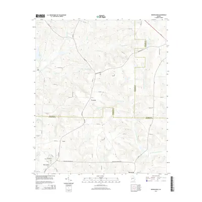 2014 Benevolence2014 Print · USGSGeorgia's rural landscape at the intersection of Randolph, Stewart, and Webster counties is documented here in the early twenty-first century. Genealogists and historians can trace family locations near Benevolence, Sardis Cem, and the Benevolence Baptist Church Cem.
 - 2014 Map of Georgetown, 2014 Print
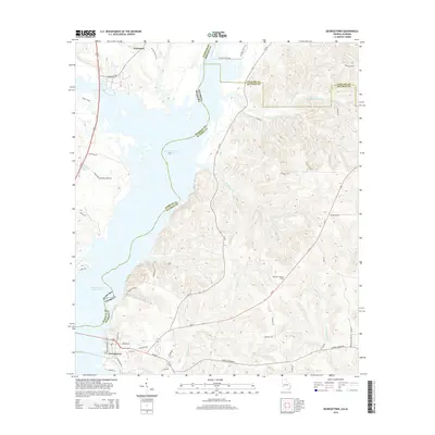 2014 Georgetown2014 Print · USGSThe Alabama and Georgia borderlands meet along the Chattahoochee in the early 2010s, centered on the reservoir and the town of Georgetown. Researchers can trace local landmarks like the Quitman Lookout Tower and old river access points such as Watsons Lndg.
 - 2014 Map of Omaha, 2014 Print
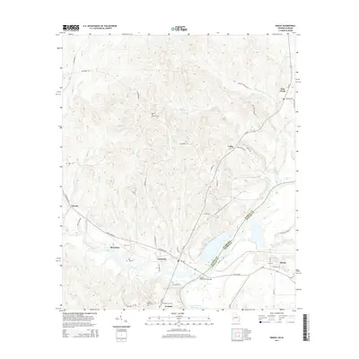 2014 Omaha2014 Print · USGSThe Alabama-Georgia borderlands are captured here in the mid-2010s as the Chattahoochee River widens into the Walter F George Reservoir. Genealogists and local historians can trace rural settlements like Cottonton and Jernigan, or locate family sites like Thomas Cem.
 - 2014 Map of Union, 2014 Print
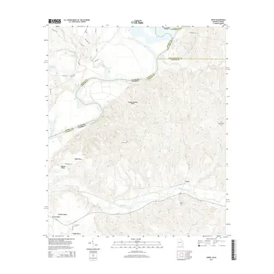 2014 Union2014 Print · USGSThe Georgia-Alabama borderlands come into focus in the mid-2010s, defined by the winding Chattahoochee River and a network of traditional family estates. Researchers can trace local lineage through numerous named properties like Gillis Place and Upper Bradley Place, as well as quiet rural landmarks including Irena Methodist Church Cem.
 - 2014 Map of County Line, 2014 Print
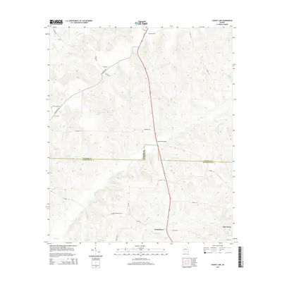 2014 County Line2014 Print · USGSThe Stewart and Randolph county line area in the early 2010s is captured here with its network of rural creek-side roads and minor watercourses. Researchers can locate the settlement of Pumpkintown or trace old property landmarks like Summerfield Bridge and Wards Mill Br.
 - 2014 Map of Sanford, 2014 Print
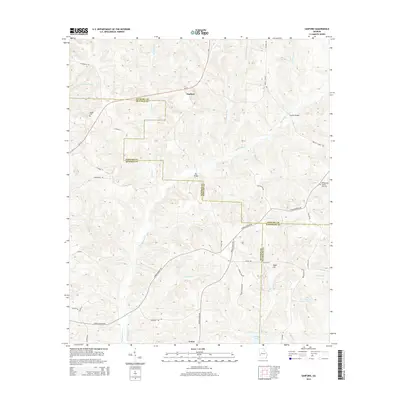 2014 Sanford2014 Print · USGSStewart and Quitman counties meet in this 2014 survey of southwestern Georgia's rural creek valleys and crossroads. Researchers can locate family landmarks like Hogan Cem and County Line Cem or trace the routes of Lower Lumpkin Rd and Union Church Rd.
 - 2014 Map of Twin Springs, 2014 Print
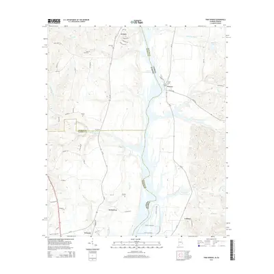 2014 Twin Springs2014 Print · USGSThe Alabama-Georgia borderlands along the Walter F George Reservoir are captured here in the early twenty-first century. Family history researchers can locate several rural burial grounds such as Union Grove Cem and Old Zion Hill Cem near Jernigan and Florence.
 - 2017 Map of County Line, 2017 Print
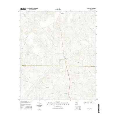 2017 County Line2017 Print · USGSThe rural border of Stewart and Randolph Counties is captured here in the late 2010s, showing a landscape shaped by creek systems and country roads. Researchers can trace local landmarks like Summerfield Bridge, Singer Pond, and the route of Philadelphia Church Rd.
Showing maps 1-25 of 36
Top cities of Stewart County
Frequently asked questions
- What are the different types of historical maps available for Stewart County?
- What is the oldest map of Stewart County?
- Where can I purchase historical maps of Stewart County for my home or office?
- Where can I download high-res historical maps of Stewart County?
- Are there historical topographic maps available for Stewart County?
- Is there historical aerial imagery available for Stewart County?
- Where are historical maps of Stewart County sourced from?