2000s (21st Century) Maps of Oakley, Idaho
Explore 23 historic maps of Oakley from the 2000s (21st Century). These maps offer a rare glimpse into what life looked like during the 2000s — showing old roads, neighborhoods, homes, and landmarks that have changed or disappeared over time.
Whether you're researching your family's past, planning a metal detecting trip, or studying how Oakley's landscape evolved across the 2000s, these high-resolution maps are a powerful tool for exploring the history of this region.
- Focus on a specific era: All maps on this page are from the 2000s, giving you a focused view of this time period.
- See what’s changed: Compare century-old streets, trails, and buildings to today's modern landscape using overlays and satellite layers.
- Research with precision: Use these maps for genealogy, historical research, land use analysis, or educational projects.
- View, download, or print: Maps are fully viewable online in high resolution, and can be downloaded or printed for your own records.
Start exploring Oakley's history through authentic maps from the 2000s. This is your window into the past.
Oakley, ID maps
(23)- 2001 Map of Basin, 2006 Print
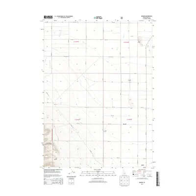
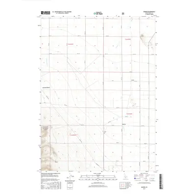
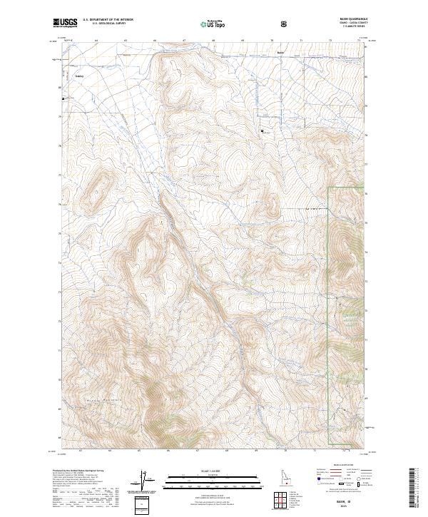
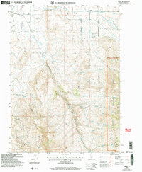 2001 Basin2006 Print · USGSOakley and the surrounding high country of Cassia County are captured here just after the turn of the twenty-first century. Researchers can trace land use from the Basin Cem to the industrial footprints of Fish Creek Quarry and Camel Rock within the Sawtooth National Forest.
 - 2001 Map of Oakley, 2006 Print
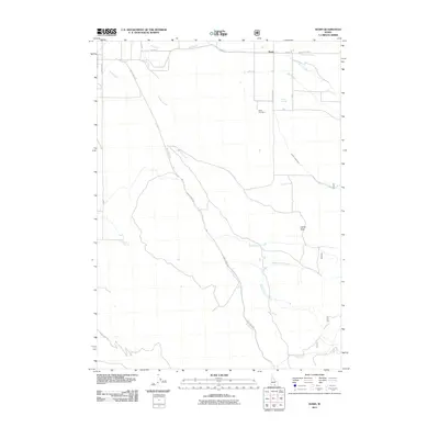
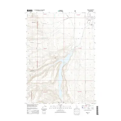
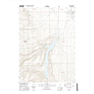
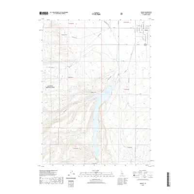
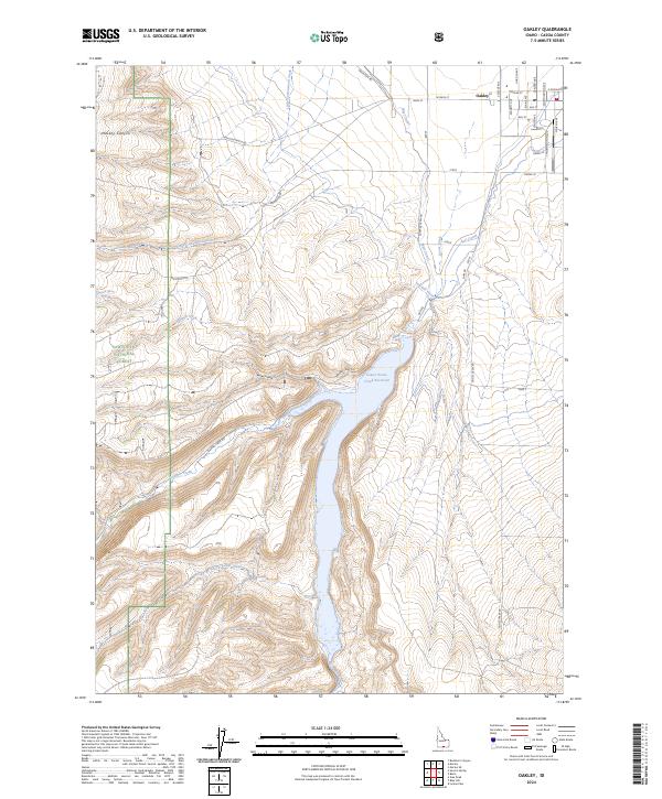
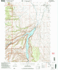 2001 Oakley2006 Print · USGSOakley and the surrounding Goose Creek valley are shown here at the start of the twenty-first century, centered on the vital water management systems of the high desert. Researchers can trace the local irrigation network through the West Canal and aqueduct, or locate civic landmarks like the Cemetery and Rodeo Ground.
 - 2001 Map of Marion, 2006 Print
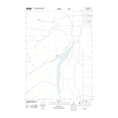
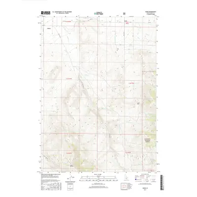
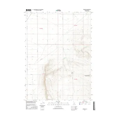
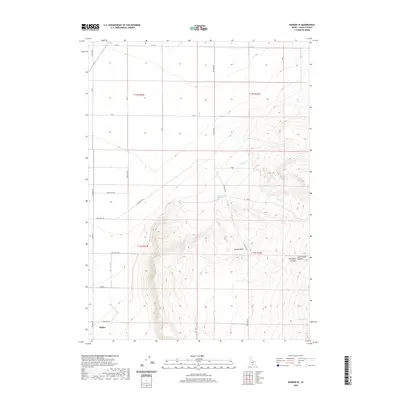
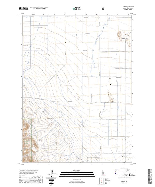
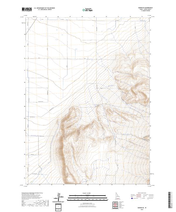
 2001 Marion2006 Print · USGSCassia County at the start of the millennium reveals a landscape of irrigation and memory, where high desert farmland meets the SAWTOOTH NATIONAL FOREST. Trace vanished settlements and rail sidings like Churchill (Site), Locust, and Warr (Site), or locate family roots at the Marion Cemetery.
 - 2010 Map of Marion SE, 2010 Print
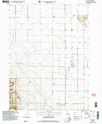
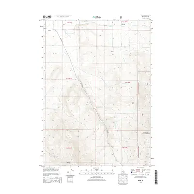
 2010 Marion SE2010 Print · USGSCovers Oakley, including Cassia County, United States, and other nearby areas
 - 2011 Map of Basin, 2011 Print
 2011 Basin2011 Print · USGSCovers Oakley, including Cassia County, United States, and other nearby areas
 - 2011 Map of Oakley, 2011 Print
 2011 Oakley2011 Print · USGSCovers Oakley, including Cassia County, United States, and other nearby areas
 - 2011 Map of Marion, 2011 Print
 2011 Marion2011 Print · USGSCovers Oakley, including Cassia County, United States, and other nearby areas
 - 2013 Map of Marion SE, 2013 Print
 2013 Marion SE2013 Print · USGSCovers Oakley, including Cassia County, United States, and other nearby areas
 - 2013 Map of Marion, 2013 Print
 2013 Marion2013 Print · USGSCovers Oakley, including Cassia County, United States, and other nearby areas
 - 2013 Map of Basin, 2013 Print
 2013 Basin2013 Print · USGSCovers Oakley, including Cassia County, United States, and other nearby areas
 - 2013 Map of Oakley, 2013 Print
 2013 Oakley2013 Print · USGSCovers Oakley, including Cassia County, United States, and other nearby areas
 - 2017 Map of Basin, 2017 Print
 2017 Basin2017 Print · USGSCovers Oakley, including Cassia County, United States, and other nearby areas
 - 2017 Map of Marion SE, 2017 Print
 2017 Marion SE2017 Print · USGSCovers Oakley, including Cassia County, United States, and other nearby areas
 - 2017 Map of Oakley, 2017 Print
 2017 Oakley2017 Print · USGSCovers Oakley, including Cassia County, United States, and other nearby areas
 - 2017 Map of Marion, 2017 Print
 2017 Marion2017 Print · USGSCovers Oakley, including Cassia County, United States, and other nearby areas
 - 2020 Map of Oakley, 2020 Print
 2020 Oakley2020 Print · USGSCovers Oakley, including Cassia County, United States, and other nearby areas
 - 2020 Map of Marion SE, 2020 Print
 2020 Marion SE2020 Print · USGSCovers Oakley, including Cassia County, United States, and other nearby areas
 - 2020 Map of Basin, 2020 Print
 2020 Basin2020 Print · USGSCovers Oakley, including Cassia County, United States, and other nearby areas
 - 2020 Map of Marion, 2020 Print
 2020 Marion2020 Print · USGSCovers Oakley, including Cassia County, United States, and other nearby areas
 - 2023 Map of Marion, 2023 Print
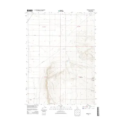
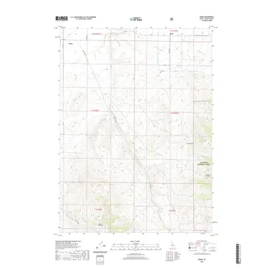
 2023 Marion2023 Print · USGSCassia County at the edge of the forest comes into focus in this contemporary survey of the Idaho ranchlands near Oakley. Genealogists and local historians can trace the rural communities of Marion and Trout or locate family plots at Island Cem.
 - 2023 Map of Marion SE, 2023 Print
 2023 Marion SE2023 Print · USGSSouthern Idaho ranching and water management are front and center in this recent survey of the Cassia County desert. Researchers can trace natural and man-made water systems from Land Ranch Spring and Beake Spring to the extensive East Canal.
 - 2023 Map of Basin, 2023 Print
 2023 Basin2023 Print · USGSThe Cassia County high country comes into focus in this contemporary survey of the settlements at the foot of Middle Mountain. Researchers can trace the irrigation network of the Summit Creek Ditch or locate family plots in the Oakley Cem and Basin Cem.
 - 2024 Map of Oakley, 2024 Print
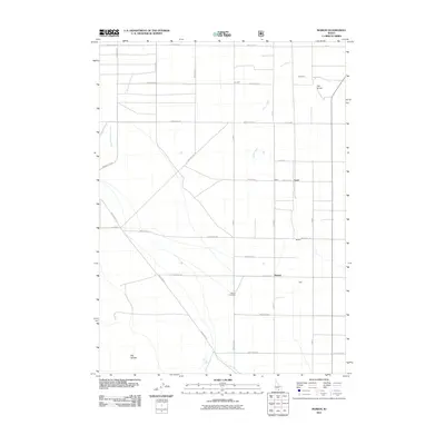
 2024 Oakley2024 Print · USGSCassia County land and water rights are etched into this modern survey of the high desert. Genealogists and local historians can trace family-named routes like Mullen Ranch Rd and explore the reach of the West Canal near Oakley.
End of results
Showing maps 1-23 of 23
Frequently asked questions
- What are the different types of historical maps available for Oakley?
- What is the oldest map of Oakley?
- Where can I purchase historical maps of Oakley for my home or office?
- Where can I download high-res historical maps of Oakley?
- Are there historical topographic maps available for Oakley?
- Is there historical aerial imagery available for Oakley?
- Where are historical maps of Oakley sourced from?