Old Maps of Oakley, Idaho for Metal Detecting
Plan your next treasure hunt with 30 historic maps of Oakley. Find old homesites, ghost towns, trails, and gathering spots that may be lost to time — perfect for identifying promising metal detecting locations.
- Locate forgotten sites: Uncover places like long-lost settlements, abandoned rail lines, or gathering spots.
- Plan better hunts: Use map overlays combined with LiDAR or satellite views to narrow in on historically rich areas.
- Made for detectorists: Thousands of hobbyists use these maps to discover relics, coins, and hidden history.
Use these historic maps to boost your research and find new opportunities beneath the surface of Oakley.
Oakley, ID maps
(30)- 1954 Map of Pocatello, 1963 Print
 1954 Pocatello1963 Print · USGSSoutheast Idaho in the mid-1950s reveals a landscape shaped by massive water reclamation and mountain forests. Researchers can trace the development of the Fort Hall Indian Reservation or locate specific landmarks like the Arbon P O and Emerson School.4 unique versions available
 - 1958 Map of Pocatello
 1958 Pocatello1958 Print · USGSSoutheastern Idaho in the late fifties was a landscape of expanding reservoirs and historic trails. Genealogists and historians can trace the Old Oregon Trail, locate the Bannock Creek Indian Day School, and study the many Union Pacific rail sidings.2 unique versions available
 - 1968 Map of Basin, 1972 Print
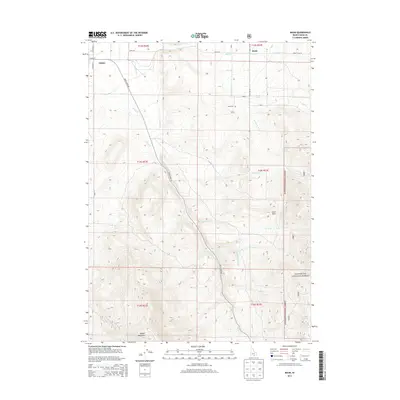
 1968 Basin1972 Print · USGSCassia County land and water use are on full display in the late sixties, highlighting the ranching and irrigation networks near the Sawtooth National Forest. Researchers can locate the Basin Cem, trace the route of the East Canal, and find early mining Prospects near Camel Rock.2 unique versions available
 - 1968 Map of Marion SE, 1972 Print
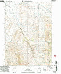
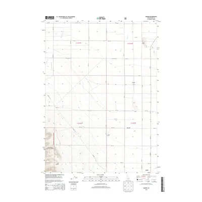
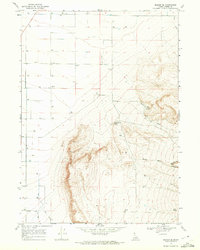 1968 Marion SE1972 Print · USGSCassia County land use is documented here in the late sixties as the high desert meets the mountain front. Trace water rights and land management through features like Bedke Spring, East Mill Creek, and the resource extraction sites of Big Cedar Can.
 - 1968 Map of Oakley, 1972 Print
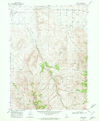
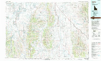
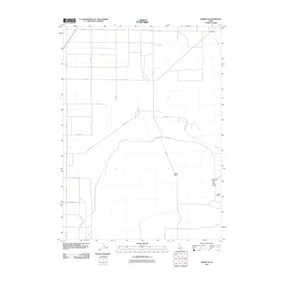
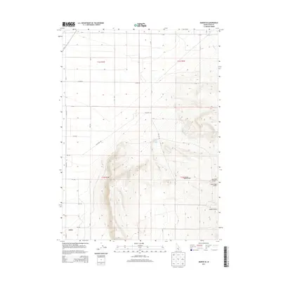
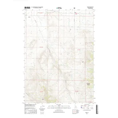
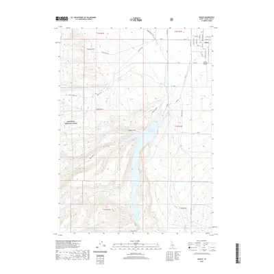
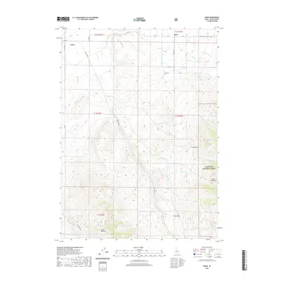
 1968 Oakley1972 Print · USGSOakley and the surrounding high desert was a hub of irrigation and transport in the late sixties. Trace the vital water systems of the Lower Goose Creek Reservoir, the Union Pacific rail line, and the local Cem.2 unique versions available
 - 1968 Map of Marion, 1972 Print
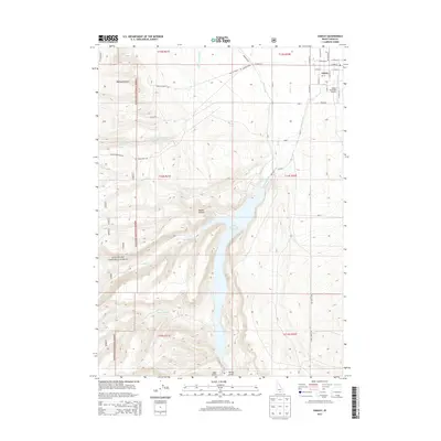
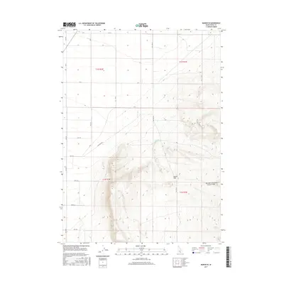
 1968 Marion1972 Print · USGSCassia County's agricultural heartland is documented here in the late sixties as the rail-and-water economy matured. Genealogists can trace family connections at the Marion Cemetery or locate the former community centers of Churchill (Site) and Marion.
 - 1993 Map of Oakley
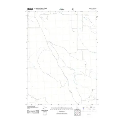
 1993 Oakley1993 Print · USGSCassia County in the early nineties features a vast landscape of high-desert basins and granite formations. Genealogists and historians can trace the Hudspeth Cutoff, an Old Railroad Grade, and vanished towns like Churchill.
 - 2001 Map of Basin, 2006 Print
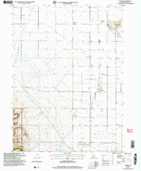
 2001 Basin2006 Print · USGSOakley and the surrounding high country of Cassia County are captured here just after the turn of the twenty-first century. Researchers can trace land use from the Basin Cem to the industrial footprints of Fish Creek Quarry and Camel Rock within the Sawtooth National Forest.
 - 2001 Map of Oakley, 2006 Print
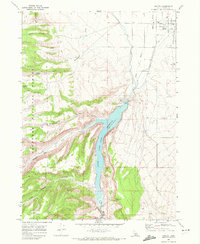
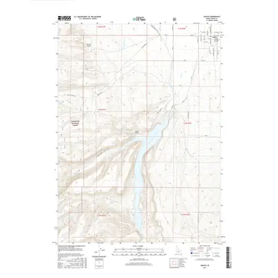
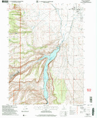 2001 Oakley2006 Print · USGSOakley and the surrounding Goose Creek valley are shown here at the start of the twenty-first century, centered on the vital water management systems of the high desert. Researchers can trace the local irrigation network through the West Canal and aqueduct, or locate civic landmarks like the Cemetery and Rodeo Ground.
 - 2001 Map of Marion, 2006 Print
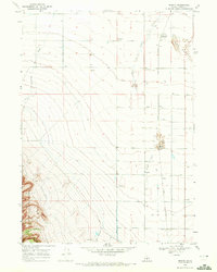
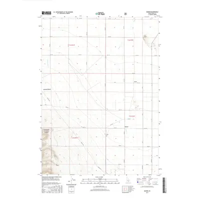
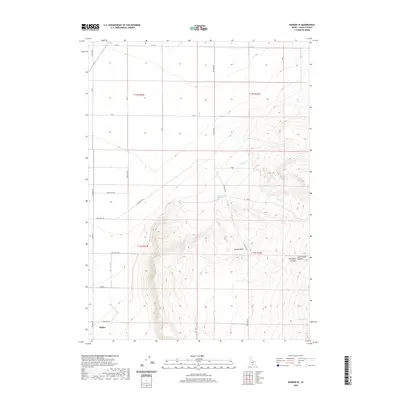
 2001 Marion2006 Print · USGSCassia County at the start of the millennium reveals a landscape of irrigation and memory, where high desert farmland meets the SAWTOOTH NATIONAL FOREST. Trace vanished settlements and rail sidings like Churchill (Site), Locust, and Warr (Site), or locate family roots at the Marion Cemetery.
 - 2010 Map of Marion SE, 2010 Print
 2010 Marion SE2010 Print · USGSCovers Oakley, including Cassia County, United States, and other nearby areas
 - 2011 Map of Basin, 2011 Print
 2011 Basin2011 Print · USGSCovers Oakley, including Cassia County, United States, and other nearby areas
 - 2011 Map of Oakley, 2011 Print
 2011 Oakley2011 Print · USGSCovers Oakley, including Cassia County, United States, and other nearby areas
 - 2011 Map of Marion, 2011 Print
 2011 Marion2011 Print · USGSCovers Oakley, including Cassia County, United States, and other nearby areas
 - 2013 Map of Marion SE, 2013 Print
 2013 Marion SE2013 Print · USGSCovers Oakley, including Cassia County, United States, and other nearby areas
 - 2013 Map of Marion, 2013 Print
 2013 Marion2013 Print · USGSCovers Oakley, including Cassia County, United States, and other nearby areas
 - 2013 Map of Basin, 2013 Print
 2013 Basin2013 Print · USGSCovers Oakley, including Cassia County, United States, and other nearby areas
 - 2013 Map of Oakley, 2013 Print
 2013 Oakley2013 Print · USGSCovers Oakley, including Cassia County, United States, and other nearby areas
 - 2017 Map of Basin, 2017 Print
 2017 Basin2017 Print · USGSCovers Oakley, including Cassia County, United States, and other nearby areas
 - 2017 Map of Marion SE, 2017 Print
 2017 Marion SE2017 Print · USGSCovers Oakley, including Cassia County, United States, and other nearby areas
 - 2017 Map of Oakley, 2017 Print
 2017 Oakley2017 Print · USGSCovers Oakley, including Cassia County, United States, and other nearby areas
 - 2017 Map of Marion, 2017 Print
 2017 Marion2017 Print · USGSCovers Oakley, including Cassia County, United States, and other nearby areas
 - 2020 Map of Oakley, 2020 Print
 2020 Oakley2020 Print · USGSCovers Oakley, including Cassia County, United States, and other nearby areas
 - 2020 Map of Marion SE, 2020 Print
 2020 Marion SE2020 Print · USGSCovers Oakley, including Cassia County, United States, and other nearby areas
 - 2020 Map of Basin, 2020 Print
 2020 Basin2020 Print · USGSCovers Oakley, including Cassia County, United States, and other nearby areas
Showing maps 1-25 of 30
Frequently asked questions
- What are the different types of historical maps available for Oakley?
- What is the oldest map of Oakley?
- Where can I purchase historical maps of Oakley for my home or office?
- Where can I download high-res historical maps of Oakley?
- Are there historical topographic maps available for Oakley?
- Is there historical aerial imagery available for Oakley?
- Where are historical maps of Oakley sourced from?