2020s Maps of Latah County, Idaho
Explore 69 historic maps of Latah County from the 2020s. These maps offer a rare glimpse into what life looked like during the 2020s — showing old roads, neighborhoods, homes, and landmarks that have changed or disappeared over time.
Whether you're researching your family's past, planning a metal detecting trip, or studying how Latah County's landscape evolved across the 2020s, these high-resolution maps are a powerful tool for exploring the history of this region.
- Focus on a specific era: All maps on this page are from the 2020s, giving you a focused view of this time period.
- See what’s changed: Compare century-old streets, trails, and buildings to today's modern landscape using overlays and satellite layers.
- Research with precision: Use these maps for genealogy, historical research, land use analysis, or educational projects.
- View, download, or print: Maps are fully viewable online in high resolution, and can be downloaded or printed for your own records.
Start exploring Latah County's history through authentic maps from the 2020s. This is your window into the past.
Latah County, ID maps
(69)- 2020 Map of Uniontown, 2020 Print
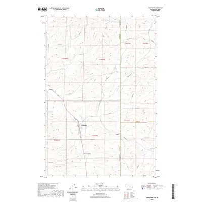 2020 Uniontown2020 Print · USGSThe borderlands of Washington and Idaho come to life in this survey of the Palouse. Researchers can trace family names and early rural sites from the streets of Uniontown and Colton to the isolated settlement of Leon and the banks of Union Flat Cr.
 - 2020 Map of Palouse, 2020 Print
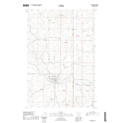 2020 Palouse2020 Print · USGSThe Palouse River valley and the surrounding high hills of the Washington-Idaho border come into focus in this contemporary survey. Researchers can trace rural settlement patterns and local landmarks from Ladow Butte and Grinnell to the streets of Palouse.
 - 2020 Map of Tekoa, 2020 Print
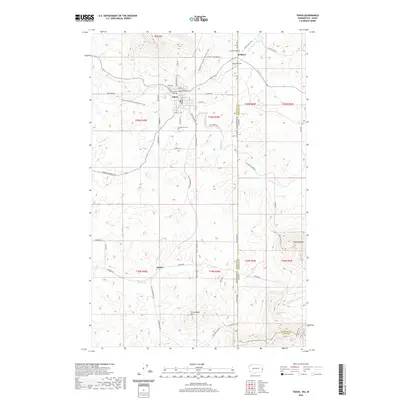 2020 Tekoa2020 Print · USGSNear the Washington-Idaho state line, this recent survey documents the agricultural and mountainous terrain around the town of Tekoa. Researchers can trace old family sites and local landmarks like Goldenrod Cem, Seltice, and the heights of Tekoa Mtn.
 - 2020 Map of Farmington, 2020 Print
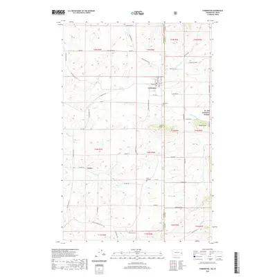 2020 Farmington2020 Print · USGSNear the border of Washington and Idaho, this regional survey captures the agricultural heart of the Palouse in the early twenty-first century. Genealogists and local historians can locate Farmington Cem and Walters, or trace the paths of Pine Cr and Silver Cr through the foothills of St. Joe National Forest.
 - 2020 Map of Texas Ridge, 2020 Print
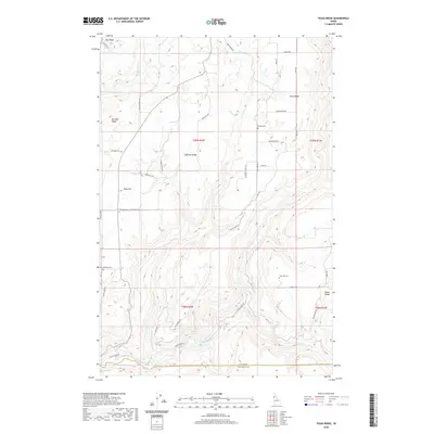 2020 Texas Ridge2020 Print · USGSThe high plateaus of northern Idaho appear here in the modern era, showing a landscape defined by the deep canyons of the Potlatch River. Researchers can locate historic rural burial grounds including Bethany Cem and Wild Rose Cem tucked along ridges like Texas Ridge.
 - 2020 Map of Clarkia, 2020 Print
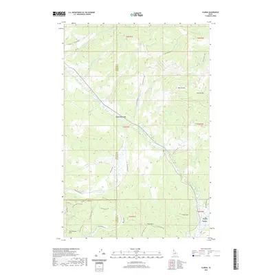 2020 Clarkia2020 Print · USGSThe Idaho timberlands near the tri-county border come into focus in this recent survey. Researchers can trace forest access routes and recreational trails like the Garnet Stone Ohv or locate regional landmarks like Clarkia Peak and the Saint Maries River.
 - 2020 Map of Genesee, 2020 Print
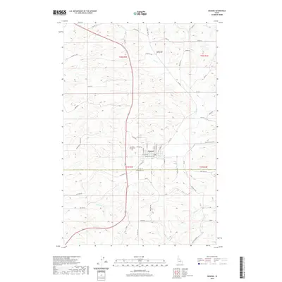 2020 Genesee2020 Print · USGSThe township of Genesee and its surrounding wheat-country landscape are documented here in the early twenty-first century. Family historians can locate specific burial sites at the Genesee Valley Lutheran Cem and Saint Johns Lutheran Cem while tracing the winding paths of Cow Cr and Union Flat Cr.
 - 2020 Map of Troy, 2020 Print
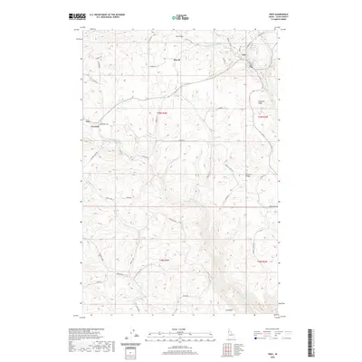 2020 Troy2020 Print · USGSTroy and the surrounding Latah County uplands are documented here in the early twenty-first century, showing a landscape of high ridges and deep creek valleys. Researchers can trace family-named landmarks and rural clusters like Cornwall, Fix Ridge, and the Bethel Cem.
 - 2020 Map of Princeton, 2020 Print
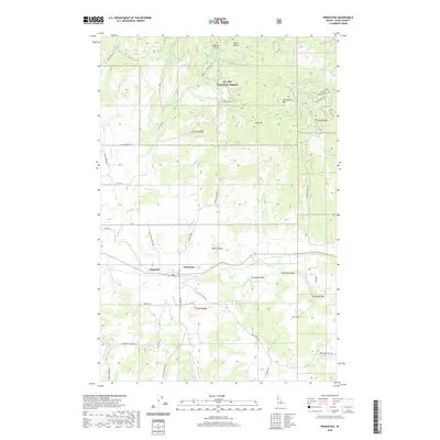 2020 Princeton2020 Print · USGSNear the northern edge of the Idaho Palouse, this era finds the rural communities of Princeton and Hampton tucked along the river valley. Genealogists and researchers can trace family-named roads like O'Reilly Road and Lemman Creek Road as they wind toward the St. Joe National Forest.
 - 2020 Map of Moscow Mountain, 2020 Print
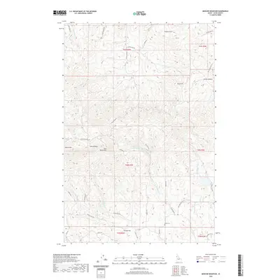 2020 Moscow Mountain2020 Print · USGSLatah County at the turn of the decade showcases the intersection of the rugged Palouse Range and rural Idaho homesteads. Researchers can trace family history through Beulah Cem, the settlement at Randall Flat, and various high-elevation landmarks like Moscow Mtn.
 - 2020 Map of Little Bear Ridge, 2020 Print
 2020 Little Bear Ridge2020 Print · USGSNez Perce County's high ridges and deep canyons are captured here in the contemporary era, showing a landscape defined by its agricultural plateaus. Genealogists can trace local roots at Spencer Cem or Little Bear Ridge Cem and follow old routes along Burnt Ridge and American Ridge.
 - 2020 Map of Mission Mountain, 2020 Print
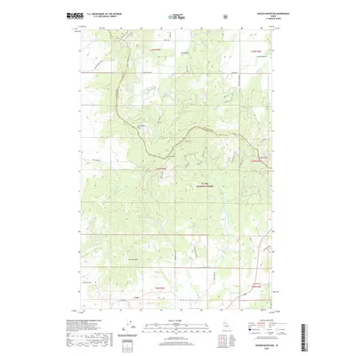 2020 Mission Mountain2020 Print · USGSLatah and Benewah counties are documented here in the early twenty-first century, showcasing a landscape of high timberlands and isolated mountain settlements. Researchers can trace the paths of the James E. Dewey Trail and locate family landmarks around Cora or King Valley.
 - 2020 Map of Aldermand Ridge, 2020 Print
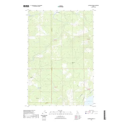 2020 Aldermand Ridge2020 Print · USGSThe Latah and Clearwater county line passes through this timbered interior during the early twenty-first century. Researchers can trace forest access roads and name-bearing clearings like Mason Meadows, Norwegian Ridge, and the northern reaches of Dworshak Reservoir.
 - 2020 Map of Tensed, 2020 Print
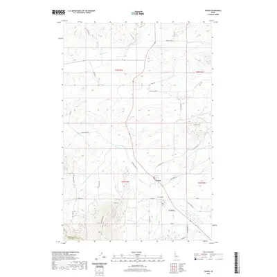 2020 Tensed2020 Print · USGSThe small settlements of Tensed and De Smet appear here in the early twenty-first century, surrounded by the high-country drainages of the Palouse region. Researchers can trace historic transportation routes like the Iron Mtn Trail and Mail Route Rd.
 - 2020 Map of Stanford, 2020 Print
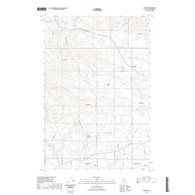 2020 Stanford2020 Print · USGSLatah County at the start of the 2020s shows a landscape of highland ridges and productive farm valleys. Researchers can trace rural infrastructure from the Palouse Range down to Stanford, including unique sites like the Friendly Persuasion Farm Airport.
 - 2020 Map of Bovill, 2020 Print
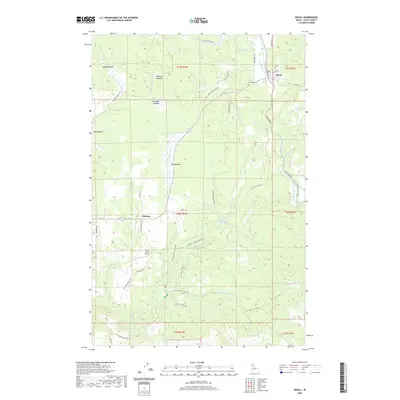 2020 Bovill2020 Print · USGSBovill and the timbered basins of the Potlatch River are captured here in the early twenty-first century. Researchers can locate the Bovill Cem, trace the remote Helmer settlement, and follow the paths of Hog Meadow Cr and Little Boulder Cr.
 - 2020 Map of Deary, 2020 Print
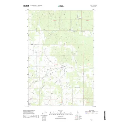 2020 Deary2020 Print · USGSThe timber and farming country of Latah County comes into focus in this recent survey. Researchers can trace family history through several local landmarks including Pine Crest Cem, the settlement of Avon, and the high ground of Texas Ridge.
 - 2020 Map of Park, 2020 Print
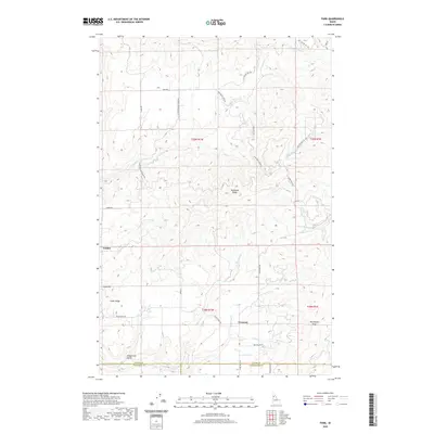 2020 Park2020 Print · USGSIn the modern era, this Idaho survey shows the rural settlements of Park, Linden, and Crescent as they exist within a maze of northern ridges. Researchers can trace land divisions and local landmarks like Tamarack Ridge, Gold Hill, and Longfellow Gulch.
 - 2020 Map of Sand Mountain, 2020 Print
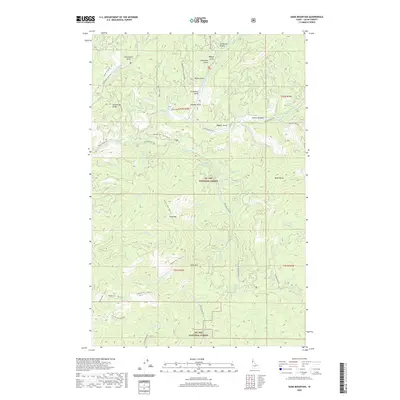 2020 Sand Mountain2020 Print · USGSUpper Latah County remains a landscape of dense timber and winding forest roads as seen in the twenty-first century. Outdoorsmen and local historians can trace the high ridges of Strychnine Ridge and find the remote waters of Hoodoo Gulch and the Palouse River.
 - 2020 Map of Juliaetta, 2020 Print
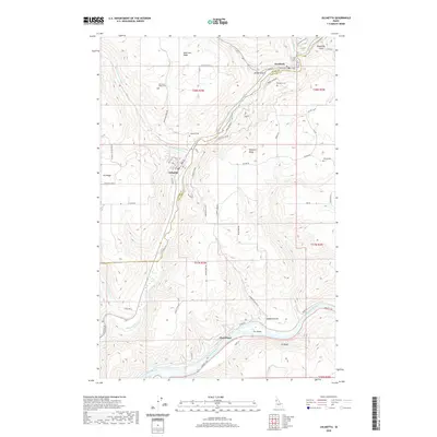 2020 Juliaetta2020 Print · USGSThe river valleys of Latah and Nez Perce counties are captured in this modern survey of the Palouse region. Genealogists can locate several key burial sites including American Ridge Cem and Juliaetta Cem near the banks of the Potlatch River.
 - 2020 Map of Bechtel Butte, 2020 Print
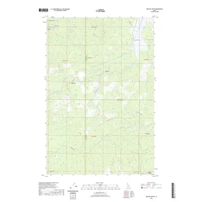 2020 Bechtel Butte2020 Print · USGSLatah County's mountain frontier is captured here at the start of the 2020s, showing the rugged intersection of the Clearwater and St. Joe watersheds. Trace the remote settlements of Sherwin and Keeler or locate landmarks like Bechtel Butte and Badger Meadows.
 - 2020 Map of Sanders, 2020 Print
 2020 Sanders2020 Print · USGSThe community of Sanders and the northern reaches of the St. Joe National Forest are detailed here in the early twenty-first century. Genealogists and local historians can locate Mountain View Cem and Sanders Cem, or trace landmarks like Nehchen Bluff.
 - 2020 Map of Potlatch, 2020 Print
 2020 Potlatch2020 Print · USGSNorthern Idaho timber and farming country is captured here during the 2020s, showing the enduring layouts of Potlatch and Onaway. Genealogists can locate Freeze Cem and Mendenhall Cem tucked among the hills near the Palouse River.
 - 2020 Map of West Dennis, 2020 Print
 2020 West Dennis2020 Print · USGSThe timbered ridges of the Idaho panhandle are captured here in 2020 at the border of Benewah and Latah counties. Trace the mountain terrain from West Dennis to the North-South Ski Bowl, locating landmarks like Fairview Knob and the headwaters of Santa Creek.
 - 2020 Map of Emida, 2020 Print
 2020 Emida2020 Print · USGSEmida and the surrounding Panhandle timberlands are shown here in the 2020s, highlighting a landscape of forest management and recreation. Trace access via Palouse Divide Rd to landmarks like Emida Peak, Bald Mtn, and the headwaters of the N Fork Palouse River.
Showing maps 1-25 of 69
Top cities of Latah County
- Moscow historical maps
- Genesee historical maps
- Troy historical maps
- Potlatch historical maps
- Juliaetta historical maps
- Deary historical maps
See more
Frequently asked questions
- What are the different types of historical maps available for Latah County?
- What is the oldest map of Latah County?
- Where can I purchase historical maps of Latah County for my home or office?
- Where can I download high-res historical maps of Latah County?
- Are there historical topographic maps available for Latah County?
- Is there historical aerial imagery available for Latah County?
- Where are historical maps of Latah County sourced from?