2020s Maps of Madison County, Idaho
Explore 34 historic maps of Madison County from the 2020s. These maps offer a rare glimpse into what life looked like during the 2020s — showing old roads, neighborhoods, homes, and landmarks that have changed or disappeared over time.
Whether you're researching your family's past, planning a metal detecting trip, or studying how Madison County's landscape evolved across the 2020s, these high-resolution maps are a powerful tool for exploring the history of this region.
- Focus on a specific era: All maps on this page are from the 2020s, giving you a focused view of this time period.
- See what’s changed: Compare century-old streets, trails, and buildings to today's modern landscape using overlays and satellite layers.
- Research with precision: Use these maps for genealogy, historical research, land use analysis, or educational projects.
- View, download, or print: Maps are fully viewable online in high resolution, and can be downloaded or printed for your own records.
Start exploring Madison County's history through authentic maps from the 2020s. This is your window into the past.
Madison County, ID maps
(34)- 2020 Map of White Owl Butte, 2020 Print
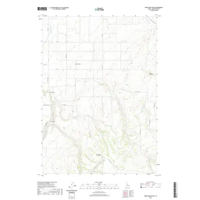 2020 White Owl Butte2020 Print · USGSMadison County's volcanic and agricultural character is on full display here in the early twenty-first century. Researchers can trace land use and irrigation patterns through the Enterprise Canal or locate local landmarks like White Owl Butte and Bitters Butte.
 - 2020 Map of Linderman Dam, 2020 Print
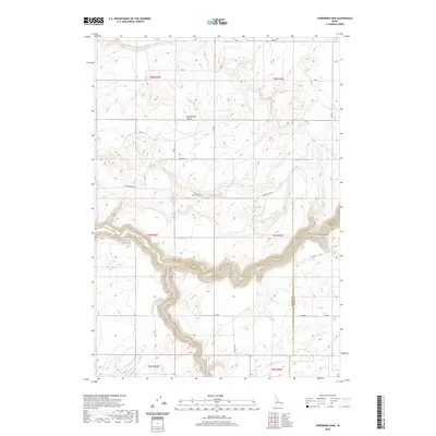 2020 Linderman Dam2020 Print · USGSMadison County at the turn of the decade shows a landscape of deep canyons and high plateaus. Researchers can trace the rugged course of the Teton River past Linderman Dam and investigate the unique topography of Hog Hollow Crater.
 - 2020 Map of Newdale, 2020 Print
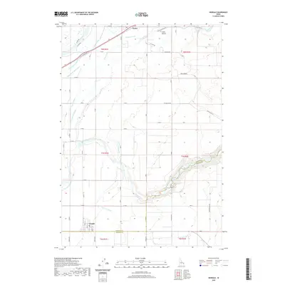 2020 Newdale2020 Print · USGSThe high plains of eastern Idaho are defined here by a sophisticated irrigation network during the early twenty-first century. Genealogists and historians can trace the layouts of Newdale and Chester, while locating landmarks like the Chester Cem and 800 North and the PO.
 - 2020 Map of Heise SE, 2020 Print
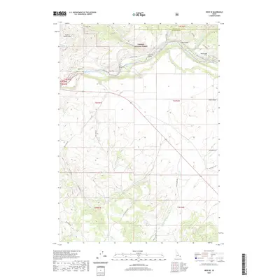 2020 Heise SE2020 Print · USGSBonneville and Madison counties are mapped here in the modern era, centered on the powerful waterway of the South Fork Snake. Researchers can trace the rural landscape across Antelope Flat or find family-named points like Table Rock and Kelly Mtn.
 - 2020 Map of Moody, 2020 Print
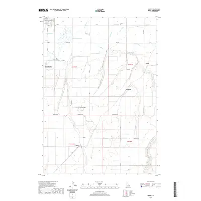 2020 Moody2020 Print · USGSMadison County's agricultural heartland is documented here in the early twenty-first century. Genealogists and local historians can trace the areas around Sugar City and Rexburg, including rural sites like Teton Cem and the settlement of Parkinson.
 - 2020 Map of Wright Creek, 2020 Print
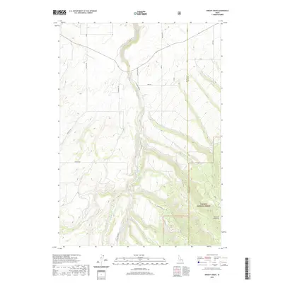 2020 Wright Creek2020 Print · USGSMadison and Teton counties are shown here in the 2020s where the high forest meets the agricultural valley. Researchers can trace the path of the Canyon Creek Canal or locate landmarks like Pincock Hot Springs and the Big Hole Mountains.
 - 2020 Map of Plano, 2020 Print
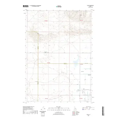 2020 Plano2020 Print · USGSThe high plains of Madison County and the Egin Bench are captured here in 2020, revealing the modern footprint of early settlement sites. Genealogists and local historians can trace landmarks like Plano, Edmonds, and the Plano Cem amidst a complex network of irrigation through the Saint-Anthony-Union-Canal.
 - 2020 Map of Rigby, 2020 Print
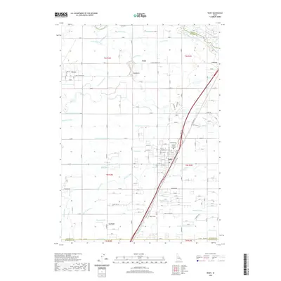 2020 Rigby2020 Print · USGSJefferson County’s agricultural heartland is documented here in the early 2000s, showcasing the complex water management system of the Snake River valley. Researchers can trace historic irrigation routes like the Burgess Canal and locate local landmarks such as the Jefferson County Courthouse and Little Buttes.
 - 2020 Map of Heise, 2020 Print
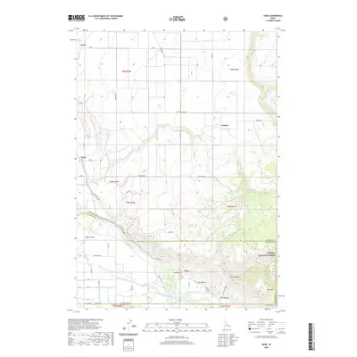 2020 Heise2020 Print · USGSThe Snake River valley in Jefferson County reveals a sophisticated irrigation landscape at the dawn of the 2020s. Researchers can trace the path of the Enterprise Canal, locate geothermal features like Elkhorn Warm Spring, and explore the rural settlements of Heise and Herbert.
 - 2020 Map of Wheaton Mountain, 2020 Print
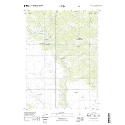 2020 Wheaton Mountain2020 Print · USGSThe Snake River corridor in Bonneville County comes into focus in this recent survey, showcasing the dramatic canyon geography of the Targhee National Forest. Local history researchers can trace high-elevation landmarks from Wheaton Mtn down to Fisher Bottom and the winding Old Ranger road.
 - 2020 Map of Ririe, 2020 Print
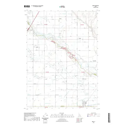 2020 Ririe2020 Print · USGSEastern Idaho's riverfront and irrigation networks are on full display in this study of the Ririe area. Genealogists and local historians can trace the paths between Ririe, Archer, and Lorenzo, or locate family sites near the Sutton Cem.
 - 2020 Map of Temple Peak, 2020 Print
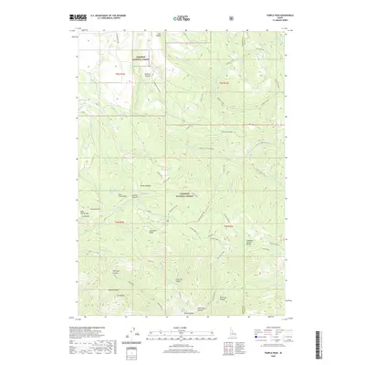 2020 Temple Peak2020 Print · USGSMadison and Teton Counties are shown here in the 2020s, highlighting a landscape defined by the high peaks and deep canyons of the Targhee National Forest. Researchers can trace the legacy of resource extraction at the Coalmine or locate remote landmarks like Castle Lake and Twin Peaks.
 - 2020 Map of Rexburg, 2020 Print
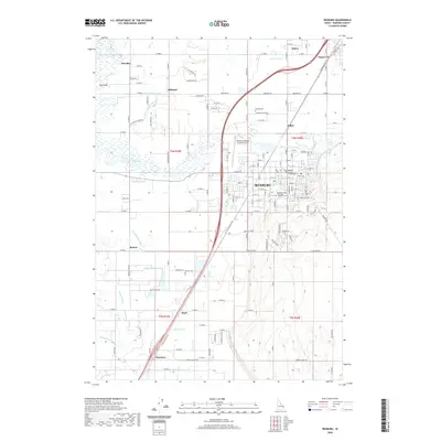 2020 Rexburg2020 Print · USGSMadison County's agricultural and academic heart thrives in this 2020 record of the Snake River Plain. Researchers can trace the layout of Rexburg alongside local landmarks like Brigham Young University Idaho and the Rexburg-Madison County Airport.
 - 2020 Map of Parker, 2020 Print
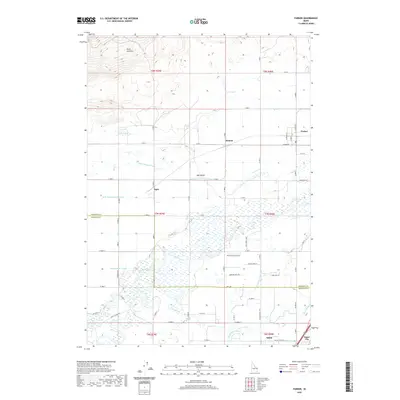 2020 Parker2020 Print · USGSMadison and Fremont Counties are defined by their deep agricultural roots in the early twenty-first century. Genealogists and historians can trace the irrigation networks and rural roads connecting Parker, Salem, and Sugar City along the Teton River.
 - 2020 Map of Saint Anthony, 2020 Print
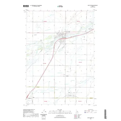 2020 Saint Anthony2020 Print · USGSUpper Snake River Valley settlements are captured here in the modern era, showing the enduring agricultural character of the Egin Bench. Researchers can trace local genealogy and land use through the Fremont County Courthouse, Riverview Cem., and the hamlet of Wilford.
 - 2020 Map of Menan Buttes, 2020 Print
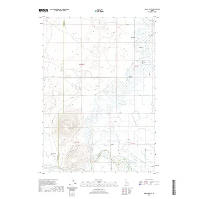 2020 Menan Buttes2020 Print · USGSMadison and Jefferson counties meet here at the start of the 2020s, dominated by the unique volcanic profile of the Menan Buttes. Researchers can trace the winding Snake River and locate historical markers like Beaver Dick Cem and Outlaw Pass.
 - 2020 Map of Hawley Gulch, 2020 Print
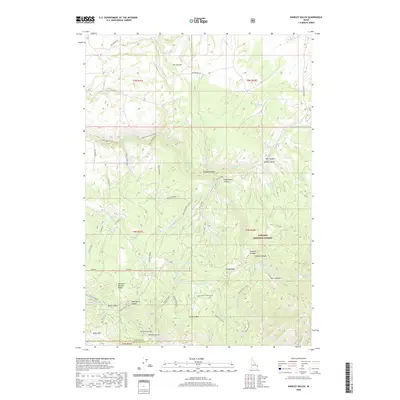 2020 Hawley Gulch2020 Print · USGSThe Bonneville and Madison County borderlands are shown here in recent years, dominated by the ridges and canyons of the Targhee National Forest. Researchers can trace old resource sites like the Morning Glory Mine or follow water routes along the Upper Waterfall Canal.
 - 2023 Map of White Owl Butte, 2023 Print
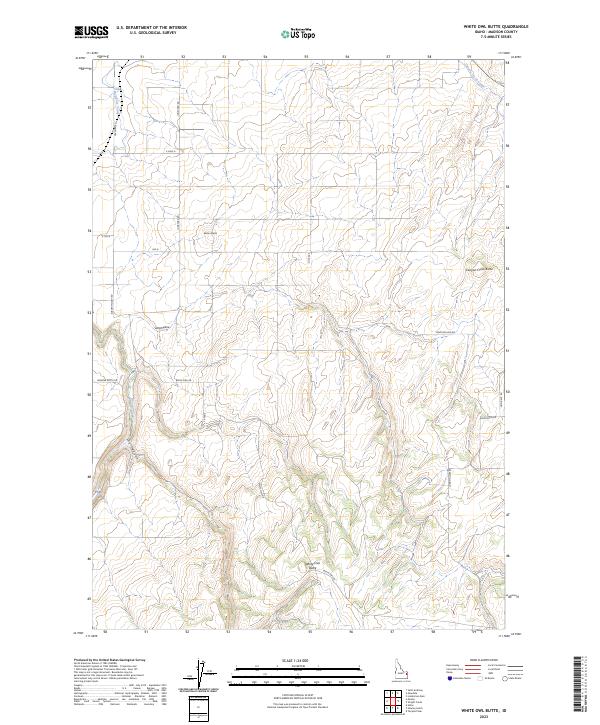 2023 White Owl Butte2023 Print · USGSMadison County, Idaho, is documented here in the early 2020s, showing a high-plateau landscape shaped by irrigation and agriculture. Researchers can trace the essential waterways of the Canyon Creek Canal and Enterprise Canal alongside landmarks like White Owl Butte.
 - 2023 Map of Heise, 2023 Print
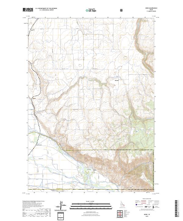 2023 Heise2023 Print · USGSMadison and Jefferson counties are shaped here by the powerful Snake River and its thermal waters. Researchers can trace the development of rural settlements like Heise and Herbert alongside complex irrigation works like the Eagle Rock Canal.
 - 2023 Map of Newdale, 2023 Print
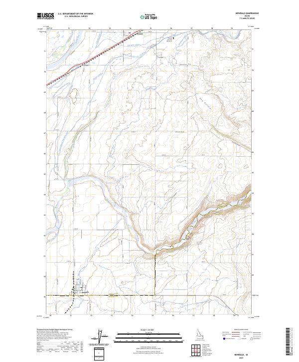 2023 Newdale2023 Print · USGSIn the high agricultural country of the Snake River Plain, this contemporary survey captures the essential water networks of the Teton and Henrys Fork basins. Genealogists and local historians can trace the irrigation systems of the Last Chance Canal and Enterprise Canal near Newdale and Chester.
 - 2023 Map of Parker, 2023 Print
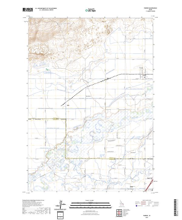 2023 Parker2023 Print · USGSFremont and Madison counties are defined by the winding Henrys Fork and a vast irrigation network in the early 2020s. Researchers can trace historical water rights and rural settlements through features like the Parker Cem, Egin Bench, and the Saint Anthony Union Canal.
 - 2023 Map of Plano, 2023 Print
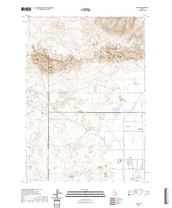 2023 Plano2023 Print · USGSThe convergence of Fremont, Madison, and Jefferson counties is captured here in the twenty-first century, showcasing a landscape shaped by high-desert agriculture. Researchers can trace the complex irrigation networks of the Egin Bench, from the Saint Anthony Canal to the small community of Plano and its Plano Cemetery.
 - 2024 Map of Temple Peak, 2024 Print
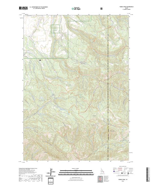 2024 Temple Peak2024 Print · USGSThe high peaks and drainages of the Big Hole Mountains are shown here in the contemporary era, spanning the border of Madison and Teton counties. Researchers can trace the trails and summits that define the Targhee National Forest, from the heights of Temple Peak to the waters of Crystal Lake.
 - 2024 Map of Moody, 2024 Print
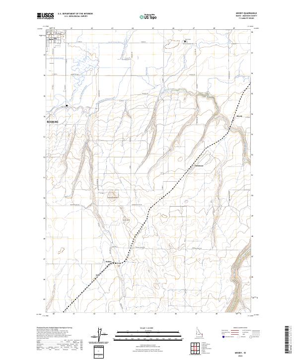 2024 Moody2024 Print · USGSMadison County's agricultural heartland and canal networks are captured in this contemporary survey of the eastern Snake River Plain. Researchers can trace historic irrigation routes and small settlements like Parkinson, Walker, and the Teton Cem.
 - 2024 Map of Linderman Dam, 2024 Print
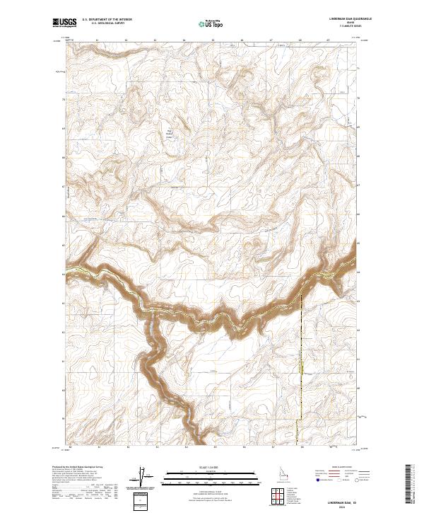 2024 Linderman Dam2024 Print · USGSFremont County and the surrounding tri-county borderlands are captured here in a contemporary survey of the high plains. Researchers can trace the dramatic course of the Teton River and locate geological landmarks like the Hog Hollow Crater and Hog Hollow.
Showing maps 1-25 of 34
Top cities of Madison County
Frequently asked questions
- What are the different types of historical maps available for Madison County?
- What is the oldest map of Madison County?
- Where can I purchase historical maps of Madison County for my home or office?
- Where can I download high-res historical maps of Madison County?
- Are there historical topographic maps available for Madison County?
- Is there historical aerial imagery available for Madison County?
- Where are historical maps of Madison County sourced from?