2000s (21st Century) Maps of Madison County, Idaho
Explore 85 historic maps of Madison County from the 2000s (21st Century). These maps offer a rare glimpse into what life looked like during the 2000s — showing old roads, neighborhoods, homes, and landmarks that have changed or disappeared over time.
Whether you're researching your family's past, planning a metal detecting trip, or studying how Madison County's landscape evolved across the 2000s, these high-resolution maps are a powerful tool for exploring the history of this region.
- Focus on a specific era: All maps on this page are from the 2000s, giving you a focused view of this time period.
- See what’s changed: Compare century-old streets, trails, and buildings to today's modern landscape using overlays and satellite layers.
- Research with precision: Use these maps for genealogy, historical research, land use analysis, or educational projects.
- View, download, or print: Maps are fully viewable online in high resolution, and can be downloaded or printed for your own records.
Start exploring Madison County's history through authentic maps from the 2000s. This is your window into the past.
Madison County, ID maps
(85)- 2010 Map of Parker, 2010 Print
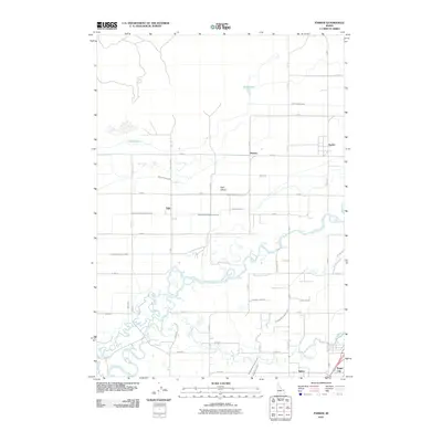 2010 Parker2010 Print · USGSThe Snake River Plain comes alive in this 2010 survey of Madison County's agricultural heartland and river junctions. Genealogists and historians can trace the irrigation networks that sustain Parker, Salem, and the waters of Henrys Fork.
 - 2010 Map of Menan Buttes, 2010 Print
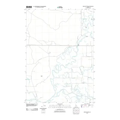 2010 Menan Buttes2010 Print · USGSMadison County, Idaho, is depicted in the early 21st century as a landscape defined by the confluence of the Snake River and Henrys Fork. Researchers can trace irrigation history through the Liberty Park Canal or locate local landmarks like the Beaver Dick Cemetery and Independence School.
 - 2010 Map of Saint Anthony, 2010 Print
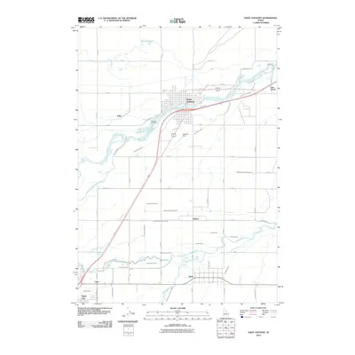 2010 Saint Anthony2010 Print · USGSSaint Anthony and the Snake River Plain are captured here in the early twenty-first century, defined by a complex irrigation network. Genealogists can locate family sites near Riverview Cemetery or trace early water rights along the Farmers Friend Canal and Teton River.
 - 2010 Map of Rexburg, 2010 Print
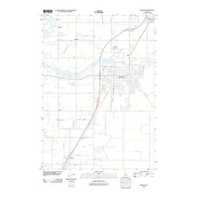 2010 Rexburg2010 Print · USGSRexburg and the surrounding Upper Snake River Plain are captured here in the early twenty-first century as the region’s irrigation and highway networks matured. Genealogists and local historians can trace family-named sites and landmarks like Rexburg Cemetery, Burton, and the Teton Island Canal.
 - 2010 Map of Newdale, 2010 Print
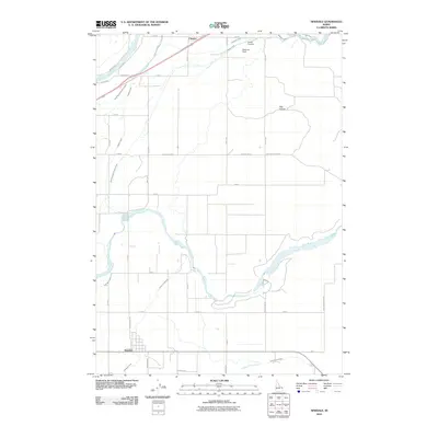 2010 Newdale2010 Print · USGSFremont County's agricultural heartland is documented in this 2010 survey, showing the vital irrigation systems of the Snake River Plain. Researchers can locate the community of Chester, the Chester Cemetery, and the riverfronts of Henrys Fork and the Teton River.
 - 2010 Map of Rigby, 2010 Print
 2010 Rigby2010 Print · USGSThe Upper Snake River Plain in the early 21st century remains defined by its complex irrigation network and agricultural settlements. Researchers can trace the paths of the Burgess Canal and Scotts Slough while locating family sites near Rigby, Annis, and Garfield.
 - 2010 Map of Ririe, 2010 Print
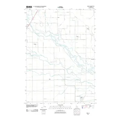 2010 Ririe2010 Print · USGSThe Snake River valley at the start of the 21st century reveals a landscape defined by sophisticated irrigation and rural settlement. Trace the legacy of early families and water rights through the Sutton Cemetery, the Harrison Canal, and the community of Ririe.
 - 2010 Map of Plano, 2010 Print
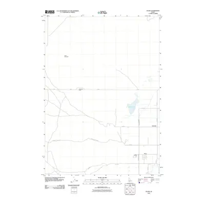 2010 Plano2010 Print · USGSMadison County farmland and irrigation networks are documented here during the early twenty-first century. Researchers can locate the Plano Cemetery, trace the path of the Saint Anthony Canal, and find landmarks like Ninemile Knoll and Quayles Lake.
 - 2010 Map of White Owl Butte, 2010 Print
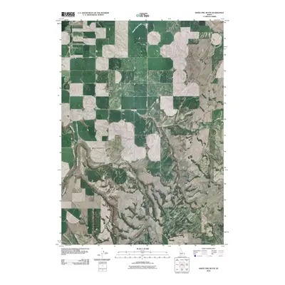 2010 White Owl Butte2010 Print · USGSMadison County's volcanic ridges and high plains are captured here in the early twenty-first century. Researchers can trace rural routes and water features like Canyon Creek Canal, White Owl Butte, and the distinct Elbow of Moody Creek.
 - 2010 Map of Moody, 2010 Print
 2010 Moody2010 Print · USGSThe Madison County agricultural plain is captured here in the early twenty-first century, showing the irrigation-dependent landscape surrounding Sugar City. Researchers can trace rural lineages through the Sugar City Cemetery or locate old settlements like Parkinson and Gale.
 - 2010 Map of Linderman Dam, 2010 Print
 2010 Linderman Dam2010 Print · USGSMadison County ranching and water infrastructure are captured here in the early twenty-first century as the river meets the plains. Local historians can trace family lands near Linderman Ranch or the course of the Teton River as it passes Linderman Dam.
 - 2011 Map of Temple Peak, 2011 Print
 2011 Temple Peak2011 Print · USGSThe high ridges and deep canyons of Madison County are captured in detail during the early twenty-first century. Researchers can trace the drainages of Calamity Creek and Ruby Creek or locate landmarks like Moody Meadow and Farnes Mountain.
 - 2011 Map of Hawley Gulch, 2011 Print
 2011 Hawley Gulch2011 Print · USGSEastern Idaho high country remains a landscape of deep canyons and mining history as seen in this early twenty-first-century survey. You can trace the rugged topography from Lookout Mountain to the Morning Glory Mine and the eponymous Hawley Gulch.
 - 2011 Map of Heise SE, 2011 Print
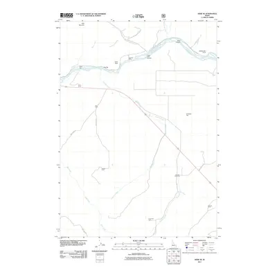 2011 Heise SE2011 Print · USGSBonneville County ranching and the winding Snake River corridor are captured here in the early twenty-first century. Genealogists and local historians can trace legacy family holdings such as Wheeler Ranch, Petersen Ranch, and Reed Ranch across the desert flats.
 - 2011 Map of Wright Creek, 2011 Print
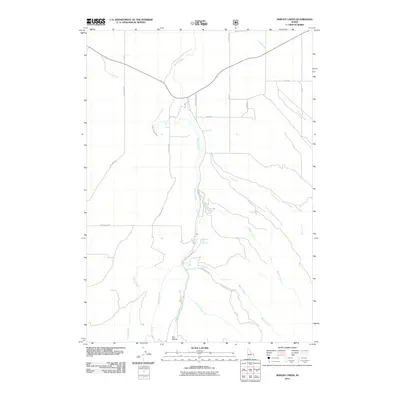 2011 Wright Creek2011 Print · USGSMadison County's rugged drainage networks and geothermal points are captured here in the early twenty-first century. Researchers can trace the path of the Canyon Creek Canal or locate the site of Pincock Hot Springs and Flat Hollow.
 - 2011 Map of Wheaton Mountain, 2011 Print
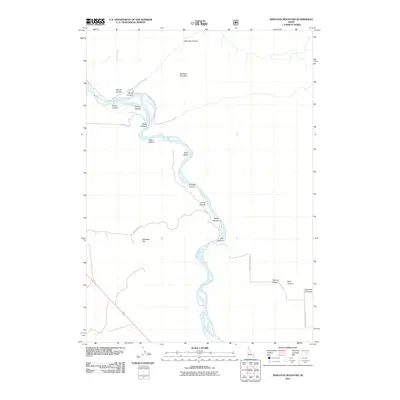 2011 Wheaton Mountain2011 Print · USGSBonneville County high country is documented in detail here during the early twenty-first century. History seekers and locals can trace the remote drainage of Woods Creek and the high elevations surrounding Wheaton Mountain.
 - 2011 Map of Heise, 2011 Print
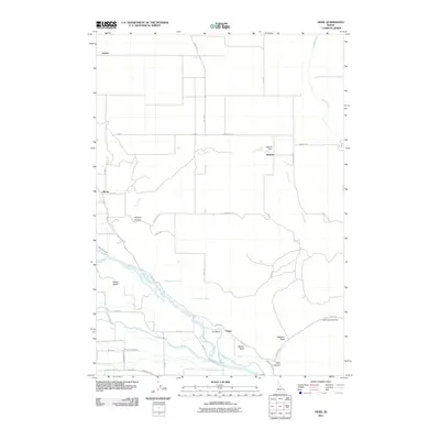 2011 Heise2011 Print · USGSThe Snake River valley in Jefferson County is shown at a time when irrigation and recreation shaped the local economy. Trace the intricate path of the Sunnydell Canal and Anderson Canal, or locate family landmarks near Heise, Jensen, and the Kelly Canyon Ski Area.
 - 2013 Map of White Owl Butte, 2013 Print
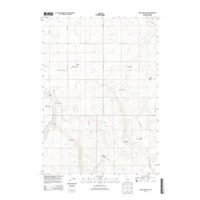 2013 White Owl Butte2013 Print · USGSMadison County high-desert terrain is mapped here in the early twenty-first century, showing a landscape defined by elevated buttes and irrigation. Researchers can trace the path of the Canyon Cr Canal or locate landmarks like Bitters Butte and Dry Canyon.
 - 2013 Map of Moody, 2013 Print
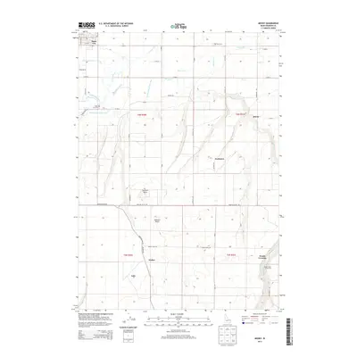 2013 Moody2013 Print · USGSMadison County at the start of the 2010s shows a landscape defined by the S Teton River and its irrigation canals. You can trace early settlements and cemeteries like Parkinson, Walker, and the Teton Cem alongside local landmarks like Sommers Butte.
 - 2013 Map of Heise SE, 2013 Print
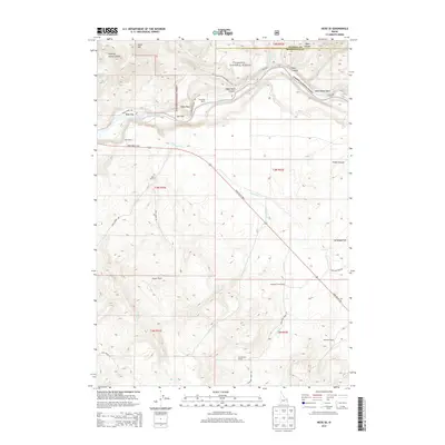 2013 Heise SE2013 Print · USGSHigh ranching country in eastern Idaho is captured here just after the turn of the millennium, centered on the Snake River corridor. Genealogists and local historians can locate long-standing family operations like Antelope Creek Ranch, Clark Ranch, and Petersen Ranch scattered across the mountain foothills.
 - 2013 Map of Hawley Gulch, 2013 Print
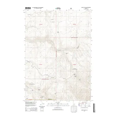 2013 Hawley Gulch2013 Print · USGSThe borderlands of Madison and Bonneville Counties are captured here in the early 2010s, showcasing a landscape of high ridges and secluded canyons. Researchers can trace historic access routes like Mud Springs Rd or locate local landmarks like Sawmill Gulch, Hawley Spring, and Lookout Mtn.
 - 2013 Map of Wright Creek, 2013 Print
 2013 Wright Creek2013 Print · USGSMadison and Teton counties meet in this high-altitude landscape during the early 21st century. Researchers can trace the water infrastructure of the Canyon Creek Canal and locate points of interest like Pincock Hot Springs and the Big Hole Mountains.
 - 2013 Map of Rigby, 2013 Print
 2013 Rigby2013 Print · USGSThe upper Snake River Plain is captured here in the early twenty-first century, showcasing a landscape defined by its vital irrigation network. Researchers can trace the paths of the Parks Lewisville Canal, Annis Slough, and the rural community of Annis.
 - 2013 Map of Wheaton Mountain, 2013 Print
 2013 Wheaton Mountain2013 Print · USGSThe Snake River corridor in Bonneville County is captured here in the early twenty-first century, showing a remote landscape shaped by water and canyon walls. Researchers can trace the rugged geography of Wheaton Mtn and the fertile Fisher Bottom along the river's edge.
 - 2013 Map of Heise, 2013 Print
 2013 Heise2013 Print · USGSThe Snake River canyon and its surrounding thermal springs are captured in this Idaho survey near the Bonneville county line. Geologists and local historians can trace the paths of the Sunnydell Canal and Enterprise Canal or locate Heise Hot Springs and Kelly Mtn.
Showing maps 1-25 of 85
Top cities of Madison County
Frequently asked questions
- What are the different types of historical maps available for Madison County?
- What is the oldest map of Madison County?
- Where can I purchase historical maps of Madison County for my home or office?
- Where can I download high-res historical maps of Madison County?
- Are there historical topographic maps available for Madison County?
- Is there historical aerial imagery available for Madison County?
- Where are historical maps of Madison County sourced from?