2000s (21st Century) Maps of Schuyler County, Illinois
Explore 95 historic maps of Schuyler County from the 2000s (21st Century). These maps offer a rare glimpse into what life looked like during the 2000s — showing old roads, neighborhoods, homes, and landmarks that have changed or disappeared over time.
Whether you're researching your family's past, planning a metal detecting trip, or studying how Schuyler County's landscape evolved across the 2000s, these high-resolution maps are a powerful tool for exploring the history of this region.
- Focus on a specific era: All maps on this page are from the 2000s, giving you a focused view of this time period.
- See what’s changed: Compare century-old streets, trails, and buildings to today's modern landscape using overlays and satellite layers.
- Research with precision: Use these maps for genealogy, historical research, land use analysis, or educational projects.
- View, download, or print: Maps are fully viewable online in high resolution, and can be downloaded or printed for your own records.
Start exploring Schuyler County's history through authentic maps from the 2000s. This is your window into the past.
Schuyler County, IL maps
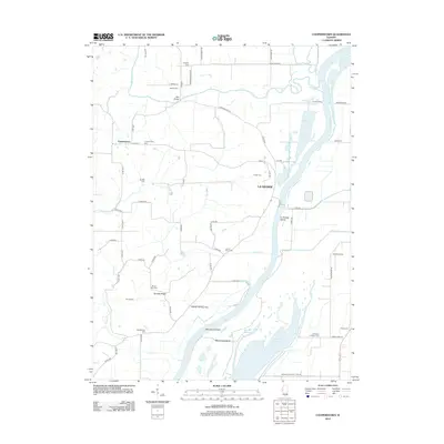
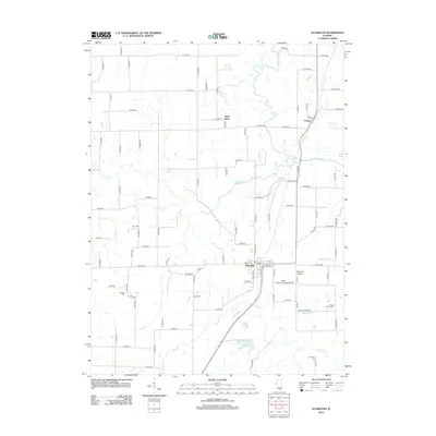
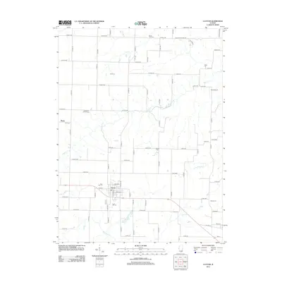
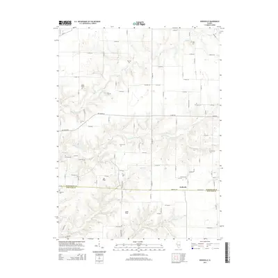
(95)- 2012 Map of Camden, 2012 Print
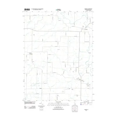 2012 Camden2012 Print · USGSCovers Schuyler County, including Brooklyn, Huntsville, and other nearby areas
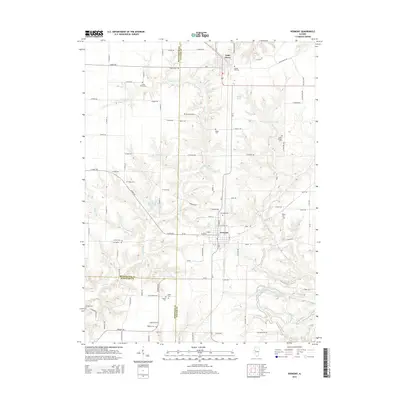
 - 2012 Map of Rushville South, 2012 Print
 2012 Rushville South2012 Print · USGSCovers Schuyler County, including Rushville, Sugar Grove, and other nearby areas
 - 2012 Map of Vermont, 2012 Print
 2012 Vermont2012 Print · USGSCovers Schuyler County, including Vermont, Table Grove, and other nearby areas
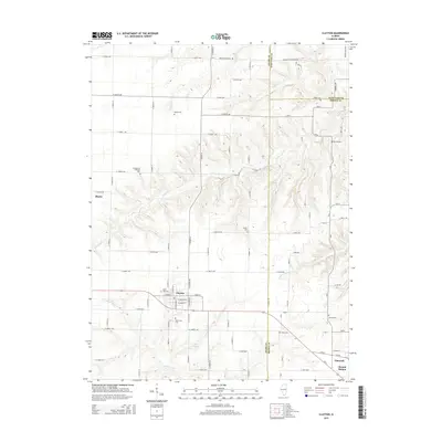
 - 2012 Map of Astoria, 2012 Print
 2012 Astoria2012 Print · USGSCovers Schuyler County, including Astoria, Browning, and other nearby areas
 - 2012 Map of Ripley, 2012 Print
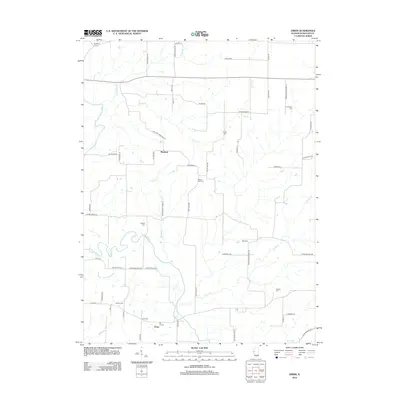
 2012 Ripley2012 Print · USGSCovers Schuyler County, including Ripley, Scotts Mill, and other nearby areas
 - 2012 Map of Doddsville, 2012 Print
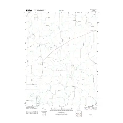
 2012 Doddsville2012 Print · USGSCovers Schuyler County, including Doddsville, McDonough County, and other nearby areas
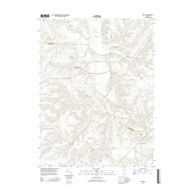
 - 2012 Map of Ray, 2012 Print
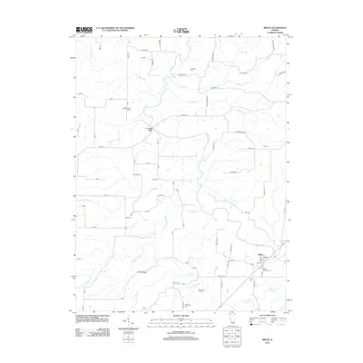
 2012 Ray2012 Print · USGSCovers Schuyler County, including Browning, Ray, and other nearby areas
 - 2012 Map of Erwin, 2012 Print
 2012 Erwin2012 Print · USGSCovers Schuyler County, including Littleton, Erwin, and other nearby areas
 - 2012 Map of Cooperstown, 2012 Print
 2012 Cooperstown2012 Print · USGSCovers Schuyler County, including Cooperstown, Briggs Landing, and other nearby areas
 - 2012 Map of Beardstown, 2012 Print
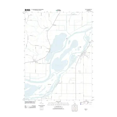
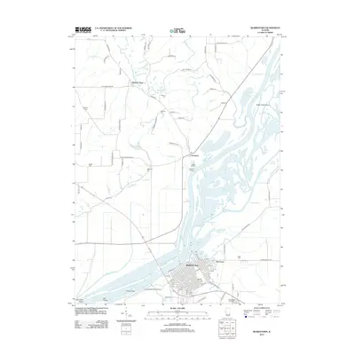 2012 Beardstown2012 Print · USGSCovers Schuyler County, including Beardstown, Frederick, and other nearby areas
 - 2012 Map of Rushville North, 2012 Print
 2012 Rushville North2012 Print · USGSCovers Schuyler County, including Rushville, Littleton, and other nearby areas
 - 2012 Map of Augusta, 2012 Print
 2012 Augusta2012 Print · USGSCovers Schuyler County, including Augusta, La Prairie, and other nearby areas
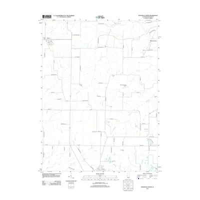
 - 2012 Map of Fandon, 2012 Print
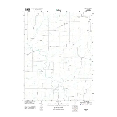 2012 Fandon2012 Print · USGSCovers Schuyler County, including Birmingham, Fandon, and other nearby areas
 - 2012 Map of Industry, 2012 Print
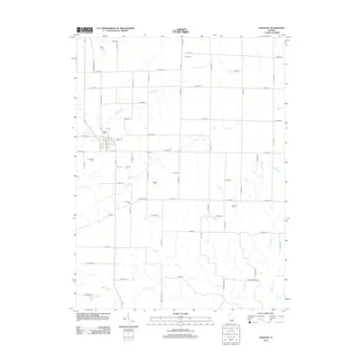 2012 Industry2012 Print · USGSCovers Schuyler County, including Industry, McDonough County, and other nearby areas
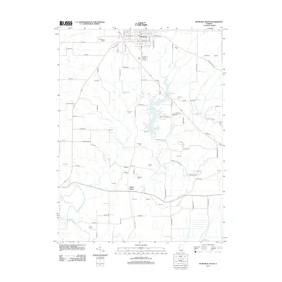
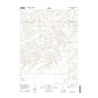
 - 2012 Map of Lake Mount Sterling, 2012 Print
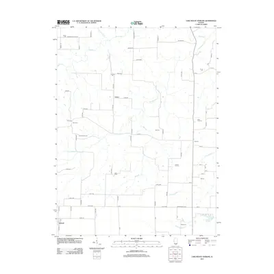 2012 Lake Mount Sterling2012 Print · USGSCovers Schuyler County, including Damon, Timewell, and other nearby areas
 - 2012 Map of Plymouth, 2012 Print
 2012 Plymouth2012 Print · USGSCovers Schuyler County, including Saint Mary, Plymouth, and other nearby areas
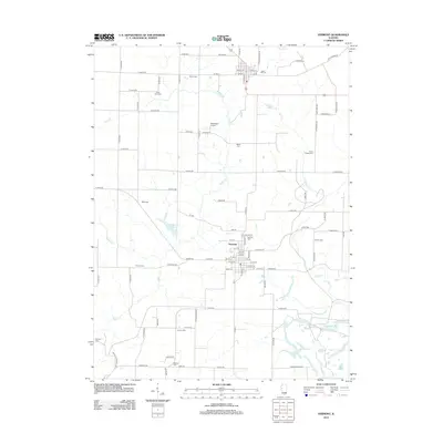
 - 2012 Map of Clayton, 2012 Print
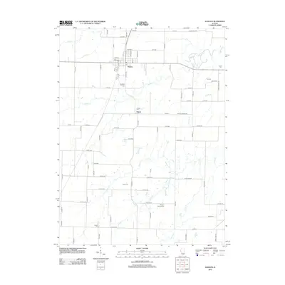
 2012 Clayton2012 Print · USGSCovers Schuyler County, including Clayton, Blacks, and other nearby areas
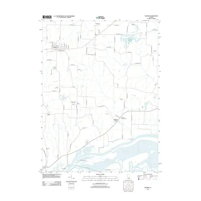
 - 2012 Map of Bath, 2012 Print
 2012 Bath2012 Print · USGSCovers Schuyler County, including Bath, Marbletown, and other nearby areas
 - 2012 Map of Clear Lake, 2012 Print
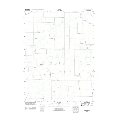
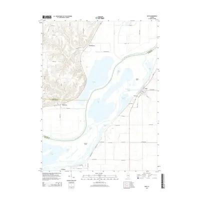
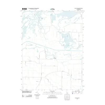 2012 Clear Lake2012 Print · USGSCovers Schuyler County, including Browning, Clear Lake, and other nearby areas
 - 2015 Map of Ripley, 2015 Print
 2015 Ripley2015 Print · USGSCovers Schuyler County, including Ripley, Scotts Mill, and other nearby areas
 - 2015 Map of Doddsville, 2015 Print
 2015 Doddsville2015 Print · USGSCovers Schuyler County, including Doddsville, McDonough County, and other nearby areas
 - 2015 Map of Clayton, 2015 Print
 2015 Clayton2015 Print · USGSCovers Schuyler County, including Clayton, Blacks, and other nearby areas
 - 2015 Map of Vermont, 2015 Print
 2015 Vermont2015 Print · USGSCovers Schuyler County, including Vermont, Table Grove, and other nearby areas
 - 2015 Map of Bath, 2015 Print
 2015 Bath2015 Print · USGSCovers Schuyler County, including Bath, Marbletown, and other nearby areas
 - 2015 Map of Lake Mount Sterling, 2015 Print
 2015 Lake Mount Sterling2015 Print · USGSCovers Schuyler County, including Damon, Timewell, and other nearby areas
Showing maps 1-25 of 95
Top cities of Schuyler County
- Rushville historical maps
- Brooklyn historical maps
- Littleton historical maps
- Frederick historical maps
- Huntsville historical maps
- Birmingham historical maps
See more
Frequently asked questions
- What are the different types of historical maps available for Schuyler County?
- What is the oldest map of Schuyler County?
- Where can I purchase historical maps of Schuyler County for my home or office?
- Where can I download high-res historical maps of Schuyler County?
- Are there historical topographic maps available for Schuyler County?
- Is there historical aerial imagery available for Schuyler County?
- Where are historical maps of Schuyler County sourced from?